Emprunté par l'auteur

#9285836
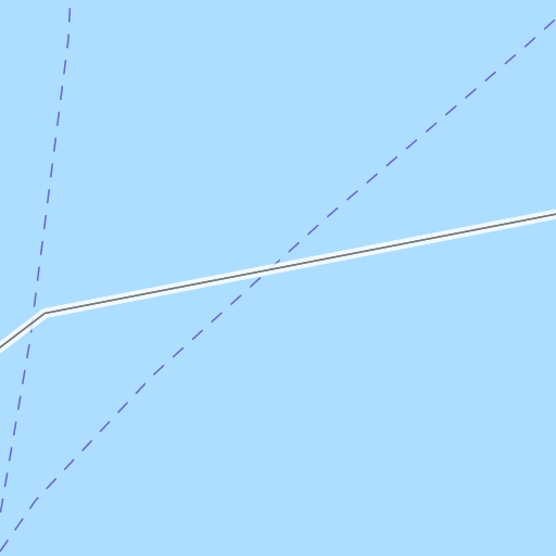
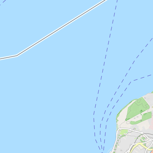
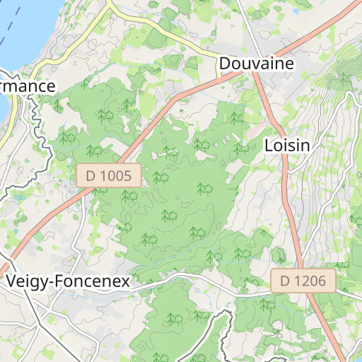
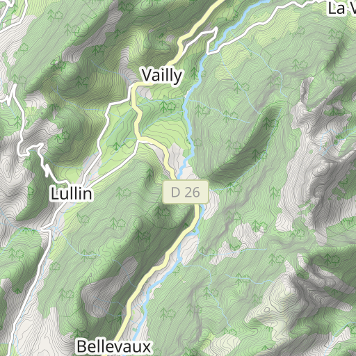
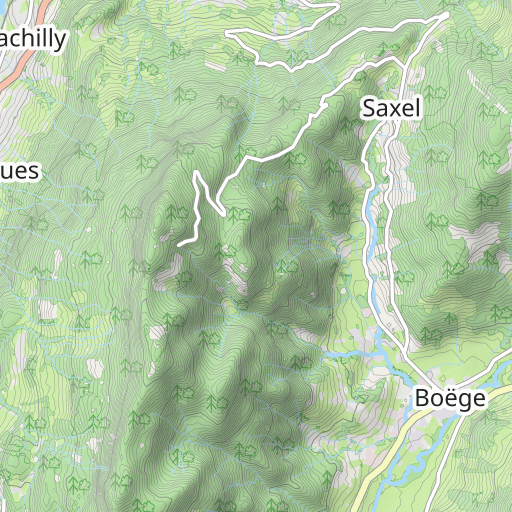
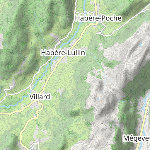
CRT G3 63km 773m
VÉLO DE ROUTE
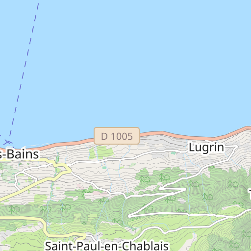
Thonon-les-Bains Thonon-les-Bains claude51
Créé le 06/11/2018
0 avis
| 0 photos
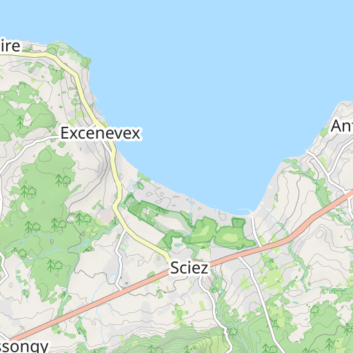
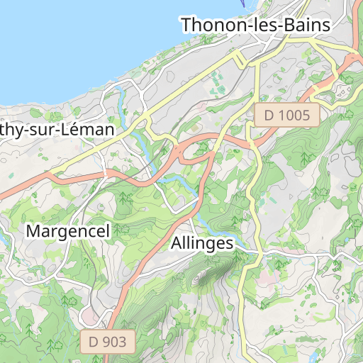
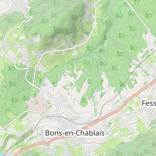
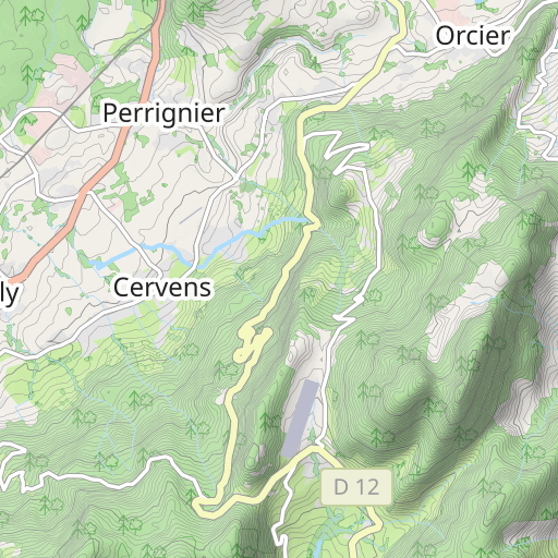
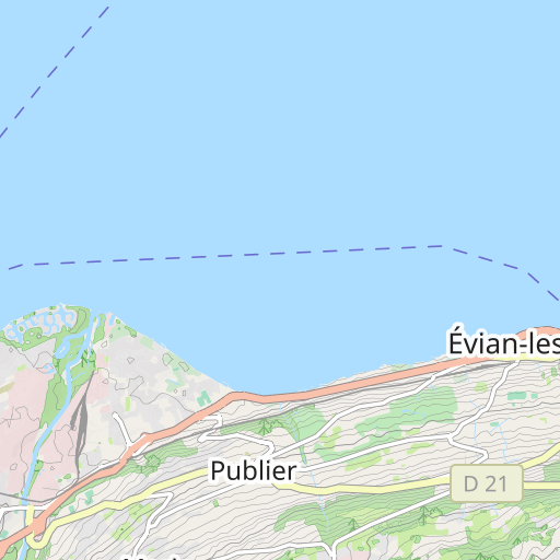
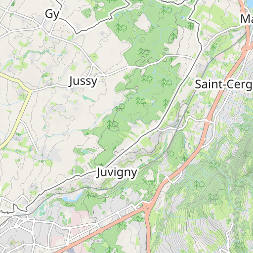
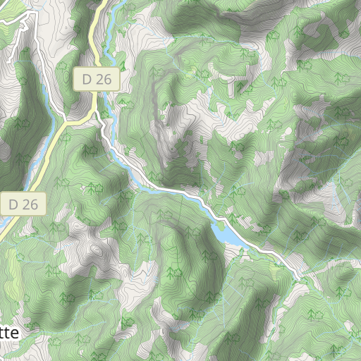
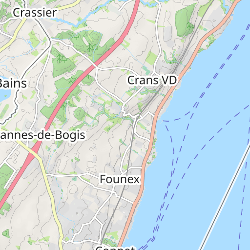
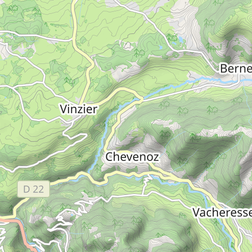
Découvrez ce parcours de vélo de 62,9 km à proximité de Thonon-les-Bains. Ce parcours emprunte 60 km de routes. Il présente une ascension cumulée de plus de 770m.
Distance
62.92 km
Dénivelé +
775 m
Dénivelé -
774 m
Altitude min.
380 m
Altitude max.
710 m

3 km
Photos du parcours
L'auteur n'a pas encore ajouté de photos à ce parcours
Partagez votre expérience avec des photos prises le long de ce parcours ! Contactez l'auteur pour suggérer vos images et faire vivre cet itinéraire aux autres passionnés.
Mot de l'auteur
Note laissée par
claude51
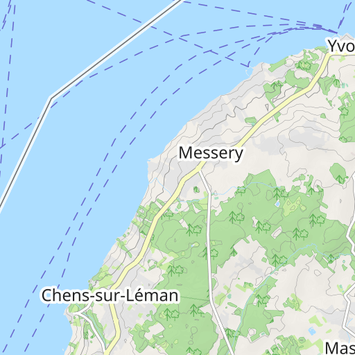
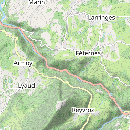
Thonon - Margencel - Route Forestière - Perrignier - Macheron - Draillant - Gros Perrier - Brens - Ballaison - Massongy - Chevilly - Excenevex - Choisy - Margencel - Thonon.
Avis des utilisateurs (0)
Vous avez adoré un endroit en particulier ? Pourquoi ne pas partager votre expérience avec les autres ? En laissant un avis, vous pouver aider la communauté OpenRunner à découvrir des endroits incroyables ou à éviter les déceptions. N'hésitez pas à partager votre ressenti, vous pouvez faire la différence !


