Soyez le premier à laisser un avis

#2180309
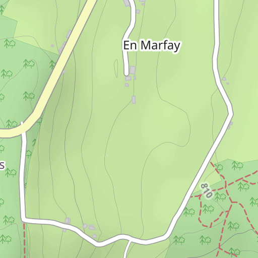
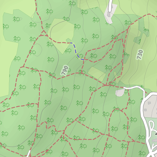
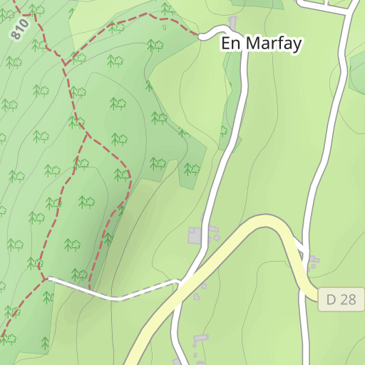
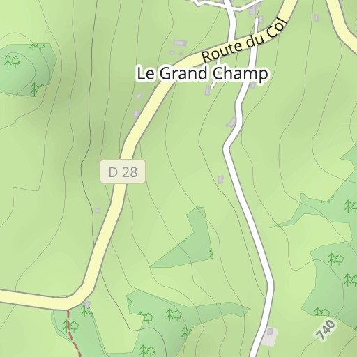
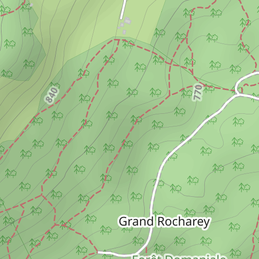
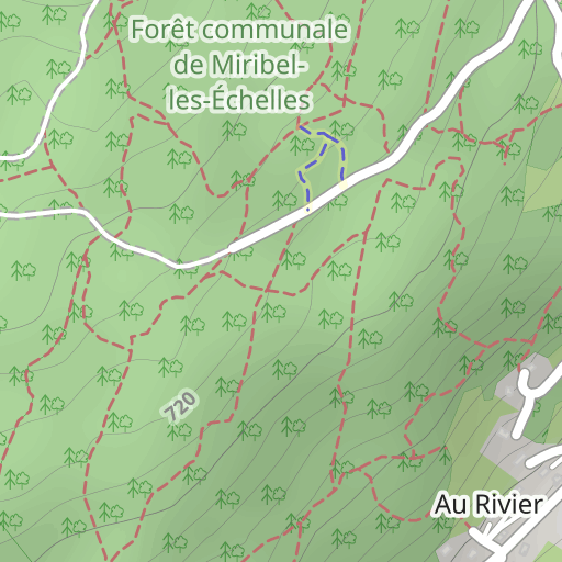
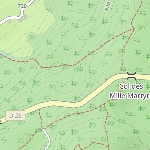
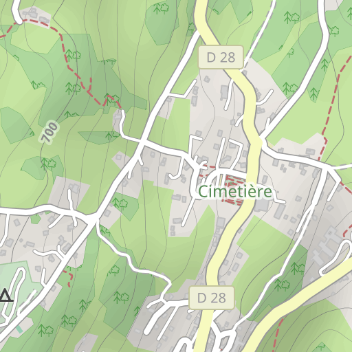
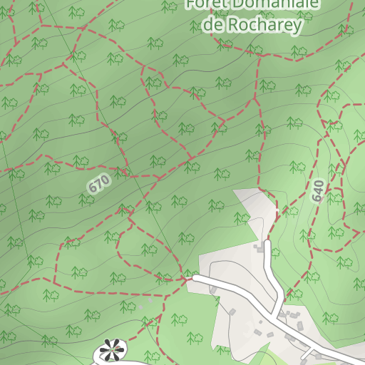
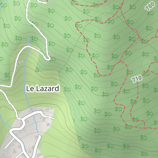
Forêt du Rocharay
RANDONNÉE PÉDESTRE
Miribel-les-Échelles Miribel-les-Échelles gentianes88
Créé le 12/01/2013
0 avis
| 0 photos
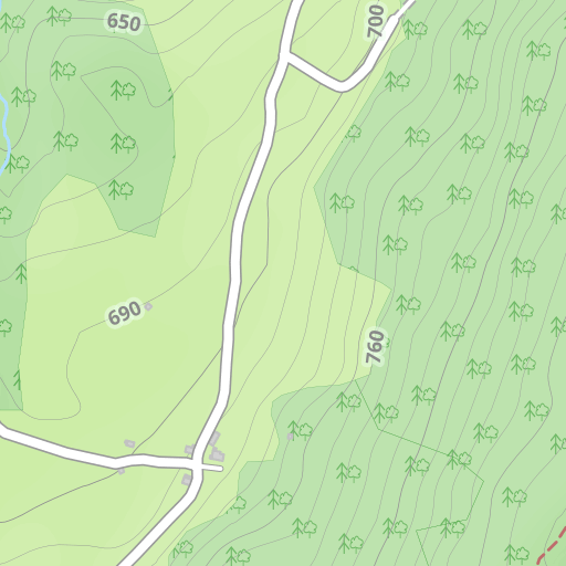
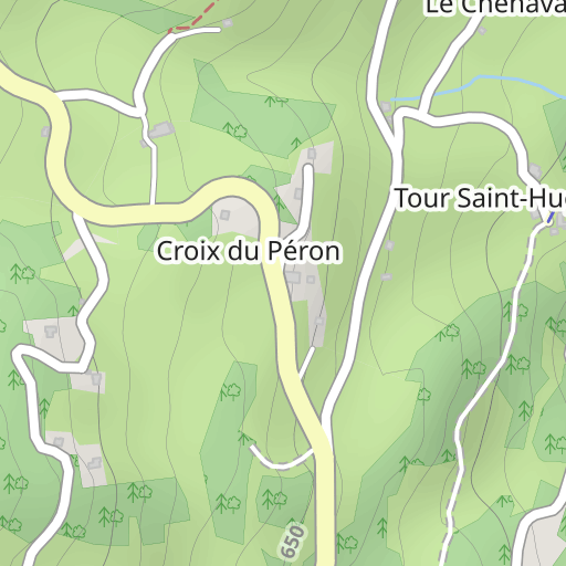
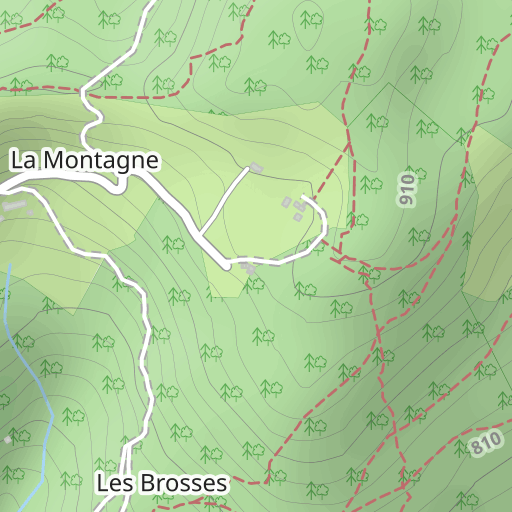
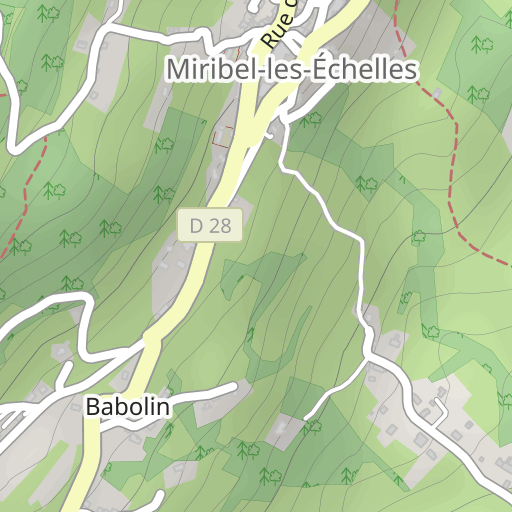
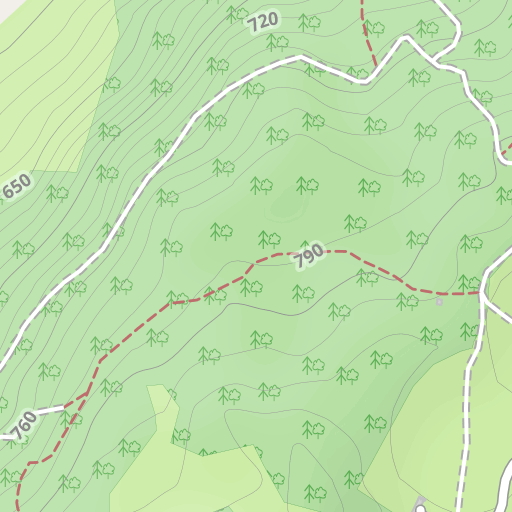
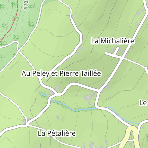
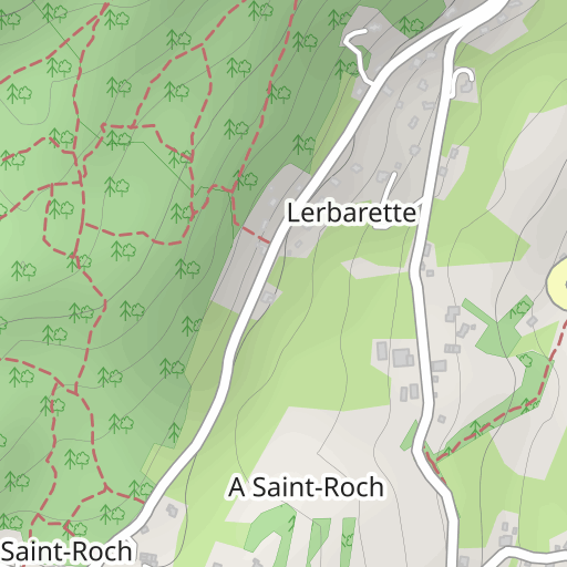
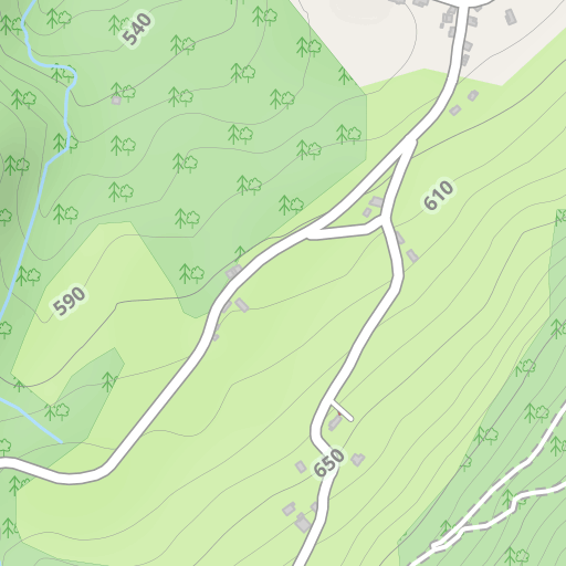
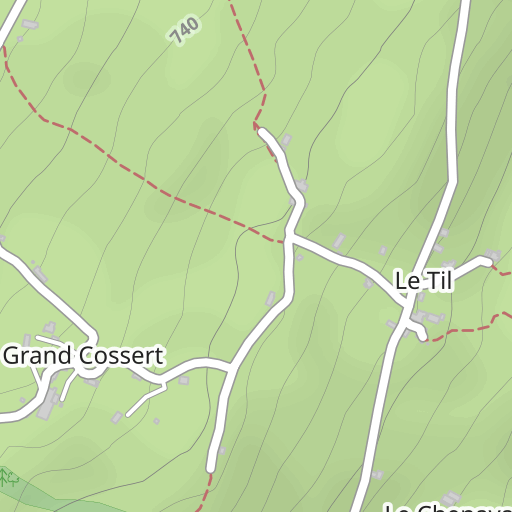
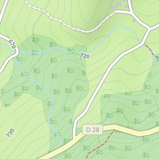
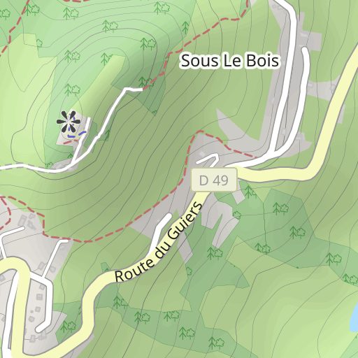
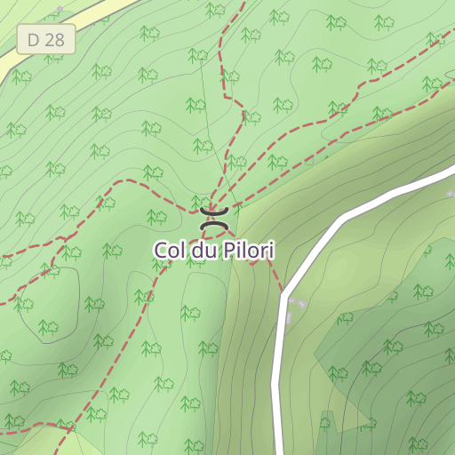
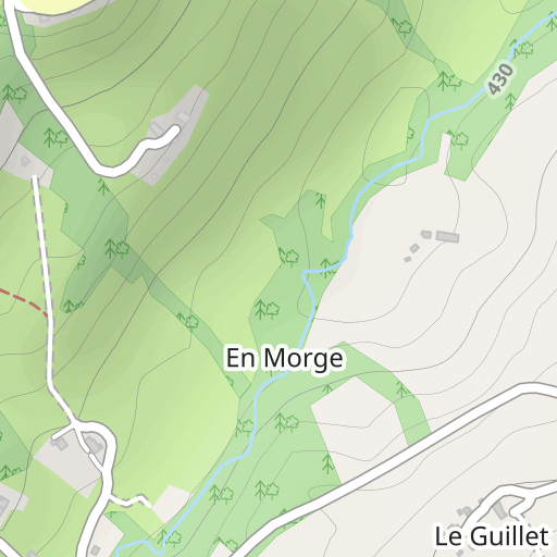
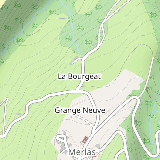
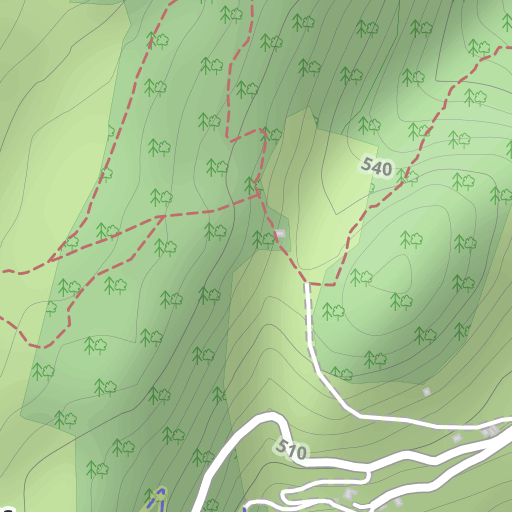
Découvrez ce parcours de randonnée de 8,2 km à proximité de Miribel-les-Échelles. Il présente une ascension cumulée de plus de 300m. Prévoyez environ 2 heures et 50 minutes pour réaliser ce parcours.
Distance
8.17 km
Dénivelé +
308 m
Dénivelé -
291 m
Altitude min.
602 m
Altitude max.
888 m
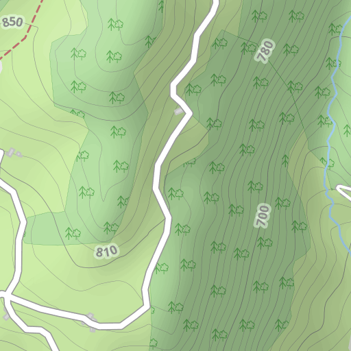
300 m
Photos du parcours
L'auteur n'a pas encore ajouté de photos à ce parcours
Partagez votre expérience avec des photos prises le long de ce parcours ! Contactez l'auteur pour suggérer vos images et faire vivre cet itinéraire aux autres passionnés.
Mot de l'auteur
L'auteur n'a pas encore ajouté d'informations pour ce parcours
Encouragez-le à rédiger une description sur ce parcours !
Avis des utilisateurs (0)
Vous avez adoré un endroit en particulier ? Pourquoi ne pas partager votre expérience avec les autres ? En laissant un avis, vous pouver aider la communauté OpenRunner à découvrir des endroits incroyables ou à éviter les déceptions. N'hésitez pas à partager votre ressenti, vous pouvez faire la différence !


