Soyez le premier à laisser un avis

#17814226
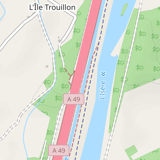
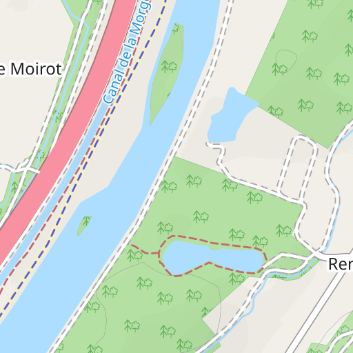
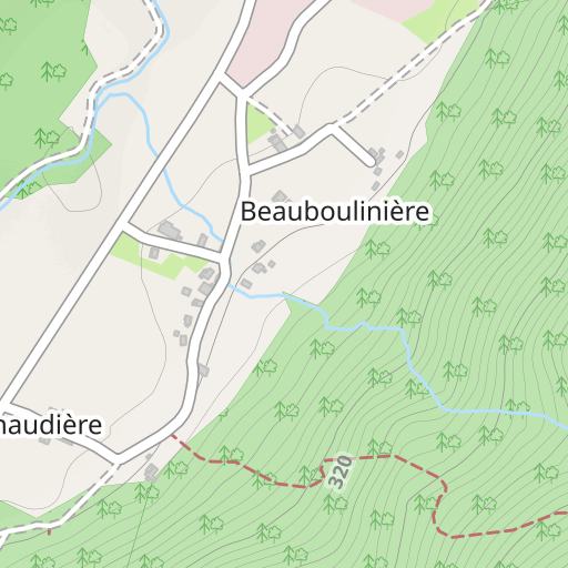
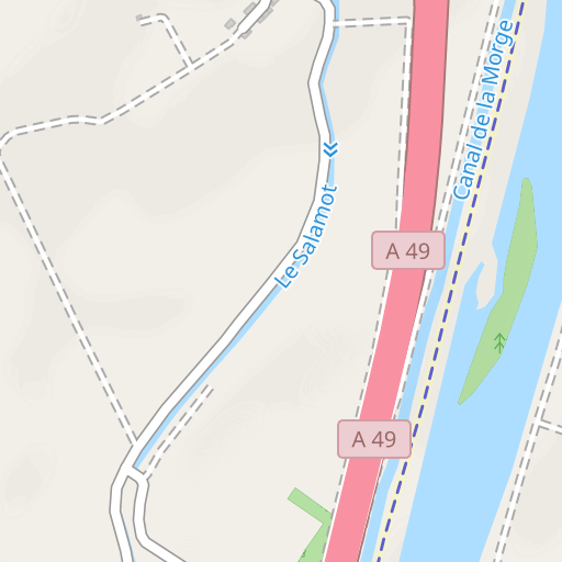
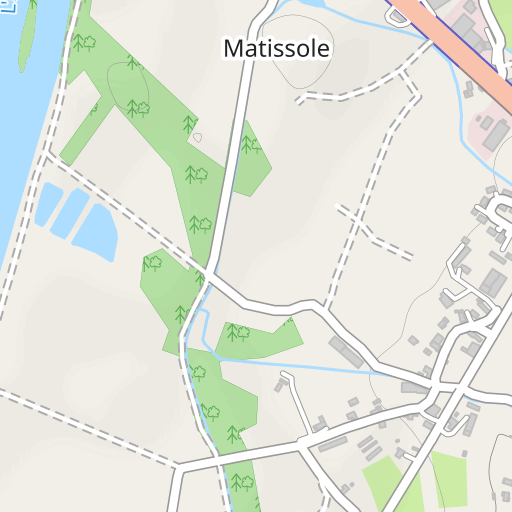
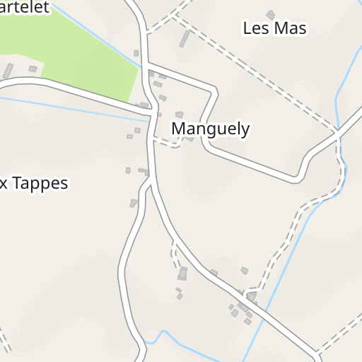
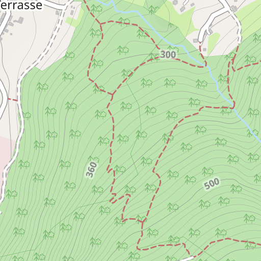
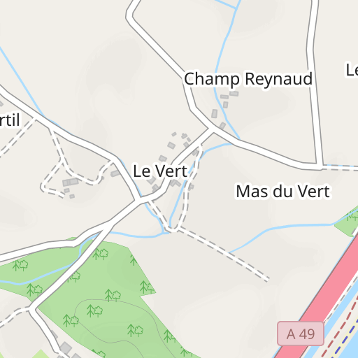
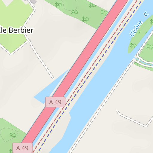
Les berges de l'Isère à St-Quentin
MARCHE
Saint-Quentin-sur-Isère Saint-Quentin-sur-Isère bobacou38
Créé le 16/10/2023
0 avis
| 0 photos
Découvrez ce parcours de marche de 5,4 km à proximité de Saint-Quentin-sur-Isère. Ce parcours emprunte 3,2 km de pistes forestières et 1,8 km de routes. Prévoyez environ 1 heure et 25 minutes pour réaliser ce parcours.
Distance
5.40 km
Dénivelé +
41 m
Dénivelé -
40 m
Altitude min.
183 m
Altitude max.
208 m


300 m
Photos du parcours
L'auteur n'a pas encore ajouté de photos à ce parcours
Partagez votre expérience avec des photos prises le long de ce parcours ! Contactez l'auteur pour suggérer vos images et faire vivre cet itinéraire aux autres passionnés.
Mot de l'auteur
L'auteur n'a pas encore ajouté d'informations pour ce parcours
Encouragez-le à rédiger une description sur ce parcours !
Avis des utilisateurs (0)
Vous avez adoré un endroit en particulier ? Pourquoi ne pas partager votre expérience avec les autres ? En laissant un avis, vous pouver aider la communauté OpenRunner à découvrir des endroits incroyables ou à éviter les déceptions. N'hésitez pas à partager votre ressenti, vous pouvez faire la différence !


