Soyez le premier à laisser un avis

#7455027
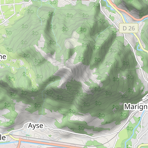
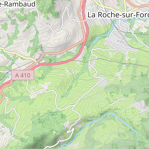
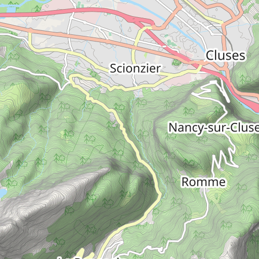
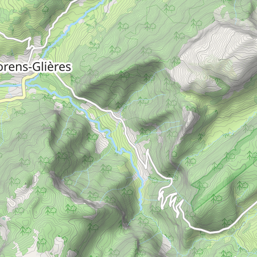
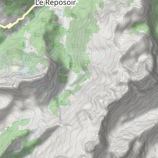
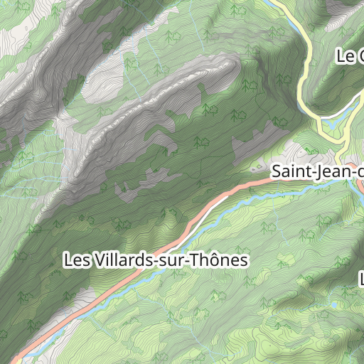
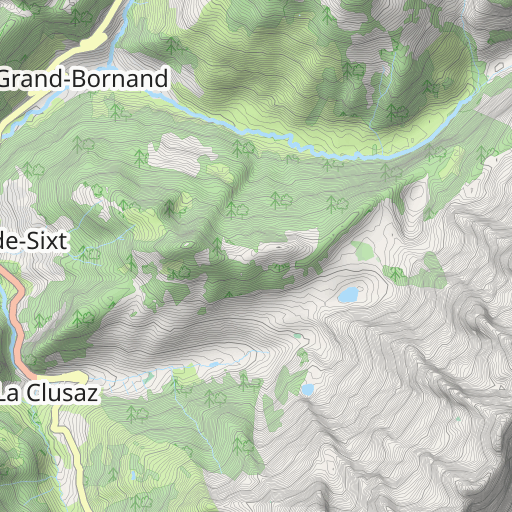
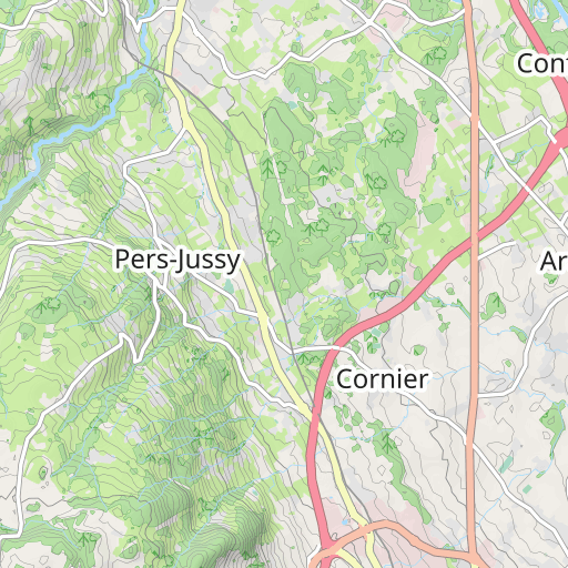
CCG74-Colombière Sud
CYCLISME - ROUTE
La Roche-sur-Foron La Roche-sur-Foron maitre74
Créé le 29/05/2017
0 avis
| 0 photos
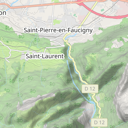
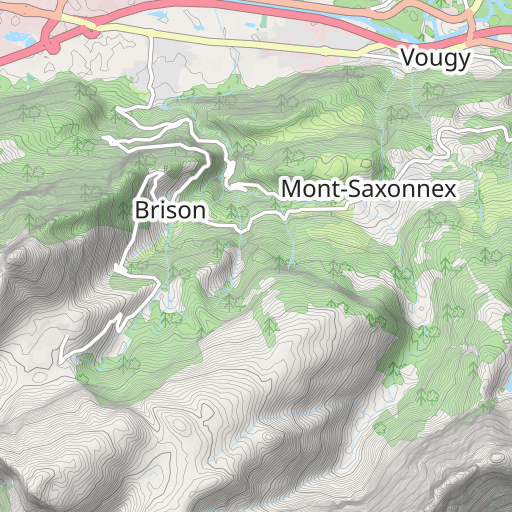
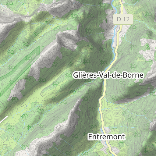
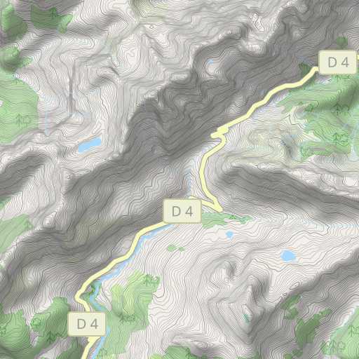
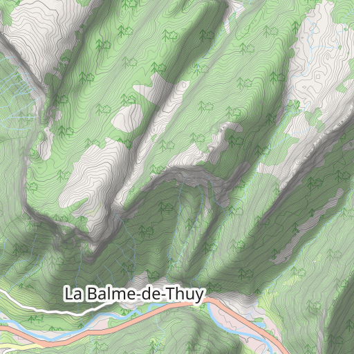
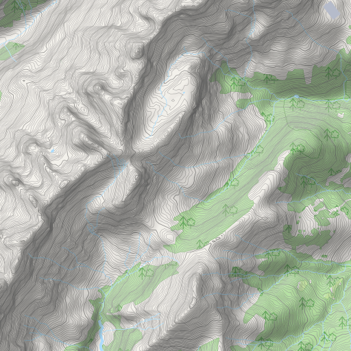
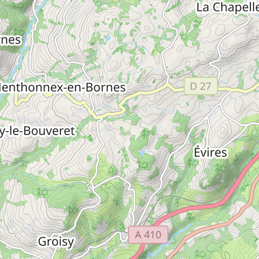
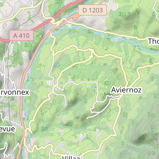
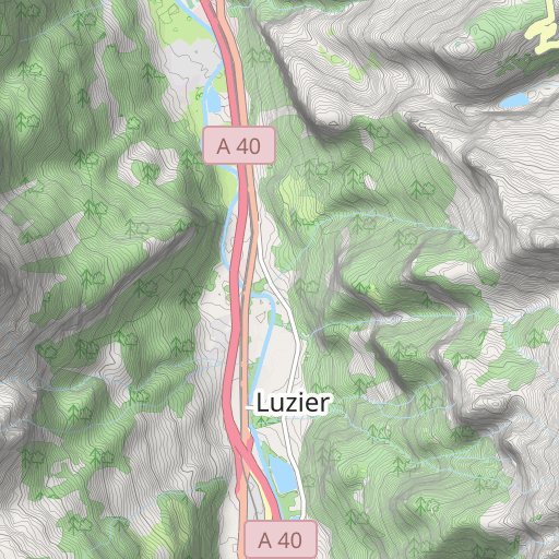
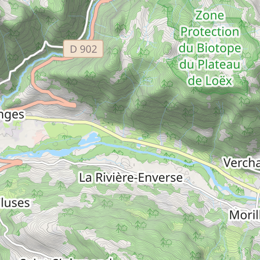
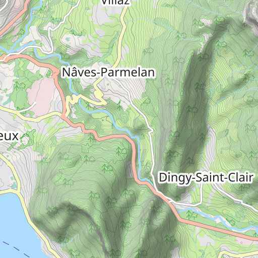
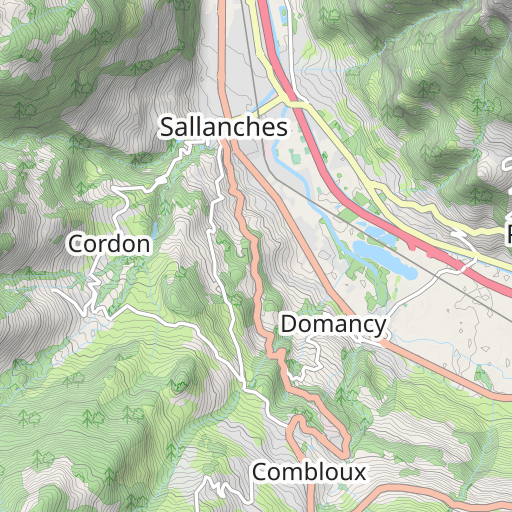
Découvrez ce parcours de vélo de 73,5 km à proximité de La Roche-sur-Foron. Ce parcours emprunte uniquement des routes. Il présente une ascension cumulée de plus de 1450m.
Distance
73.46 km
Dénivelé +
1 455 m
Dénivelé -
1 454 m
Altitude min.
447 m
Altitude max.
1 614 m


3 km
Photos du parcours
L'auteur n'a pas encore ajouté de photos à ce parcours
Partagez votre expérience avec des photos prises le long de ce parcours ! Contactez l'auteur pour suggérer vos images et faire vivre cet itinéraire aux autres passionnés.
Mot de l'auteur
L'auteur n'a pas encore ajouté d'informations pour ce parcours
Encouragez-le à rédiger une description sur ce parcours !
Avis des utilisateurs (0)
Vous avez adoré un endroit en particulier ? Pourquoi ne pas partager votre expérience avec les autres ? En laissant un avis, vous pouver aider la communauté OpenRunner à découvrir des endroits incroyables ou à éviter les déceptions. N'hésitez pas à partager votre ressenti, vous pouvez faire la différence !


