Emprunté par l'auteur

#13516151
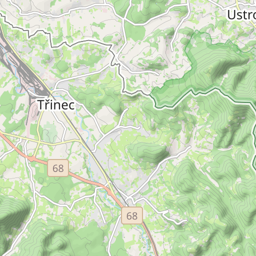
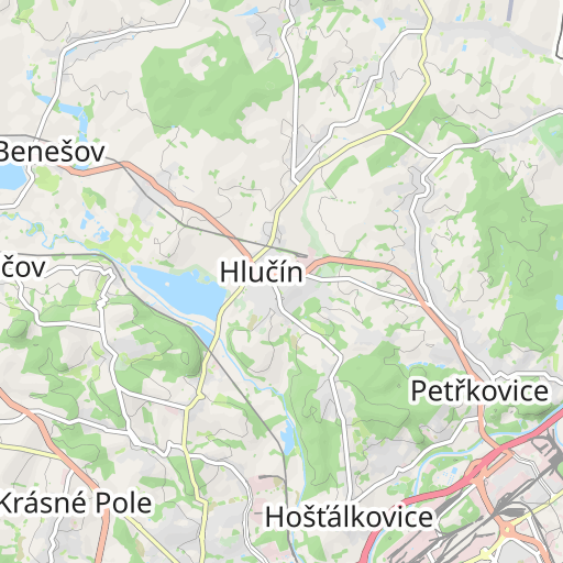
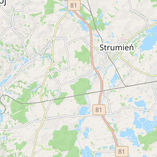
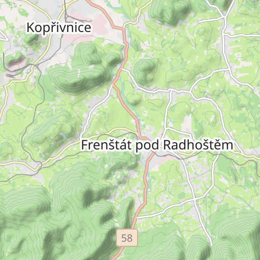
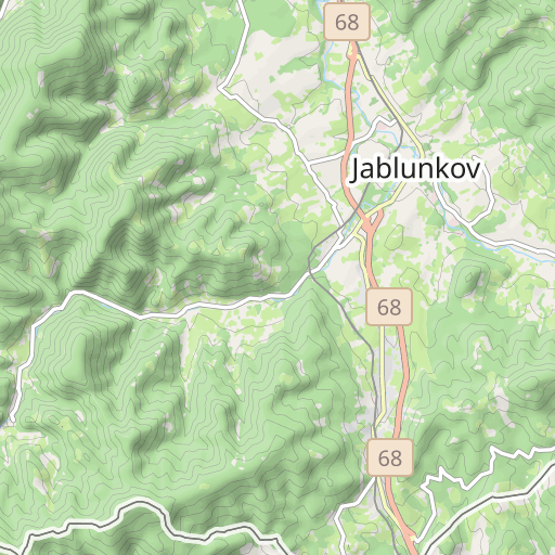
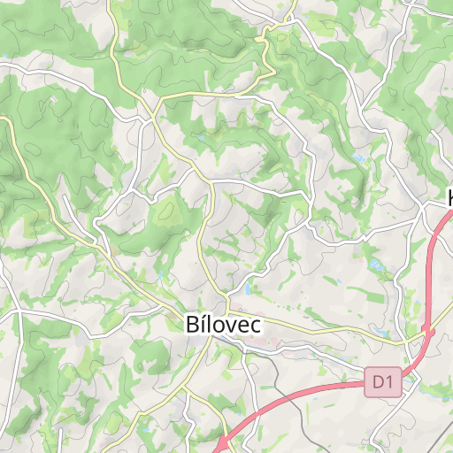
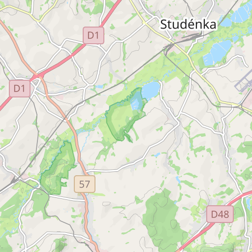
CZ-Tour Tag 5
CYCLISME - ROUTE
Třinec Ostrava rostigekette
Créé le 07/08/2021
0 avis
| 0 photos
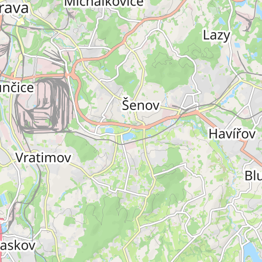
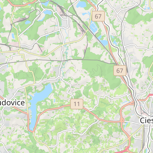
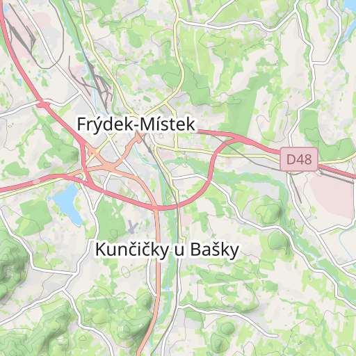
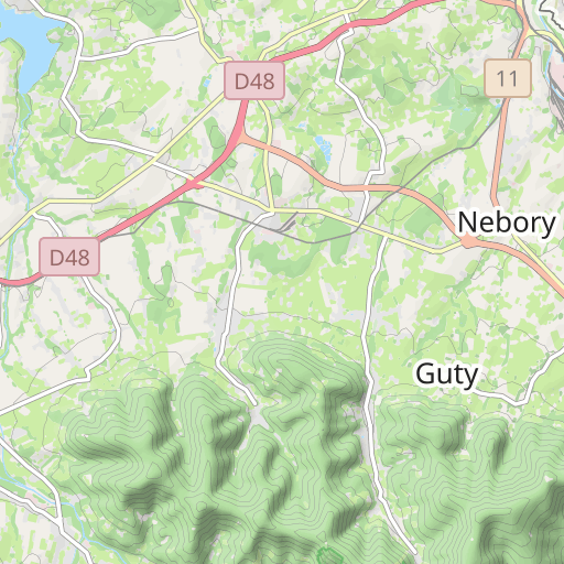
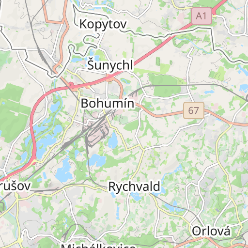
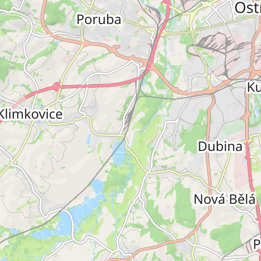
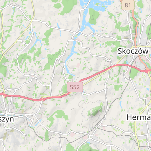
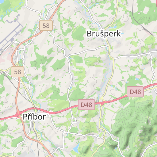
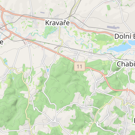
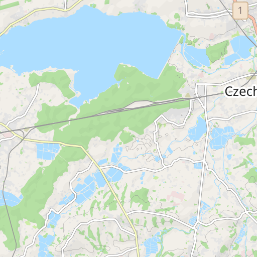
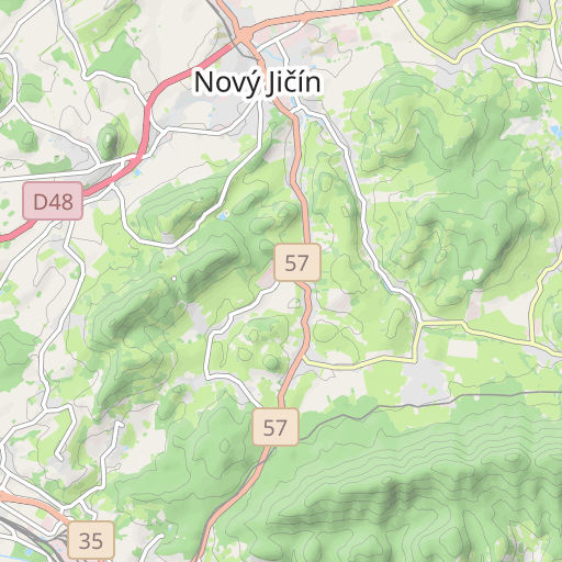
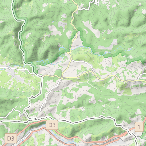
Découvrez ce parcours de vélo de 53,7 km qui débute à Třinec et se termine à Ostrava. Il présente une ascension cumulée de plus de 500m.
Distance
53.75 km
Dénivelé +
505 m
Dénivelé -
630 m
Altitude min.
202 m
Altitude max.
349 m


5 km
Photos du parcours
L'auteur n'a pas encore ajouté de photos à ce parcours
Partagez votre expérience avec des photos prises le long de ce parcours ! Contactez l'auteur pour suggérer vos images et faire vivre cet itinéraire aux autres passionnés.
Mot de l'auteur
L'auteur n'a pas encore ajouté d'informations pour ce parcours
Encouragez-le à rédiger une description sur ce parcours !
Avis des utilisateurs (0)
Vous avez adoré un endroit en particulier ? Pourquoi ne pas partager votre expérience avec les autres ? En laissant un avis, vous pouver aider la communauté OpenRunner à découvrir des endroits incroyables ou à éviter les déceptions. N'hésitez pas à partager votre ressenti, vous pouvez faire la différence !


