Sii la prima persona a lasciare una recensione

#19667483
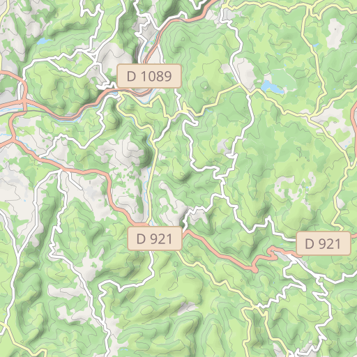
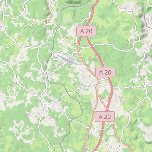
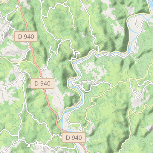
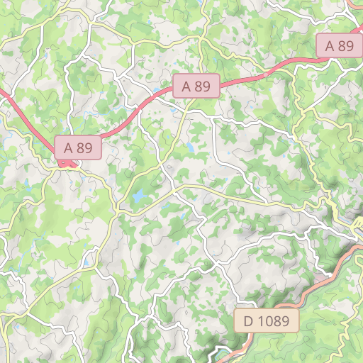
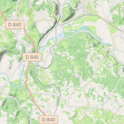
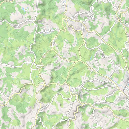
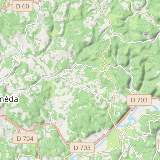
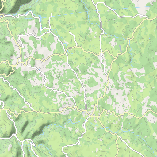
10094 le PlanchatSt BAsil Chauffour La Bertine F
CICLISMO - STRADA
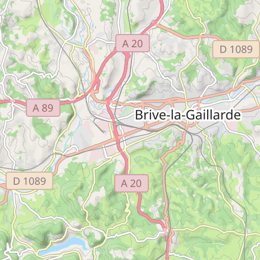
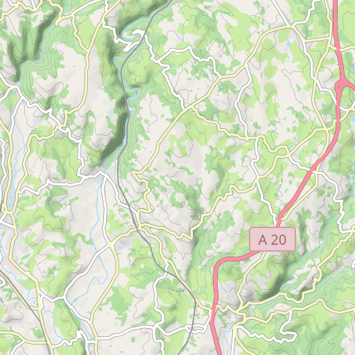
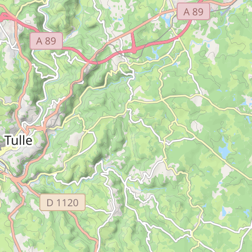
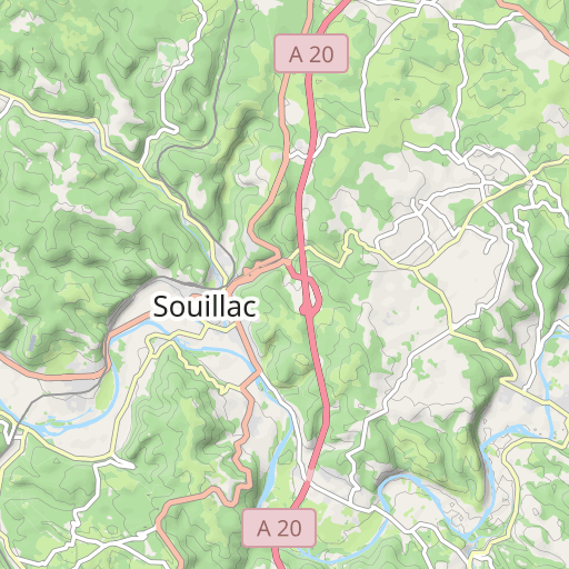
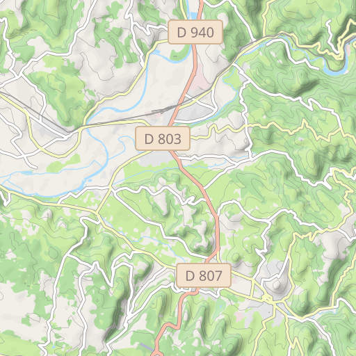
Brive-la-Gaillarde Brive-la-Gaillarde cosnac
Creato il giorno 14/08/2024
0 recensioni
| 0 foto
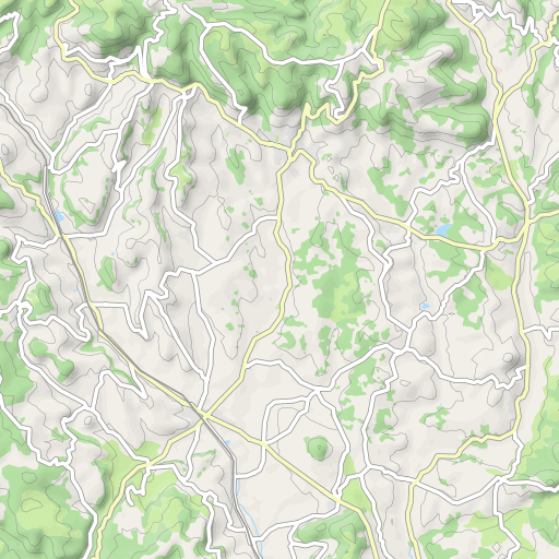
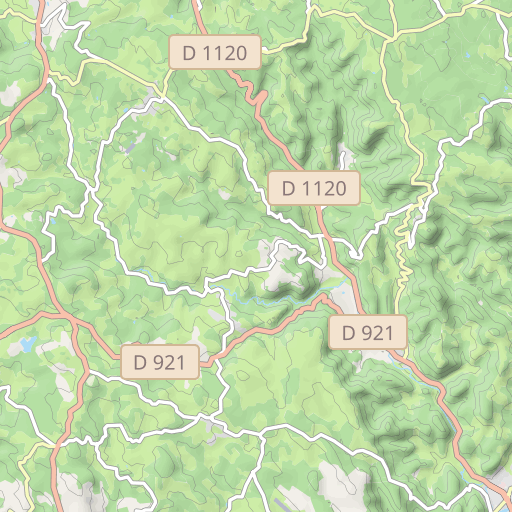
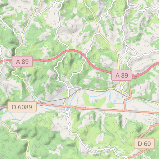
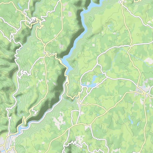
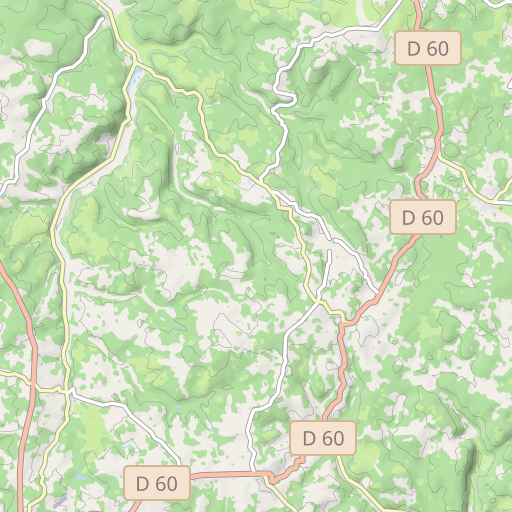
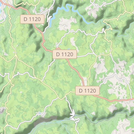
Scopri questo percorso in bicicletta di 60 km vicino a Brive-la-Gaillarde. Questo percorso si snoda esclusivamente su strade. Presenta una salita cumulativa di oltre 710m.
Distanza
60.04 km
Dislivello +
714 m
Dislivello -
714 m
Altitudine min.
110 m
Altitudine max.
389 m

5 km
Foto del percorso
L'autore non ha ancora aggiunto foto a questo percorso
Condividi la tua esperienza con delle foto scattate lungo questo percorso! Contatta l'autore per suggerire le tue immagini e rendere vivo questo itinerario per altri appassionati.
Introduzione dell'autore
L'autore non ha ancora aggiunto informazioni per questo percorso
Incoraggialo a scrivere una descrizione su questo percorso!
Recensioni degli utenti (0)
Ti è piaciuto un posto in particolare? Perché non condividere la tua esperienza con gli altri? Lasciando una recensione, puoi aiutare la comunità OpenRunner a scoprire luoghi incredibili o evitare delusioni. Non esitare a condividere le tue sensazioni, puoi fare la differenza!


