Sii la prima persona a lasciare una recensione

#19264225
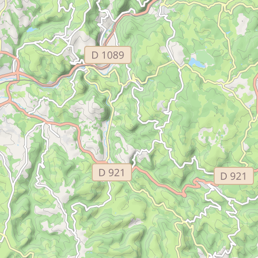
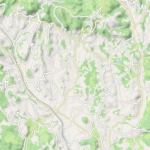
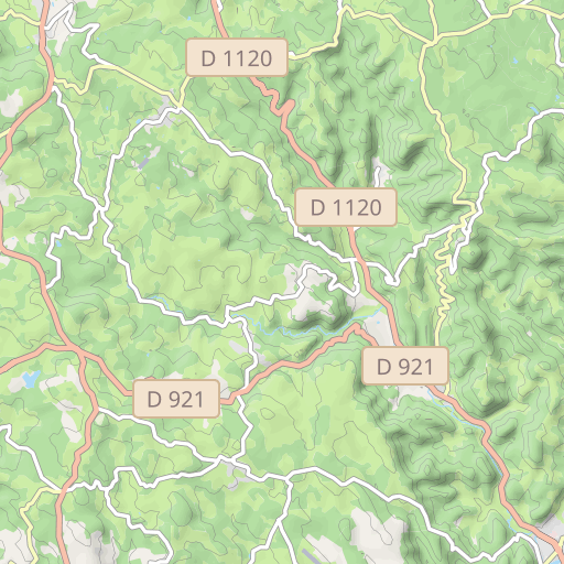
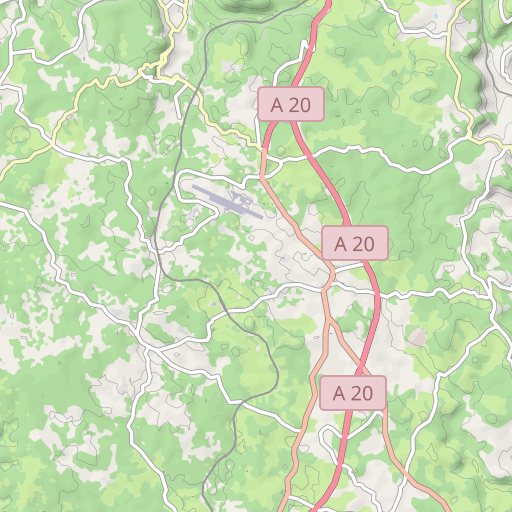
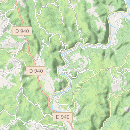
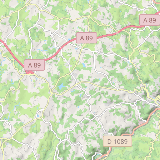
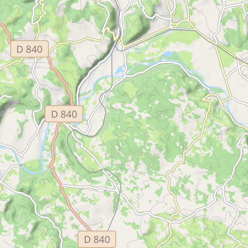
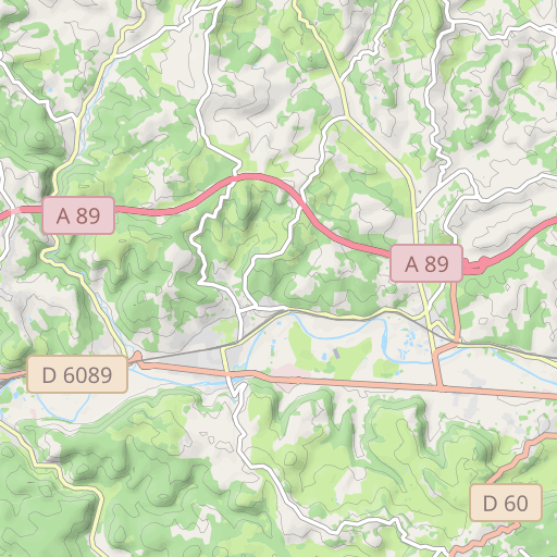
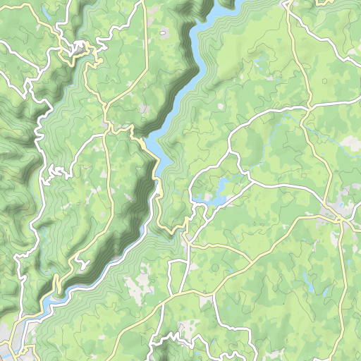
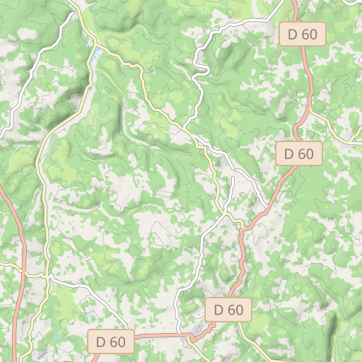
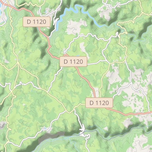
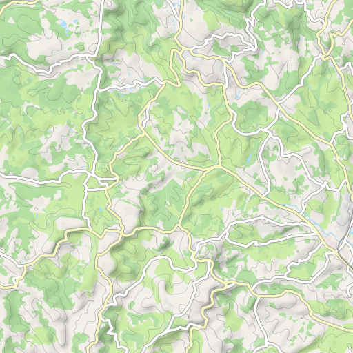
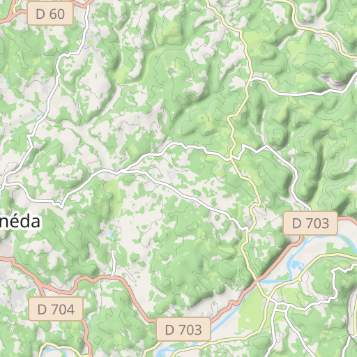
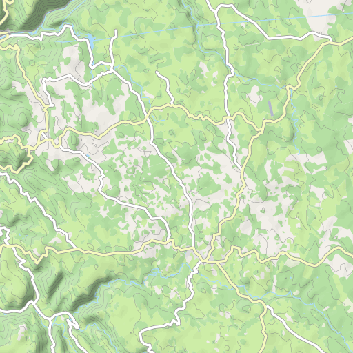
05074 le Planchat Meyssac Valèges Cazillac Branty
CYCLISME - ROUTE
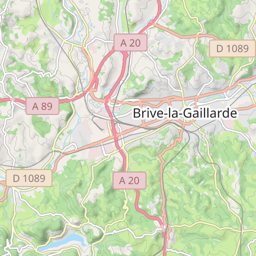
Brive-la-Gaillarde Brive-la-Gaillarde cosnac
Creato il giorno 21/06/2024
0 recensioni
| 0 foto
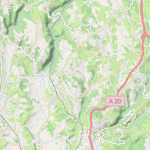
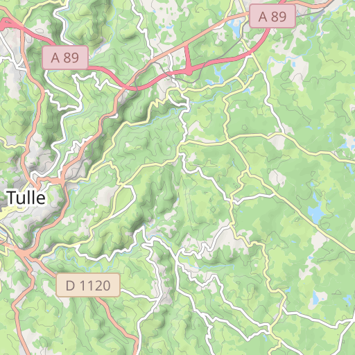
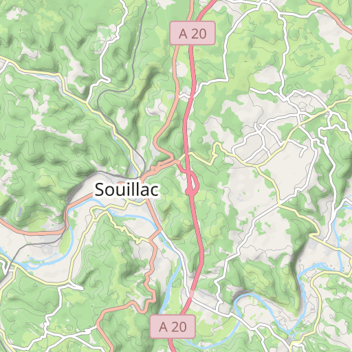
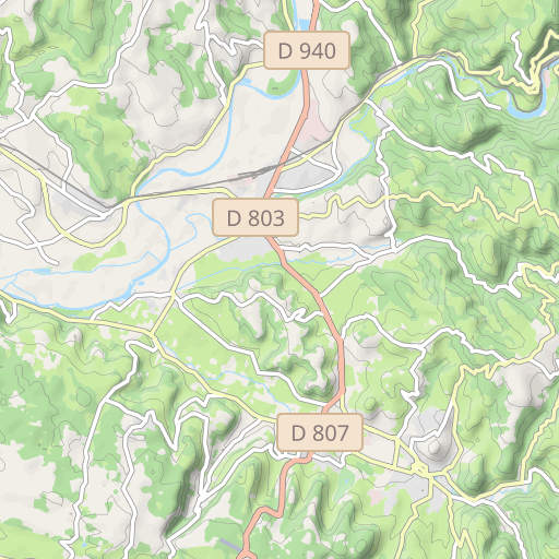
Découvrez ce parcours de vélo de 63,5 km à proximité de Brive-la-Gaillarde. Ce parcours emprunte uniquement des routes. Il présente une ascension cumulée de plus de 750m.
Distanza
63.54 km
Dislivello +
752 m
Dislivello -
751 m
Altitudine min.
110 m
Altitudine max.
406 m

5 km
Foto del percorso
L'autore non ha ancora aggiunto foto a questo percorso
Condividi la tua esperienza con delle foto scattate lungo questo percorso! Contatta l'autore per suggerire le tue immagini e rendere vivo questo itinerario per altri appassionati.
Introduzione dell'autore
L'autore non ha ancora aggiunto informazioni per questo percorso
Incoraggialo a scrivere una descrizione su questo percorso!
Recensioni degli utenti (0)
Ti è piaciuto un posto in particolare? Perché non condividere la tua esperienza con gli altri? Lasciando una recensione, puoi aiutare la comunità OpenRunner a scoprire luoghi incredibili o evitare delusioni. Non esitare a condividere le tue sensazioni, puoi fare la differenza!


