Sii la prima persona a lasciare una recensione

#15229523
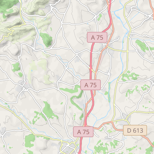
240908 P02 INV N #HERAULT #VIOLS #PIC
CICLISMO - STRADA
Saint-Jean-de-Védas Saint-Jean-de-Védas pignonlibrevedasien
Creato il giorno 28/07/2022
0 recensioni
| 0 foto
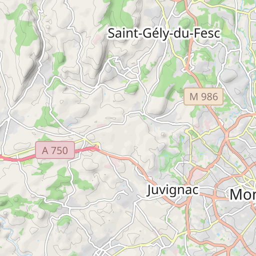
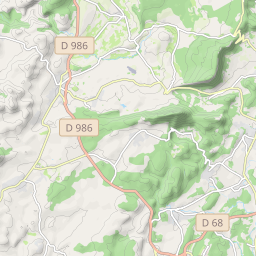
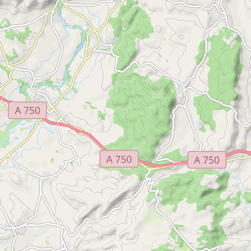
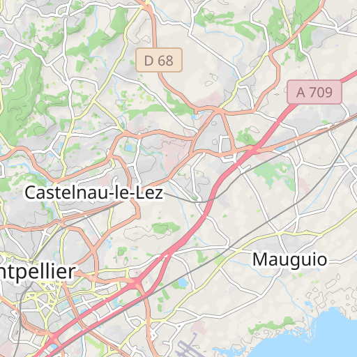
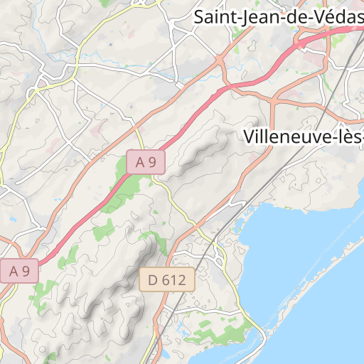
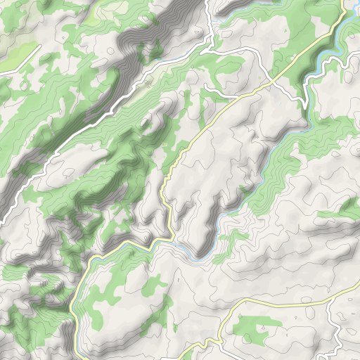
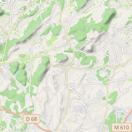
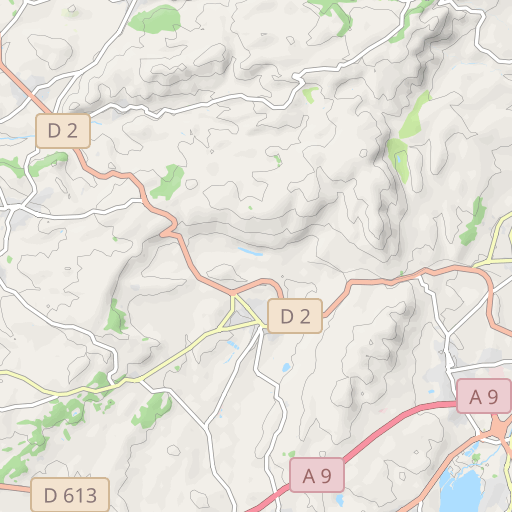
Scopri questo percorso in bicicletta di 90 km vicino a Saint-Jean-de-Védas. Questo percorso si snoda su 85,9 km di strade. Presenta una salita cumulativa di oltre 1090m.
Distanza
89.98 km
Dislivello +
1 099 m
Dislivello -
1 100 m
Altitudine min.
24 m
Altitudine max.
304 m

5 km
Foto del percorso
L'autore non ha ancora aggiunto foto a questo percorso
Condividi la tua esperienza con delle foto scattate lungo questo percorso! Contatta l'autore per suggerire le tue immagini e rendere vivo questo itinerario per altri appassionati.
Introduzione dell'autore
Nota lasciata da
pignonlibrevedasien
Parcours 2 : 90km – 1100 m - 15229523
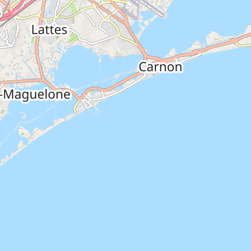
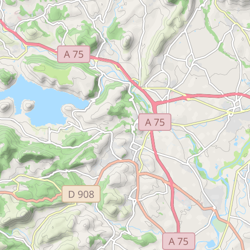
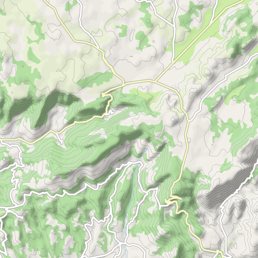
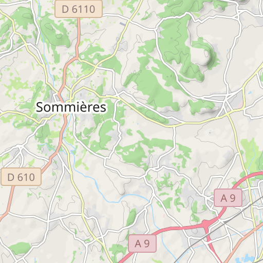
Parcours 2 : St Jean – St Georges – Bel Air – Grabels – St Clément – Source du Lez - Les Matelles – St Jean de Cuculles – Cazevieille – Viols le Fort – Puechabon – Aniane - La Boissière - Montarnaud – Bel Air – St Jean
Recensioni degli utenti (0)
Ti è piaciuto un posto in particolare? Perché non condividere la tua esperienza con gli altri? Lasciando una recensione, puoi aiutare la comunità OpenRunner a scoprire luoghi incredibili o evitare delusioni. Non esitare a condividere le tue sensazioni, puoi fare la differenza!


