Scelto dall'autore
![240515 P02 O INV #PLAINE_HERAULT](/_nuxt/img/town.8a41dac.png)
#12968651
240515 P02 O INV #PLAINE_HERAULT
CICLISMO - STRADA
Saint-Jean-de-Védas Saint-Jean-de-Védas pignonlibrevedasien
Creato il giorno 30/04/2021
0 recensioni
| 0 foto
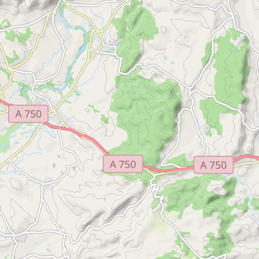
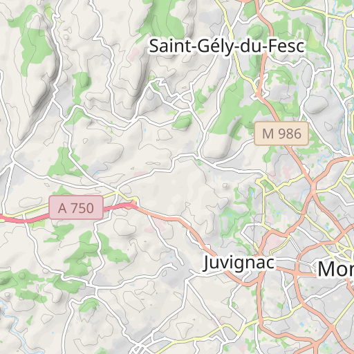
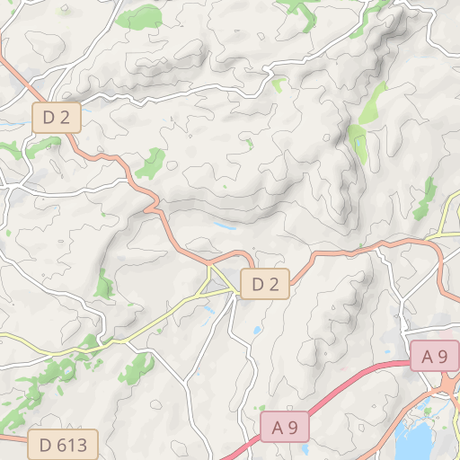
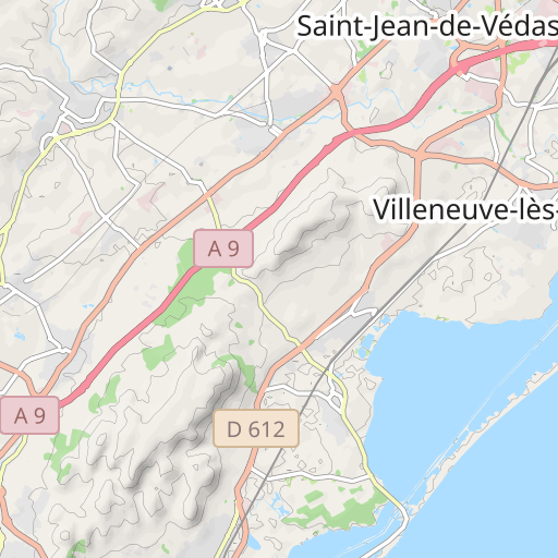
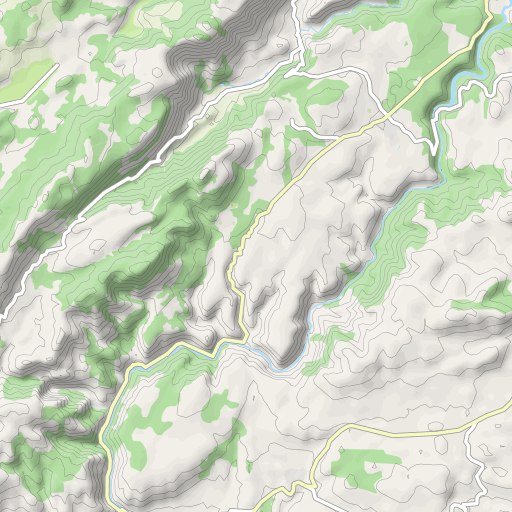
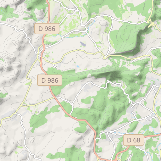
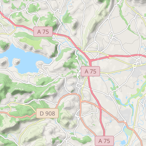
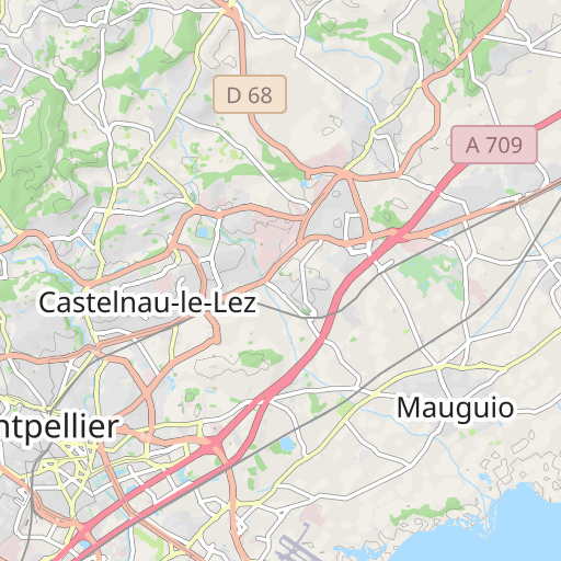
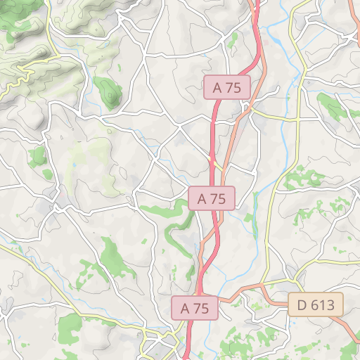
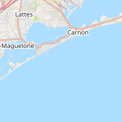
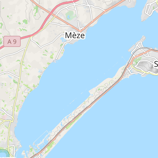
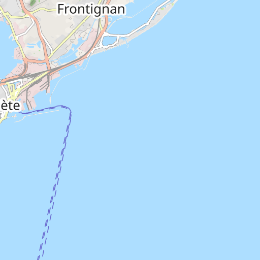
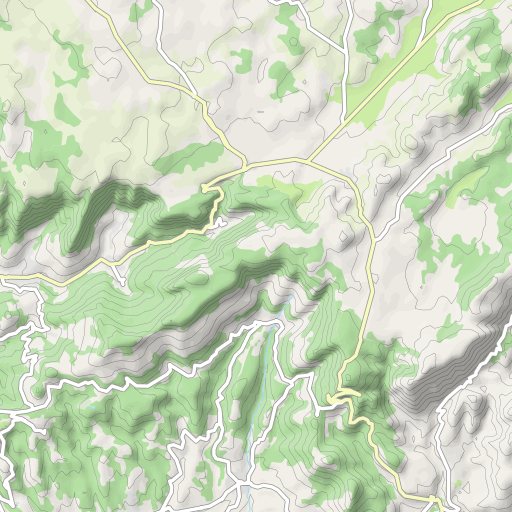
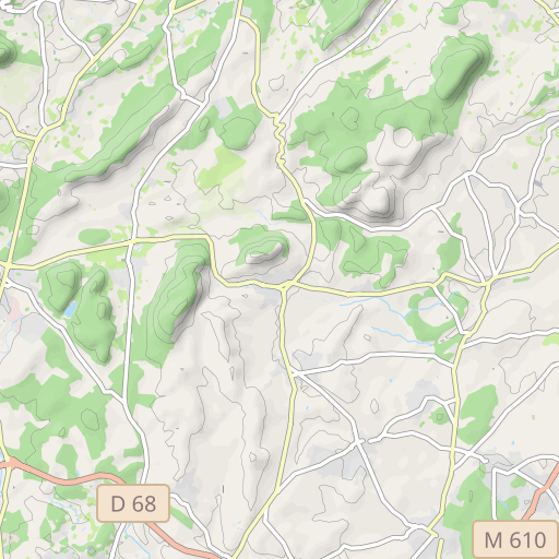
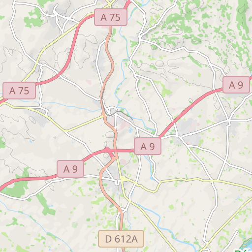
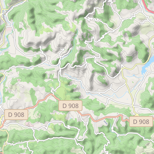
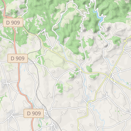
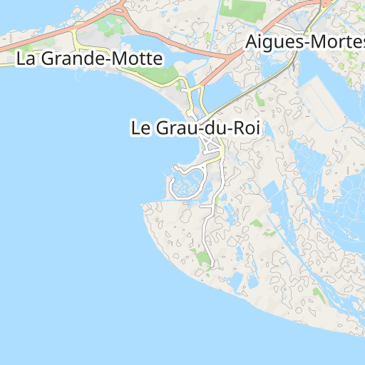
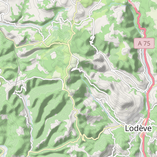
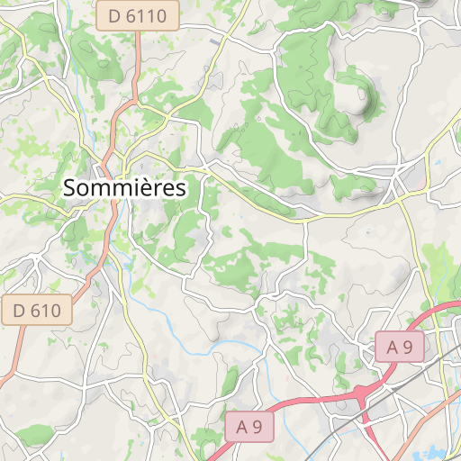
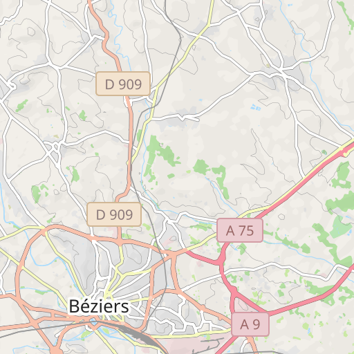
Scopri questo percorso in bicicletta di 91,5 km vicino a Saint-Jean-de-Védas. Questo percorso si snoda su 80,3 km di strade e 11,3 km di piste ciclabili. Presenta una salita cumulativa di oltre 900m.
Distanza
91.54 km
Dislivello +
901 m
Dislivello -
902 m
Altitudine min.
24 m
Altitudine max.
255 m
![](https://tile.thunderforest.com/openrunner-c4e/11/1044/747@2x.png?apikey=43cfba598a6c4bb29b84437d9659f53b)
![](https://tile.thunderforest.com/openrunner-c4e/11/1045/747@2x.png?apikey=43cfba598a6c4bb29b84437d9659f53b)
![](https://tile.thunderforest.com/openrunner-c4e/11/1044/748@2x.png?apikey=43cfba598a6c4bb29b84437d9659f53b)
![](https://tile.thunderforest.com/openrunner-c4e/11/1045/748@2x.png?apikey=43cfba598a6c4bb29b84437d9659f53b)
![](https://tile.thunderforest.com/openrunner-c4e/11/1044/746@2x.png?apikey=43cfba598a6c4bb29b84437d9659f53b)
![](https://tile.thunderforest.com/openrunner-c4e/11/1045/746@2x.png?apikey=43cfba598a6c4bb29b84437d9659f53b)
![](https://tile.thunderforest.com/openrunner-c4e/11/1043/747@2x.png?apikey=43cfba598a6c4bb29b84437d9659f53b)
![](https://tile.thunderforest.com/openrunner-c4e/11/1046/747@2x.png?apikey=43cfba598a6c4bb29b84437d9659f53b)
![](https://tile.thunderforest.com/openrunner-c4e/11/1043/748@2x.png?apikey=43cfba598a6c4bb29b84437d9659f53b)
![](https://tile.thunderforest.com/openrunner-c4e/11/1046/748@2x.png?apikey=43cfba598a6c4bb29b84437d9659f53b)
![](https://tile.thunderforest.com/openrunner-c4e/11/1044/749@2x.png?apikey=43cfba598a6c4bb29b84437d9659f53b)
![](https://tile.thunderforest.com/openrunner-c4e/11/1045/749@2x.png?apikey=43cfba598a6c4bb29b84437d9659f53b)
![](https://tile.thunderforest.com/openrunner-c4e/11/1043/746@2x.png?apikey=43cfba598a6c4bb29b84437d9659f53b)
![](https://tile.thunderforest.com/openrunner-c4e/11/1046/746@2x.png?apikey=43cfba598a6c4bb29b84437d9659f53b)
![](https://tile.thunderforest.com/openrunner-c4e/11/1043/749@2x.png?apikey=43cfba598a6c4bb29b84437d9659f53b)
![](https://tile.thunderforest.com/openrunner-c4e/11/1046/749@2x.png?apikey=43cfba598a6c4bb29b84437d9659f53b)
![](https://tile.thunderforest.com/openrunner-c4e/11/1042/747@2x.png?apikey=43cfba598a6c4bb29b84437d9659f53b)
![](https://tile.thunderforest.com/openrunner-c4e/11/1047/747@2x.png?apikey=43cfba598a6c4bb29b84437d9659f53b)
![](https://tile.thunderforest.com/openrunner-c4e/11/1042/748@2x.png?apikey=43cfba598a6c4bb29b84437d9659f53b)
![](https://tile.thunderforest.com/openrunner-c4e/11/1047/748@2x.png?apikey=43cfba598a6c4bb29b84437d9659f53b)
![](https://tile.thunderforest.com/openrunner-c4e/11/1042/746@2x.png?apikey=43cfba598a6c4bb29b84437d9659f53b)
![](https://tile.thunderforest.com/openrunner-c4e/11/1047/746@2x.png?apikey=43cfba598a6c4bb29b84437d9659f53b)
![](https://tile.thunderforest.com/openrunner-c4e/11/1042/749@2x.png?apikey=43cfba598a6c4bb29b84437d9659f53b)
![](https://tile.thunderforest.com/openrunner-c4e/11/1047/749@2x.png?apikey=43cfba598a6c4bb29b84437d9659f53b)
5 km
Foto del percorso
L'autore non ha ancora aggiunto foto a questo percorso
Condividi la tua esperienza con delle foto scattate lungo questo percorso! Contatta l'autore per suggerire le tue immagini e rendere vivo questo itinerario per altri appassionati.
Introduzione dell'autore
Nota lasciata da
pignonlibrevedasien
Parcours 2 : 91km - 901m - 12968651 Parcours 2 : St Jean - St Georges - Bel Air - Montarnaud - Argelliers - Puéchabon - Gignac - Pouzols - Le Pouget - Plaissan - Villeveyrac - Montbazin - Cournonterral - Pignan - St Jean
Recensioni degli utenti (0)
Ti è piaciuto un posto in particolare? Perché non condividere la tua esperienza con gli altri? Lasciando una recensione, puoi aiutare la comunità OpenRunner a scoprire luoghi incredibili o evitare delusioni. Non esitare a condividere le tue sensazioni, puoi fare la differenza!