Prestado por el autor
![240515 P02 O INV #PLAINE_HERAULT](/_nuxt/img/town.8a41dac.png)
#12968651
240515 P02 O INV #PLAINE_HERAULT
CICLISMO - CARRETERA
Saint-Jean-de-Védas Saint-Jean-de-Védas pignonlibrevedasien
Creado el 30/4/2021
0 opiniones
| 0 fotos
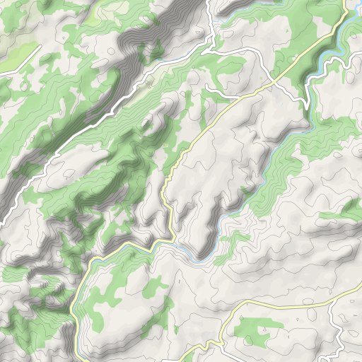
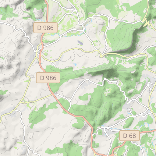
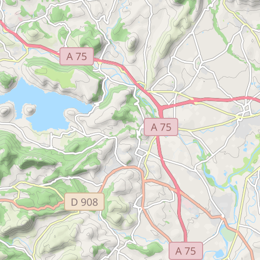
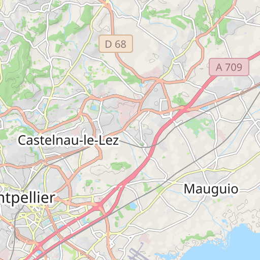
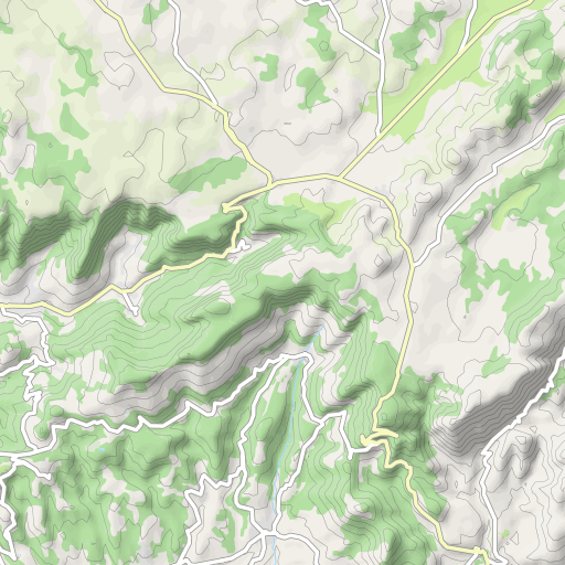
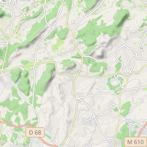
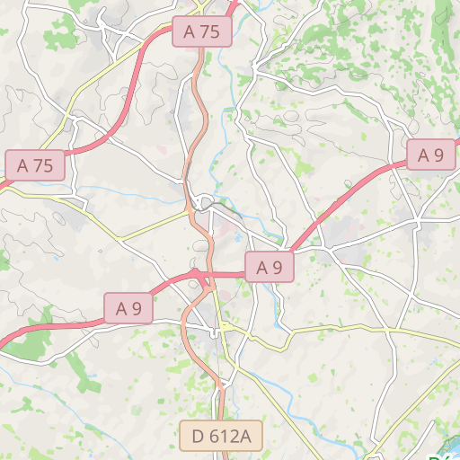
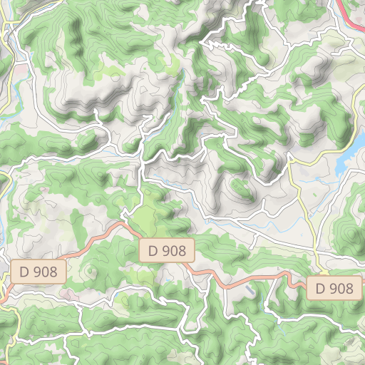
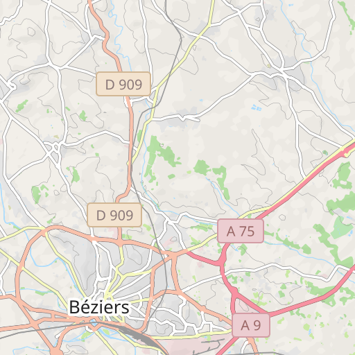
Descubre este recorrido de bicicleta de 91,5 km cerca de Saint-Jean-de-Védas. Este recorrido transcurre durante 80,3 km por carreteras y 11,3 km por pistas ciclables. Presenta un desnivel acumulado de más de 900m.
Distancia
91.54 km
Desnivel +
901 m
Desnivel -
902 m
Altitud mín.
24 m
Altitud máx.
255 m
![](https://tile.thunderforest.com/openrunner-c4e/11/1044/747@2x.png?apikey=43cfba598a6c4bb29b84437d9659f53b)
![](https://tile.thunderforest.com/openrunner-c4e/11/1045/747@2x.png?apikey=43cfba598a6c4bb29b84437d9659f53b)
![](https://tile.thunderforest.com/openrunner-c4e/11/1044/748@2x.png?apikey=43cfba598a6c4bb29b84437d9659f53b)
![](https://tile.thunderforest.com/openrunner-c4e/11/1045/748@2x.png?apikey=43cfba598a6c4bb29b84437d9659f53b)
![](https://tile.thunderforest.com/openrunner-c4e/11/1044/746@2x.png?apikey=43cfba598a6c4bb29b84437d9659f53b)
![](https://tile.thunderforest.com/openrunner-c4e/11/1045/746@2x.png?apikey=43cfba598a6c4bb29b84437d9659f53b)
![](https://tile.thunderforest.com/openrunner-c4e/11/1043/747@2x.png?apikey=43cfba598a6c4bb29b84437d9659f53b)
![](https://tile.thunderforest.com/openrunner-c4e/11/1046/747@2x.png?apikey=43cfba598a6c4bb29b84437d9659f53b)
![](https://tile.thunderforest.com/openrunner-c4e/11/1043/748@2x.png?apikey=43cfba598a6c4bb29b84437d9659f53b)
![](https://tile.thunderforest.com/openrunner-c4e/11/1046/748@2x.png?apikey=43cfba598a6c4bb29b84437d9659f53b)
![](https://tile.thunderforest.com/openrunner-c4e/11/1044/749@2x.png?apikey=43cfba598a6c4bb29b84437d9659f53b)
![](https://tile.thunderforest.com/openrunner-c4e/11/1045/749@2x.png?apikey=43cfba598a6c4bb29b84437d9659f53b)
![](https://tile.thunderforest.com/openrunner-c4e/11/1043/746@2x.png?apikey=43cfba598a6c4bb29b84437d9659f53b)
![](https://tile.thunderforest.com/openrunner-c4e/11/1046/746@2x.png?apikey=43cfba598a6c4bb29b84437d9659f53b)
![](https://tile.thunderforest.com/openrunner-c4e/11/1043/749@2x.png?apikey=43cfba598a6c4bb29b84437d9659f53b)
![](https://tile.thunderforest.com/openrunner-c4e/11/1046/749@2x.png?apikey=43cfba598a6c4bb29b84437d9659f53b)
![](https://tile.thunderforest.com/openrunner-c4e/11/1042/747@2x.png?apikey=43cfba598a6c4bb29b84437d9659f53b)
![](https://tile.thunderforest.com/openrunner-c4e/11/1047/747@2x.png?apikey=43cfba598a6c4bb29b84437d9659f53b)
![](https://tile.thunderforest.com/openrunner-c4e/11/1042/748@2x.png?apikey=43cfba598a6c4bb29b84437d9659f53b)
![](https://tile.thunderforest.com/openrunner-c4e/11/1047/748@2x.png?apikey=43cfba598a6c4bb29b84437d9659f53b)
![](https://tile.thunderforest.com/openrunner-c4e/11/1042/746@2x.png?apikey=43cfba598a6c4bb29b84437d9659f53b)
![](https://tile.thunderforest.com/openrunner-c4e/11/1047/746@2x.png?apikey=43cfba598a6c4bb29b84437d9659f53b)
![](https://tile.thunderforest.com/openrunner-c4e/11/1042/749@2x.png?apikey=43cfba598a6c4bb29b84437d9659f53b)
![](https://tile.thunderforest.com/openrunner-c4e/11/1047/749@2x.png?apikey=43cfba598a6c4bb29b84437d9659f53b)
5 km
Fotos del recorrido
El autor aún no ha añadido fotos a este recorrido
¡Comparte tu experiencia con fotos tomadas a lo largo de este recorrido! Ponte en contacto con el autor para sugerir tus imágenes y hacer que otros disfruten de esta ruta.
Unas palabras del autor
Nota dejada por
pignonlibrevedasien
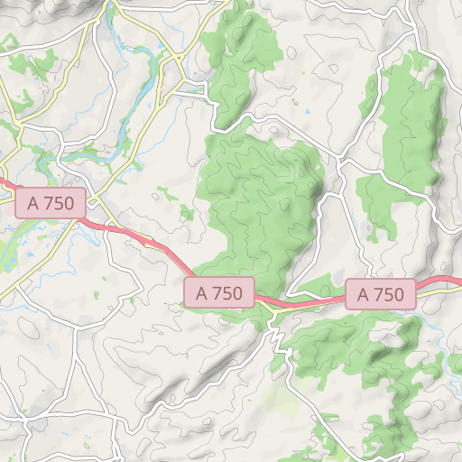
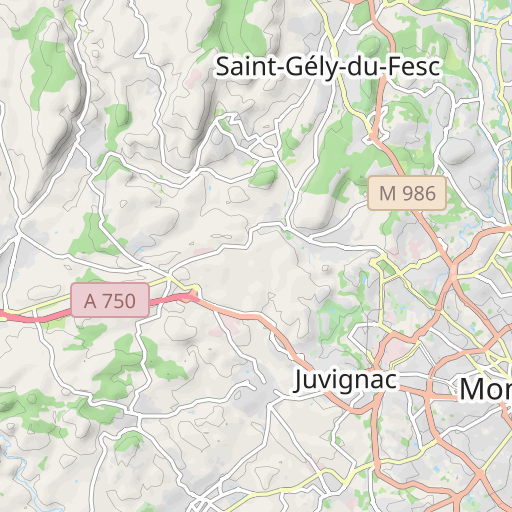
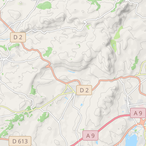
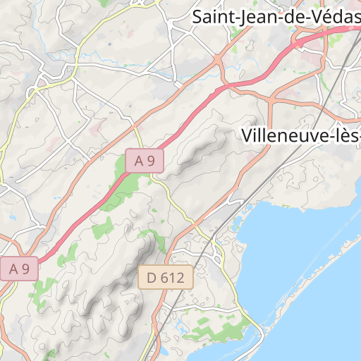
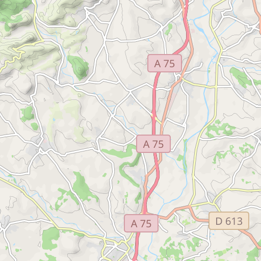
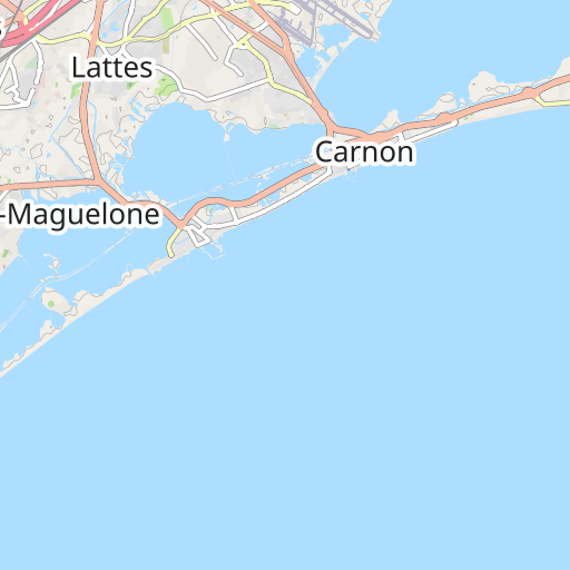
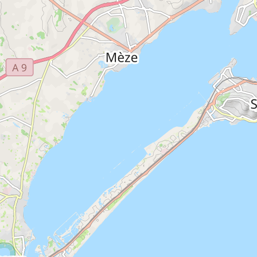
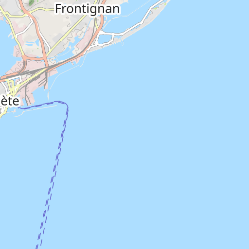
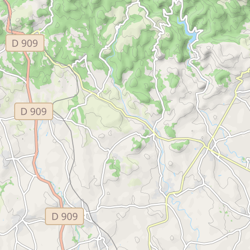
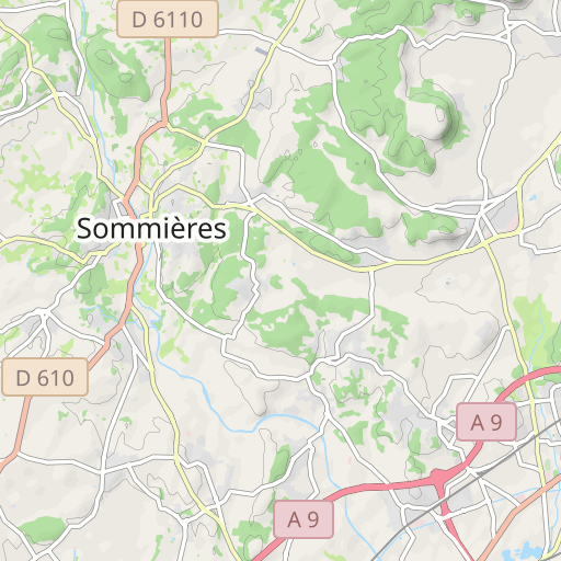
Parcours 2 : 91km - 901m - 12968651 Parcours 2 : St Jean - St Georges - Bel Air - Montarnaud - Argelliers - Puéchabon - Gignac - Pouzols - Le Pouget - Plaissan - Villeveyrac - Montbazin - Cournonterral - Pignan - St Jean
Opiniones de los usuarios (0)
¿Te ha gustado algún lugar en particular? ¿Por qué no compartir tu experiencia con los demás? Al dejar una opinión, puedes ayudar a la comunidad OpenRunner a descubrir lugares increíbles o evitar decepciones. No dudes en compartir tus sentimientos, ¡puedes marcar la diferencia!