Be the first to leave a review

#9860940
2019 Randonnees de la Malmaison (Totale)
BICICLETTA DA VIAGGIO
Saint-Nom-la-Bretêche Saint-Nom-la-Bretêche michelangelo
Created on 4/23/2019
0 reviews
| 0 photos
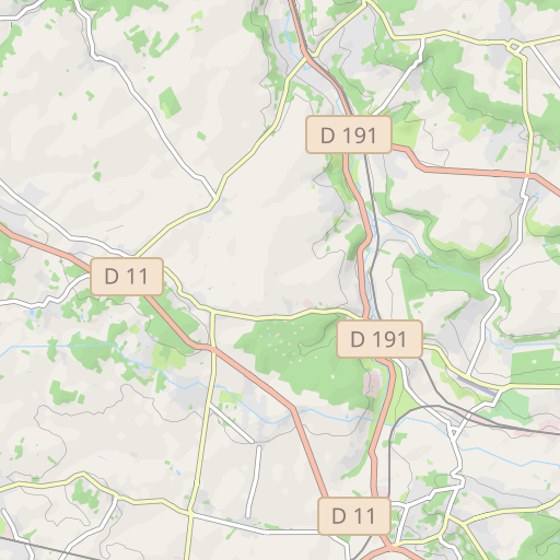
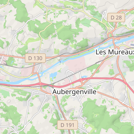
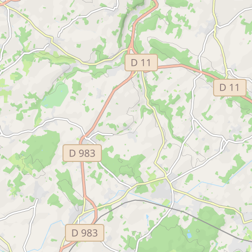
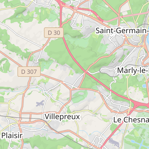
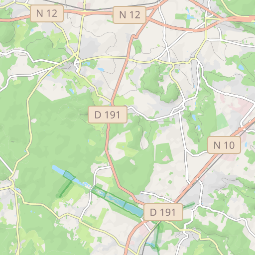
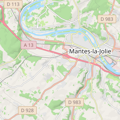
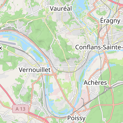
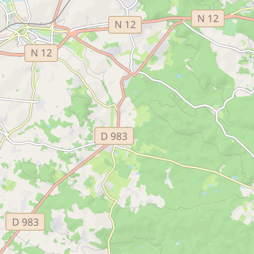
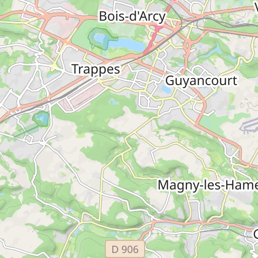
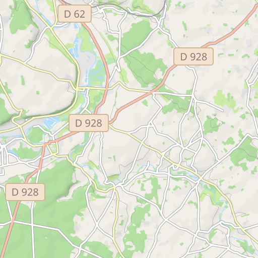
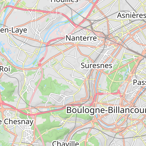
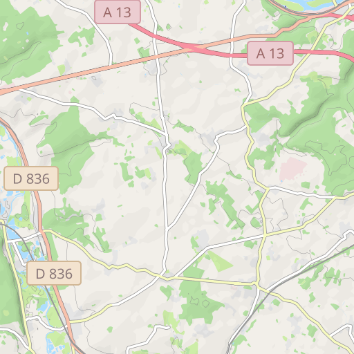
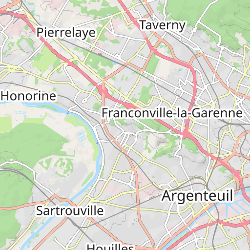
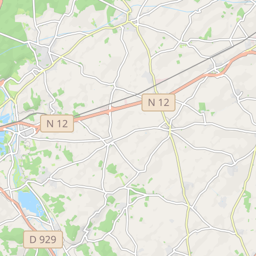
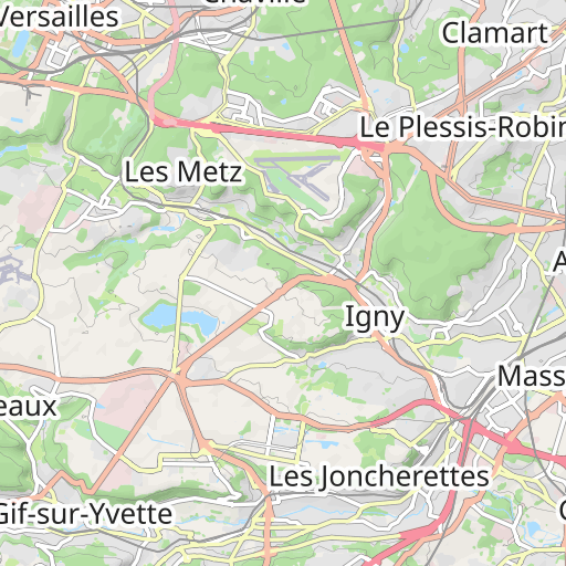
Scopri questo percorso in bicicletta di 268,5 km vicino a Saint-Nom-la-Bretêche. Presenta una salita cumulativa di oltre 2220m.
Distance
268.47 km
Ascent
2 226 m
Descent
2 181 m
Min. altitude
33 m
Max. altitude
189 m
5 km
Route photos
The author has not added any photos to this route yet
Share your experience with photos taken along this route! Contact the author to suggest your images and bring this route to life for other enthusiasts.
A word from the author
Rating left by
michelangelo
Trace à charger si l'on veut avoir les quatre parcours sur son GPS. Pour le calcul de la distance à parcourir, ce trajet parcourt successivement les parcours Noir, puis Rouge, puis Bleu, et enfin Vert. Il se recale en distance à parcourir sur les tronçons exclusifs où le doute n'est pas permis, même à un Garmin pas très malin.
User reviews (0)
Did you love one place in particular? Why not share your experience with others? By leaving a review, you can help the OpenRunner community discover incredible places or avoid disappointments. Do not hesitate to share your feelings, you can make a difference!


