Borrowed by the author

#9832192
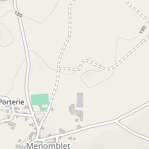
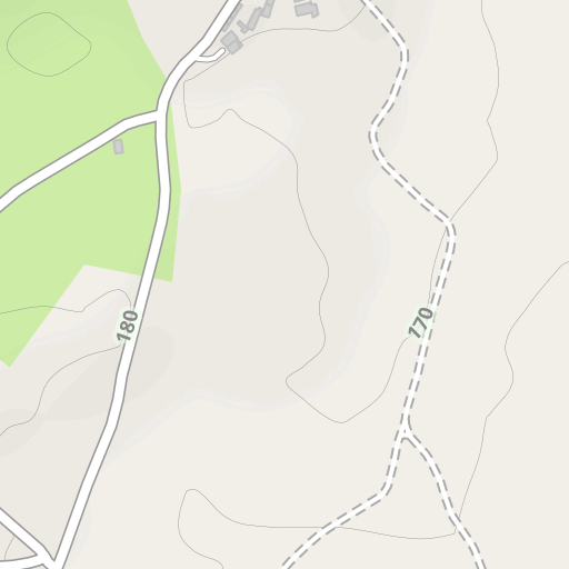
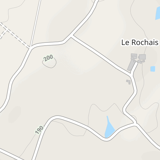
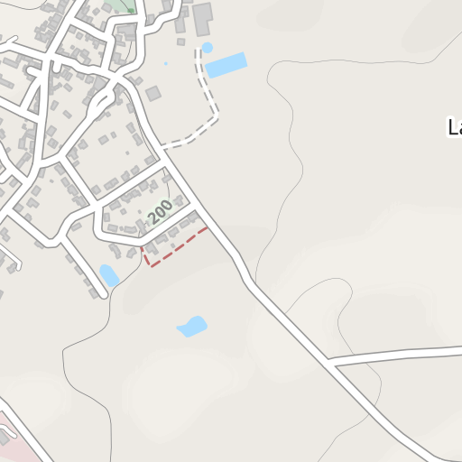
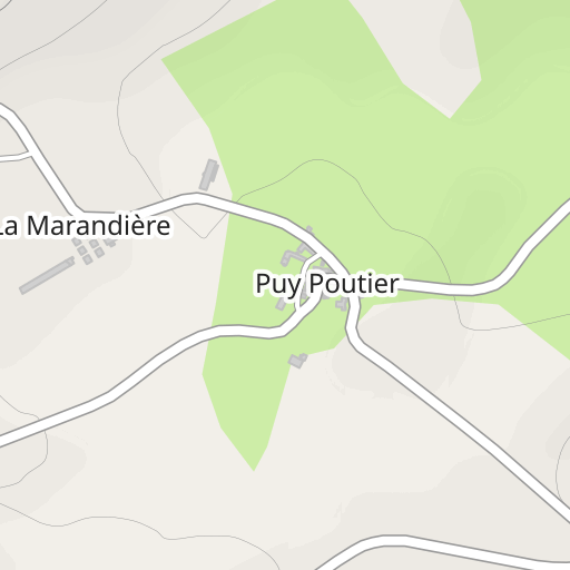
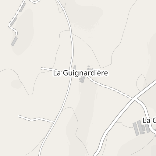
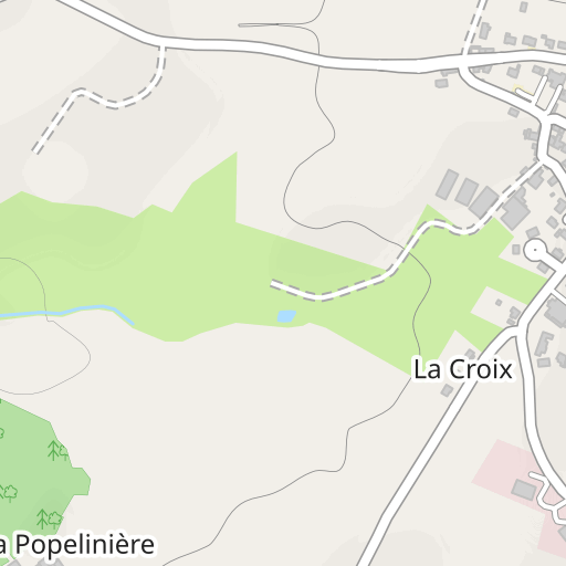
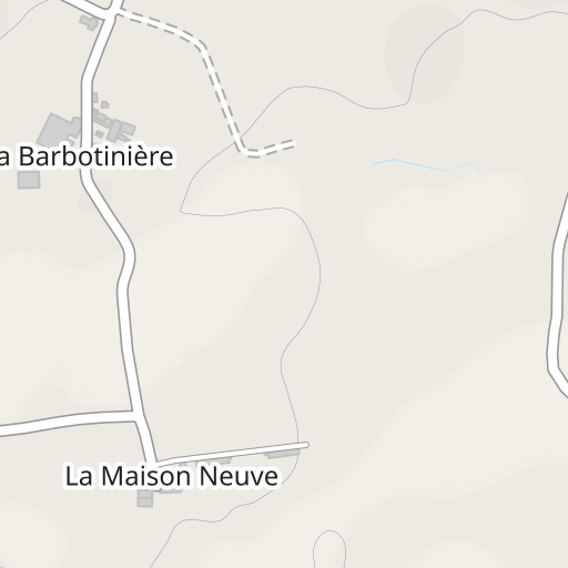
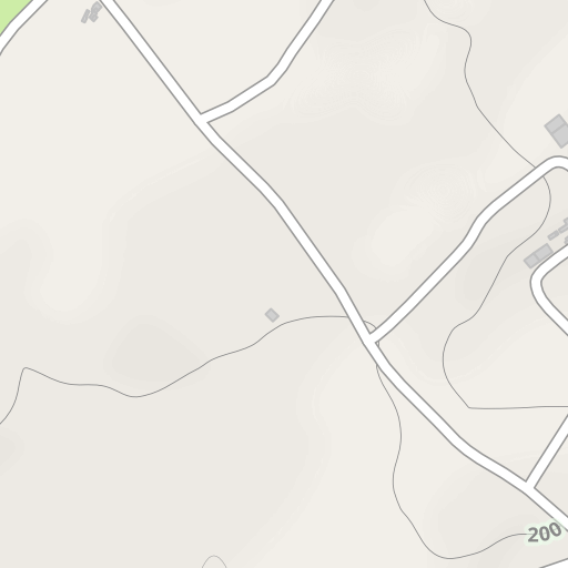
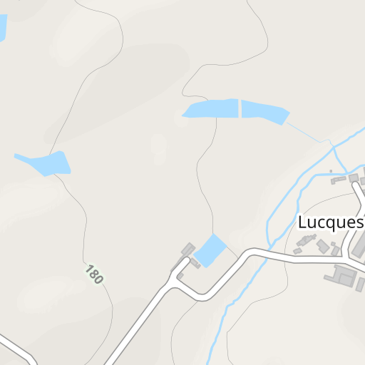
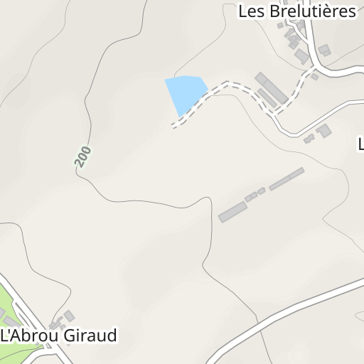
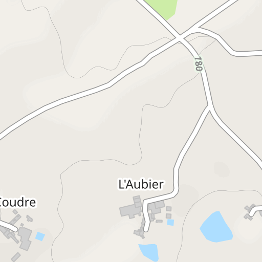
Sentier officiel N°1 Variante
HIKING
Menomblet Menomblet Anonymous
Created on 4/17/2019
4.0 0 reviews
| 0 photos
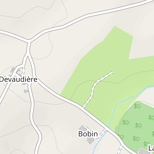
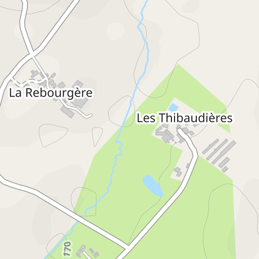
Discover this 4.8 km hiking route near Menomblet. Allow about 1 hour and 15 minutes to complete this route.
Distance
4.81 km
Ascent
37 m
Descent
37 m
Min. altitude
174 m
Max. altitude
206 m

300 m
Route photos
The author has not added any photos to this route yet
Share your experience with photos taken along this route! Contact the author to suggest your images and bring this route to life for other enthusiasts.
A word from the author
Rating left by
Anonymous
Sentier Officiel de la commune de Menomblet
User reviews (0)
Did you love one place in particular? Why not share your experience with others? By leaving a review, you can help the OpenRunner community discover incredible places or avoid disappointments. Do not hesitate to share your feelings, you can make a difference!


