Be the first to leave a review

#7529757
01-Shikoku
HIKING
Kaneyoshi Tsudachō shanxou
Created on 6/13/2017
0 reviews
| 0 photos
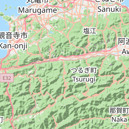
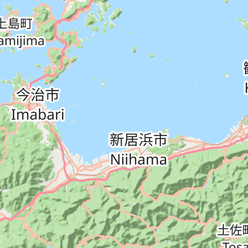
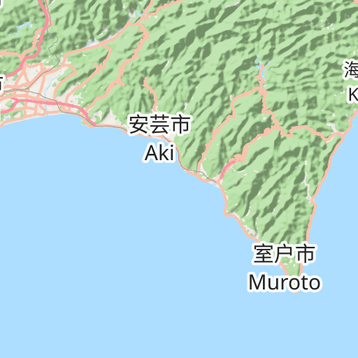
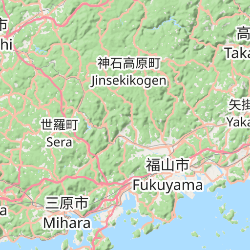
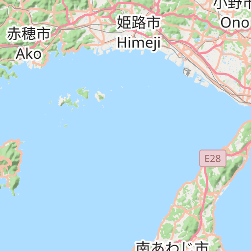
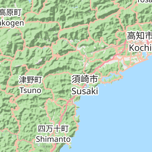
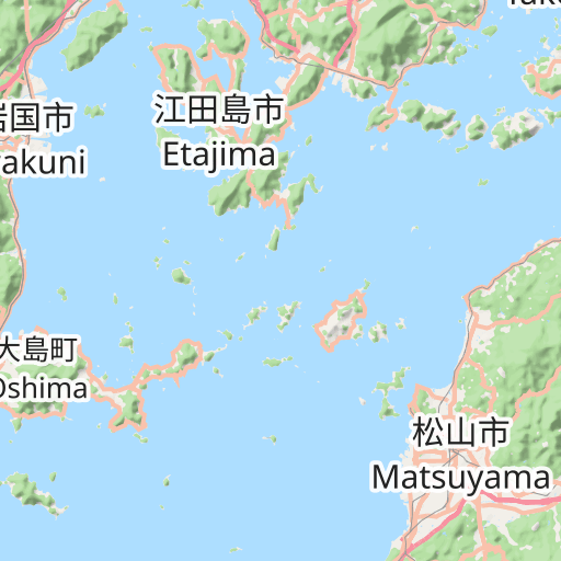
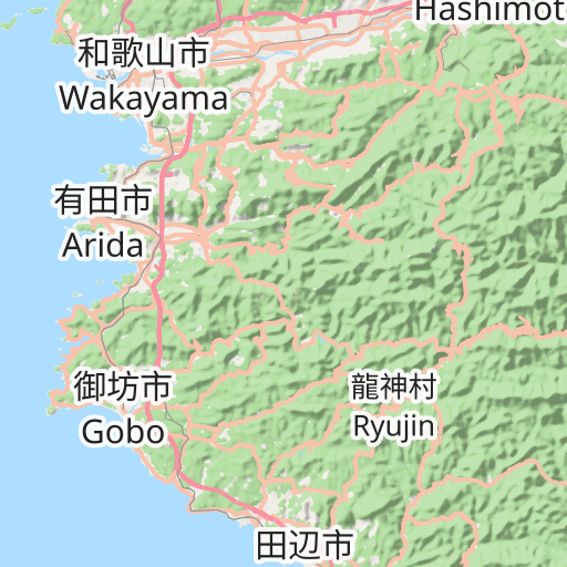
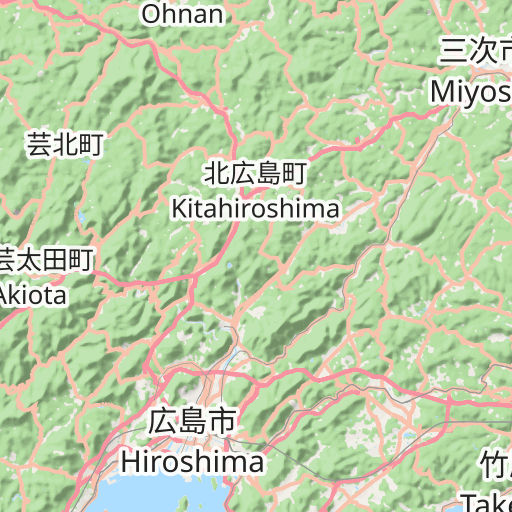
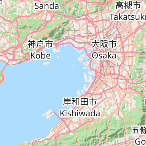
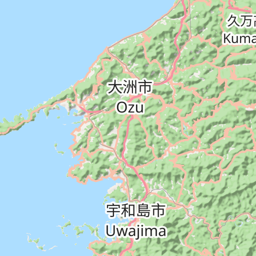
Discover this 435.2 km hiking route that starts in Kaneyoshi and ends in Tsudachō. It has a cumulative ascent of more than 6460m. Allow about 5 days and 6 hours to complete this route.
Distance
435.18 km
Ascent
6 468 m
Descent
6 472 m
Min. altitude
0 m
Max. altitude
1 506 m


20 km
Route photos
The author has not added any photos to this route yet
Share your experience with photos taken along this route! Contact the author to suggest your images and bring this route to life for other enthusiasts.
A word from the author
The author has not added any information for this route yet
Encourage them to write a description of this route!
User reviews (0)
Did you love one place in particular? Why not share your experience with others? By leaving a review, you can help the OpenRunner community discover incredible places or avoid disappointments. Do not hesitate to share your feelings, you can make a difference!


