Be the first to leave a review

#749601
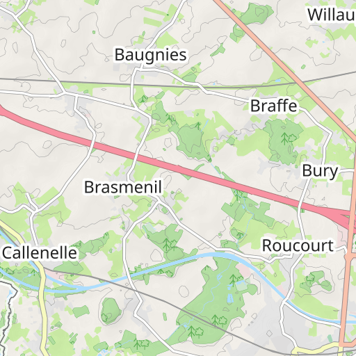
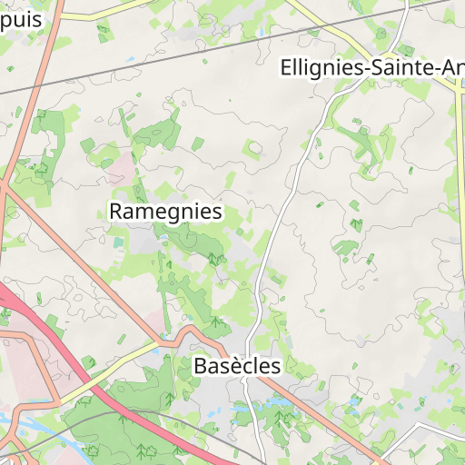
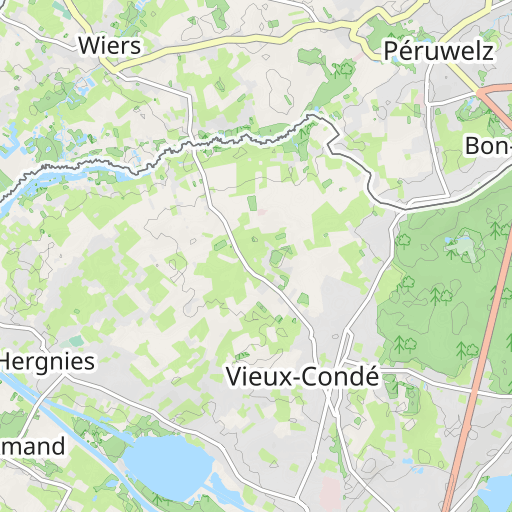
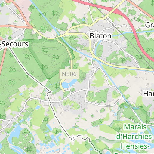
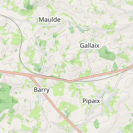
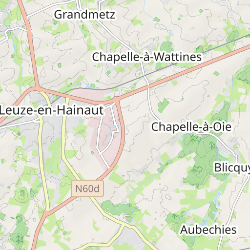
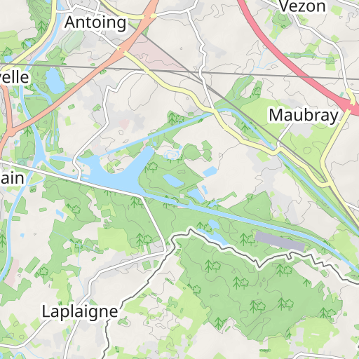
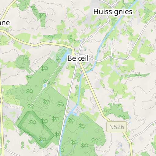
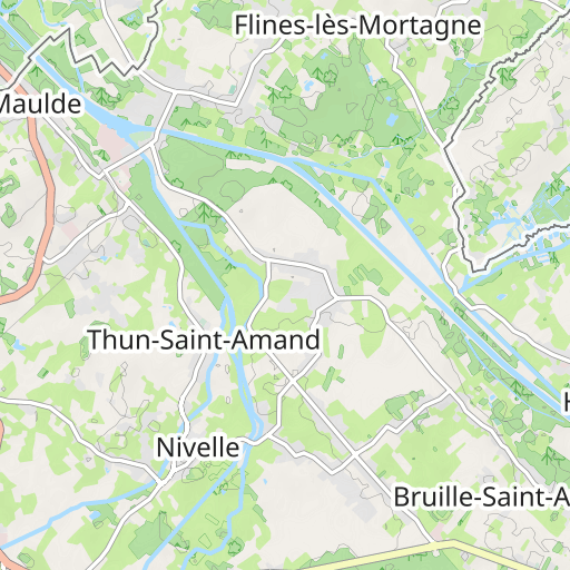
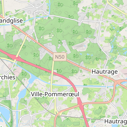
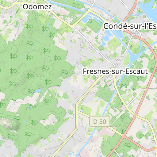
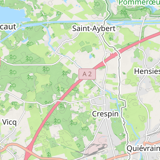
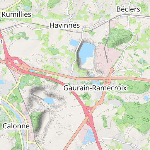
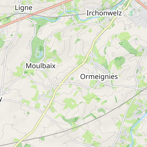
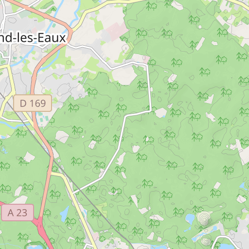
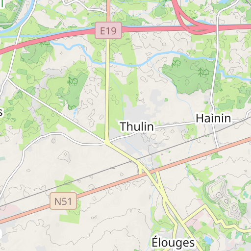
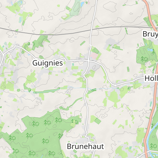
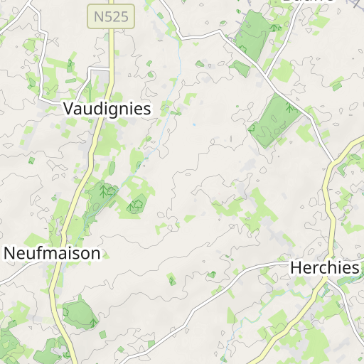
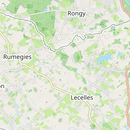
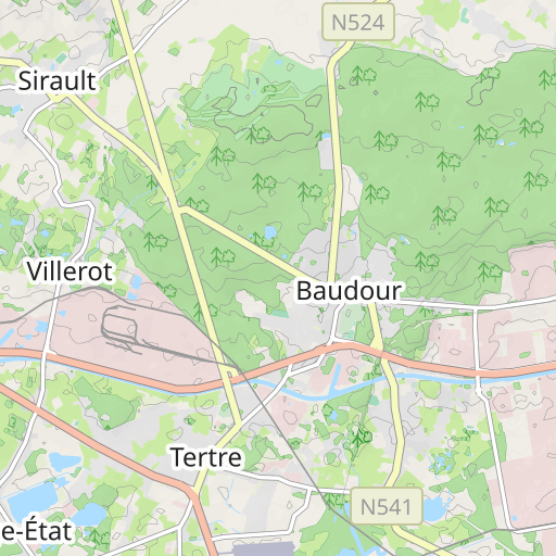
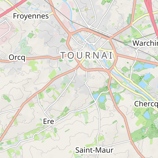
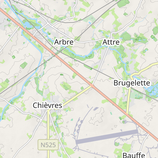
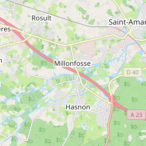
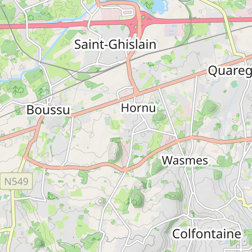
Antoing-Hautrage
ROAD CYCLING
Antoing Antoing hubert_d
Created on 10/27/2010
0 reviews
| 0 photos
Discover this 94.6 km bike route near Antoing. It has a cumulative ascent of more than 370m.
Distance
94.62 km
Ascent
372 m
Descent
371 m
Min. altitude
19 m
Max. altitude
95 m
3 km
Route photos
The author has not added any photos to this route yet
Share your experience with photos taken along this route! Contact the author to suggest your images and bring this route to life for other enthusiasts.
A word from the author
Rating left by
hubert_d
      <p>
	Quelques détours et quelques chemins empruntés ! </p>
<p>
	Photos : http://picasaweb.google.com/hbt.cht/SudEstDeTournaiDAntoingAHaufrage#</p>
User reviews (0)
Did you love one place in particular? Why not share your experience with others? By leaving a review, you can help the OpenRunner community discover incredible places or avoid disappointments. Do not hesitate to share your feelings, you can make a difference!


