Borrowed by the author

#6807079
Ris-Orangis 25-11-2016
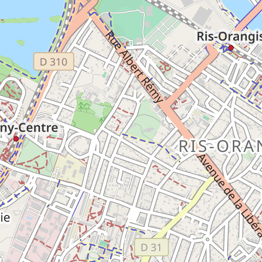
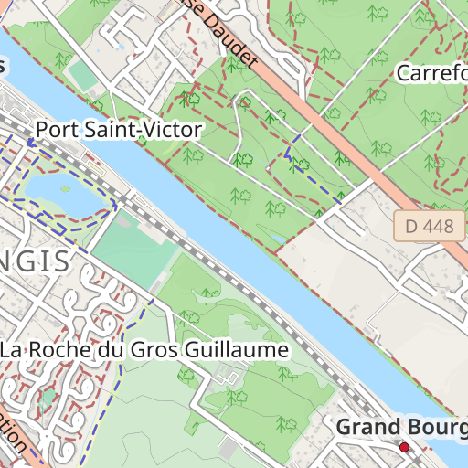
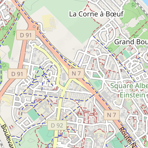
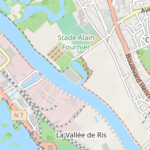
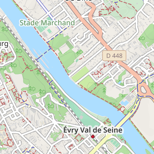
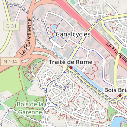
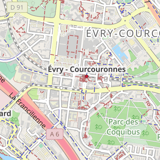
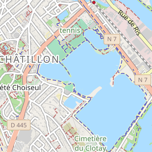
HIKING
Ris-Orangis Ris-Orangis randoris
Created on 11/25/2016
0 reviews
| 0 photos
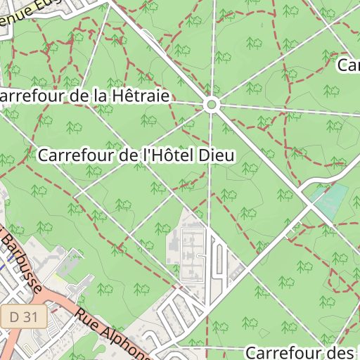
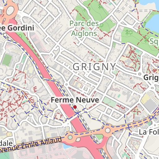
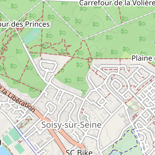
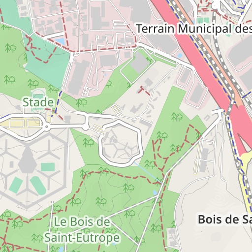
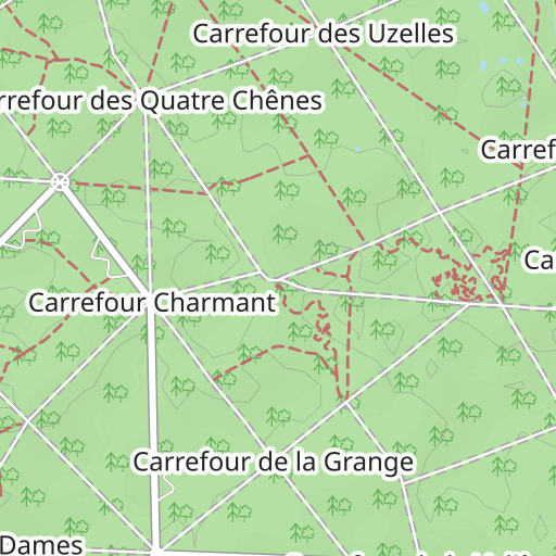
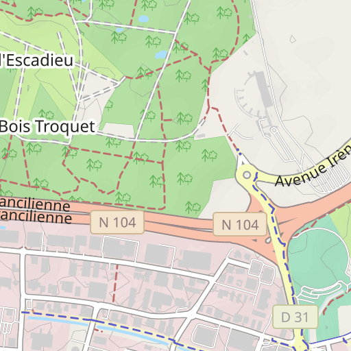
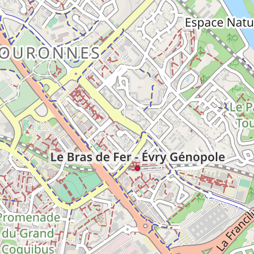
Discover this 9.8 km hiking route near Ris-Orangis. Allow about 2 hours and 40 minutes to complete this route.

Distance
9.84 km
Ascent
83 m
Descent
81 m
Min. altitude
35 m
Max. altitude
83 m

500 m
Route photos
The author has not added any photos to this route yet
Share your experience with photos taken along this route! Contact the author to suggest your images and bring this route to life for other enthusiasts.
A word from the author
Rating left by
randoris
      <p>Distance :  9.9 km</p>

<p>Dénivelé cumulé : 105 m</p>


<p>Prévu  le 27-11-2015</p>


<p>Avertissement</p>
User reviews (0)
Did you love one place in particular? Why not share your experience with others? By leaving a review, you can help the OpenRunner community discover incredible places or avoid disappointments. Do not hesitate to share your feelings, you can make a difference!


