Borrowed by the author

#6646256
Rand-Extreme91 Gometz-le-Chatel 04-10-2016
EXCURSIÓN PEDESTRE
Gometz-le-Châtel Gometz-le-Châtel randoris
Created on 10/2/2016
0 reviews
| 0 photos
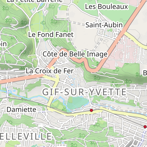
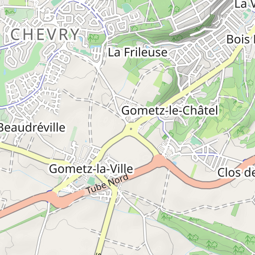
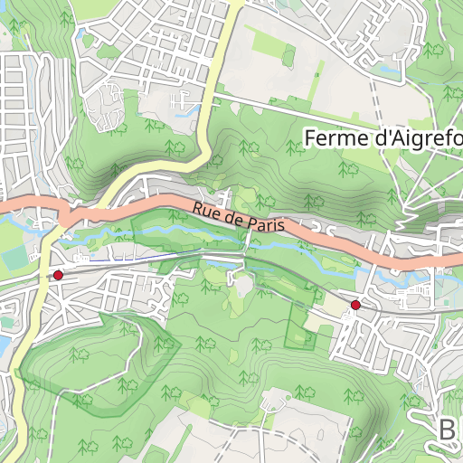
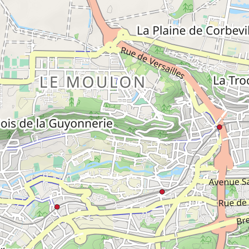
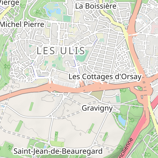
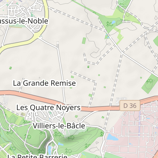
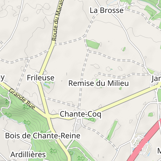
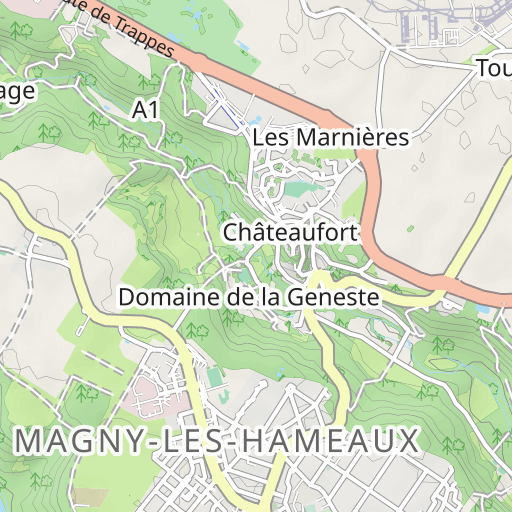
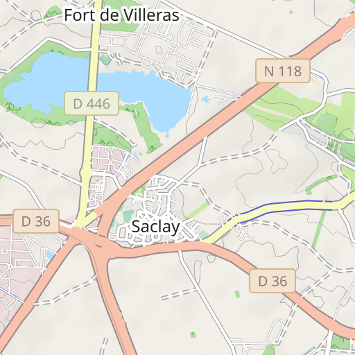
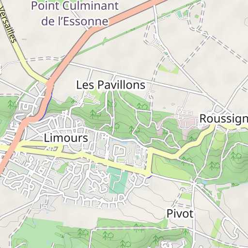
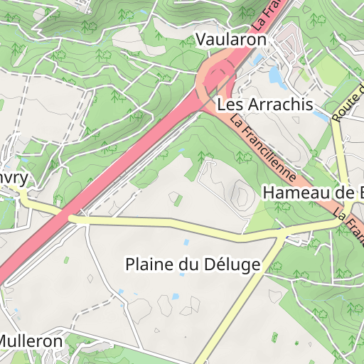
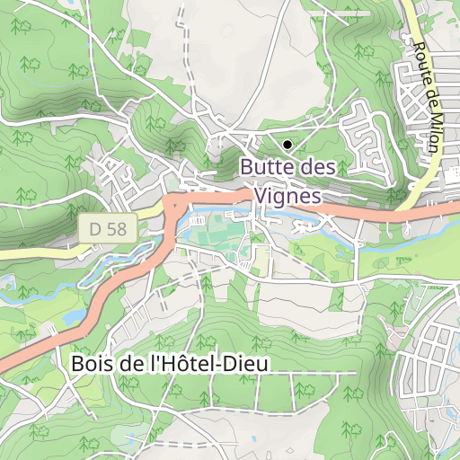
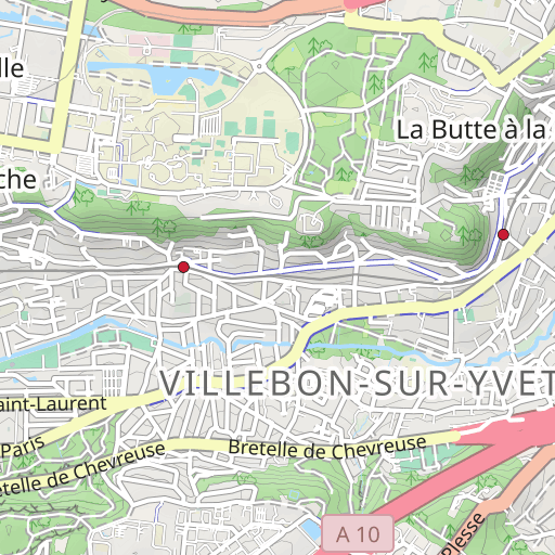
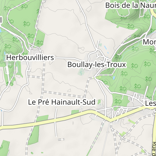
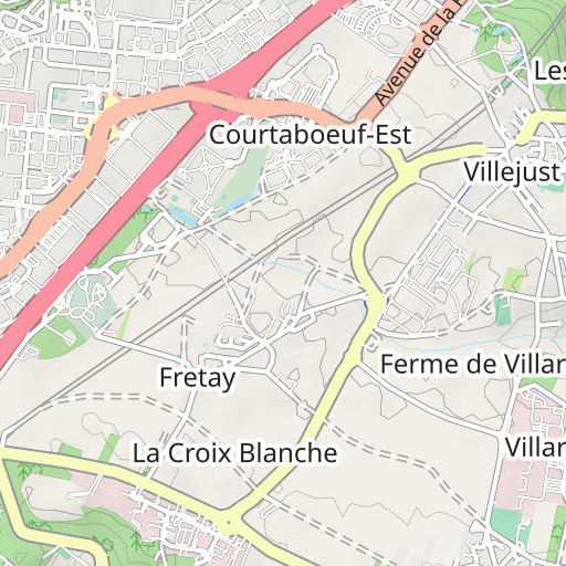
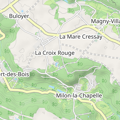
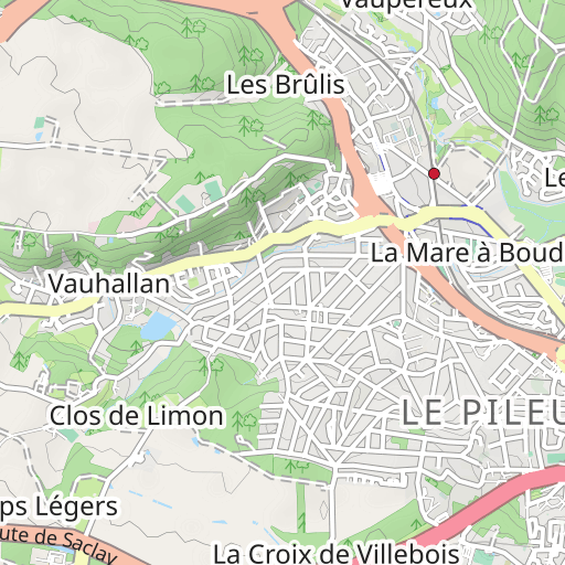
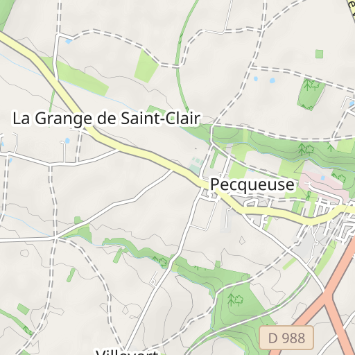
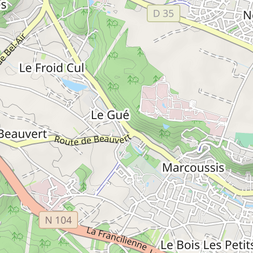
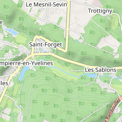
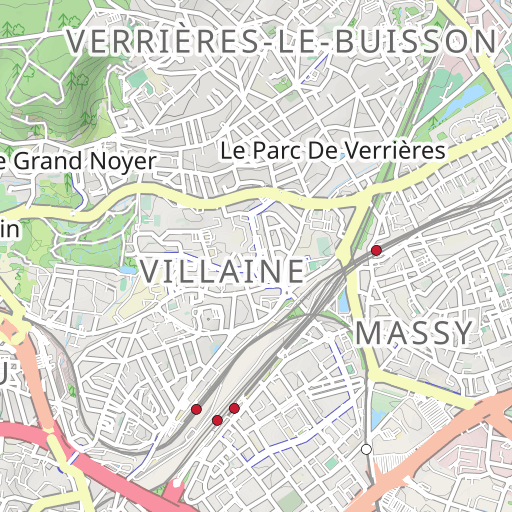
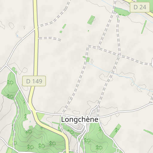
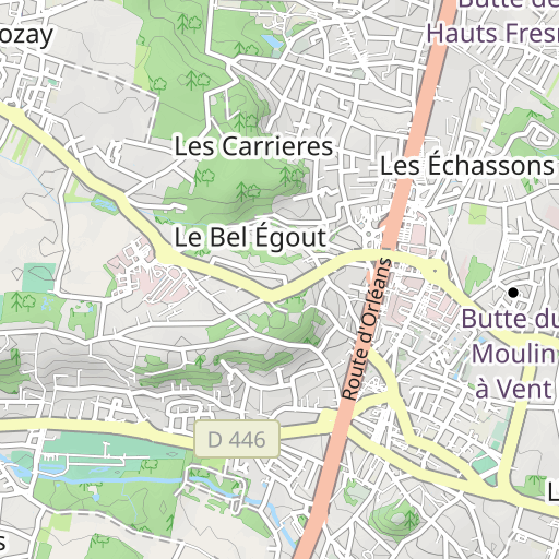
Descubre este recorrido de senderismo de 29,7 km cerca de Gometz-le-Châtel. Presenta un desnivel acumulado de más de 760m. Calcula unas 9 horas y 25 minutos para completar esta ruta.

Distance
29.73 km
Ascent
769 m
Descent
768 m
Min. altitude
61 m
Max. altitude
169 m

1 km
Route photos
The author has not added any photos to this route yet
Share your experience with photos taken along this route! Contact the author to suggest your images and bring this route to life for other enthusiasts.
A word from the author
Rating left by
randoris
<p>Ce parcours correspond à la Randonnée Rand'Extrême 91 organisé par le CDRP91 Comité Départemental de la Randonnée Pédestre en Essonne</p>
<p>Un grand MERCI au CRDP91 pour l'organisation de cette manifestation sans aucune faille.</p>
<p>Le parcours présenté ici correspond à notre parcours, Il peut présenter des écarts par rapport au parcours proposé par le CDRP91</p>
<p>Distance : 29.7km</p>
<p>Dénivelé cumulé : 1020m</p>
<p>Fait le 02-10-2016</p>
<p>Avertissement</p>
User reviews (0)
Did you love one place in particular? Why not share your experience with others? By leaving a review, you can help the OpenRunner community discover incredible places or avoid disappointments. Do not hesitate to share your feelings, you can make a difference!


