Borrowed by the author

#6117721
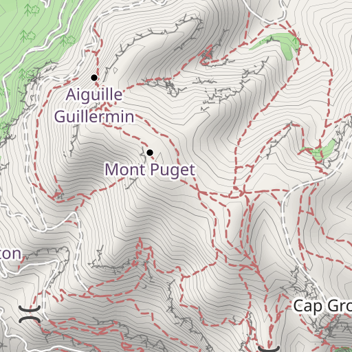
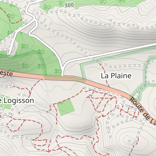
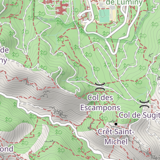
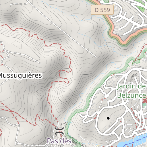
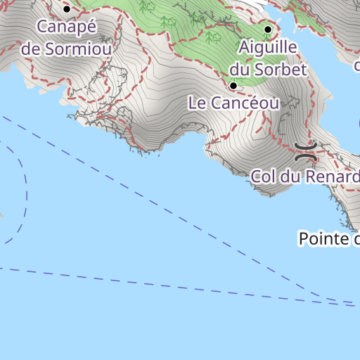
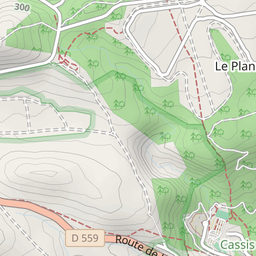
Mont Puget
EXCURSIÓN PEDESTRE
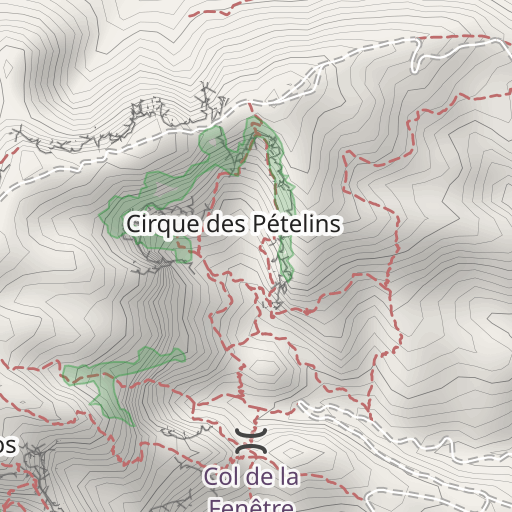
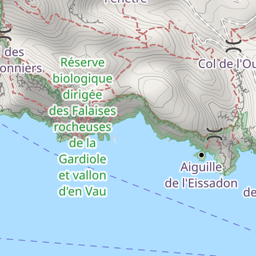
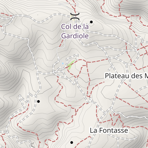
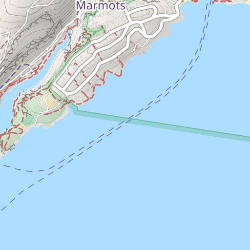
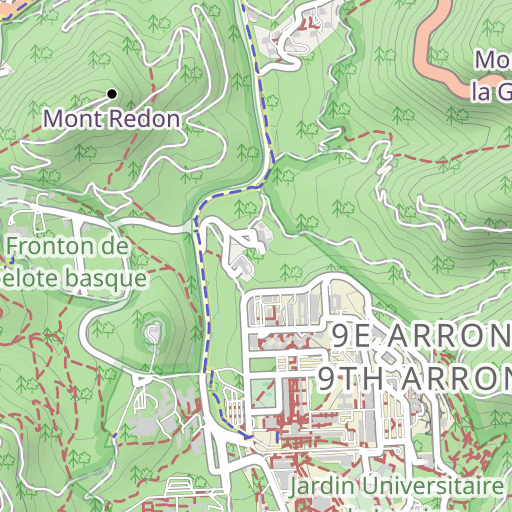
Cassis Cassis toporandosmontagne
Created on 6/30/2016
0 reviews
| 0 photos
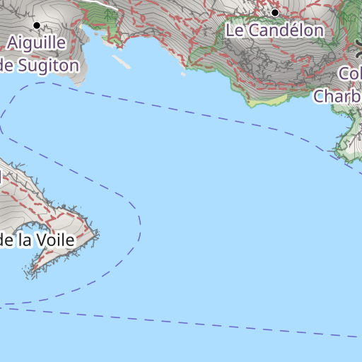
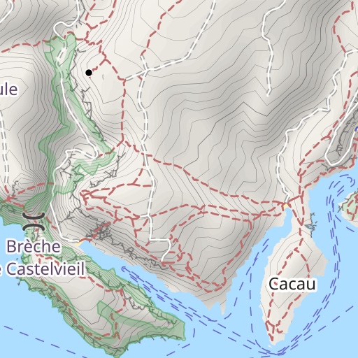
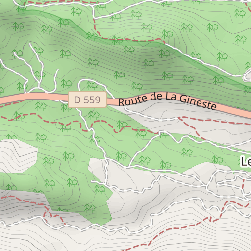
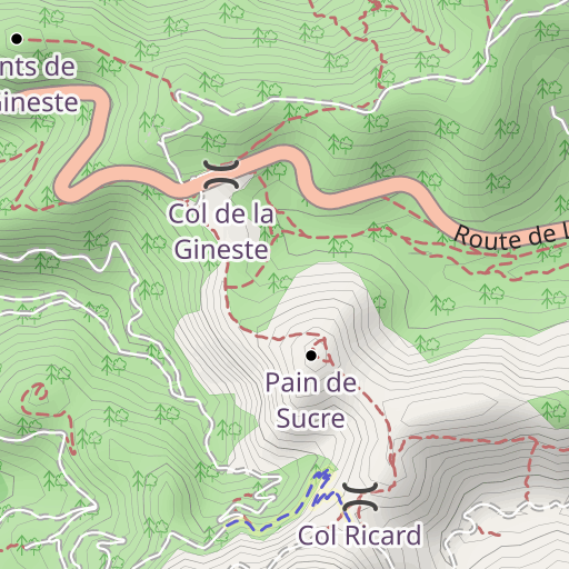
Descubre este recorrido de senderismo de 17,7 km cerca de Cassis. Presenta un desnivel acumulado de más de 870m. Calcula unas 6 horas y 50 minutos para completar esta ruta.
Distance
17.69 km
Ascent
873 m
Descent
873 m
Min. altitude
19 m
Max. altitude
548 m


500 m
Route photos
The author has not added any photos to this route yet
Share your experience with photos taken along this route! Contact the author to suggest your images and bring this route to life for other enthusiasts.
A word from the author
The author has not added any information for this route yet
Encourage them to write a description of this route!
User reviews (0)
Did you love one place in particular? Why not share your experience with others? By leaving a review, you can help the OpenRunner community discover incredible places or avoid disappointments. Do not hesitate to share your feelings, you can make a difference!


