Be the first to leave a review

#5622345
Etrechy 27-01-2016
HIKING
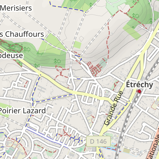
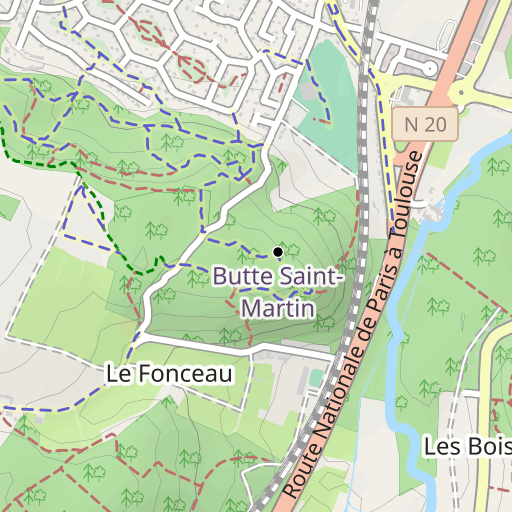
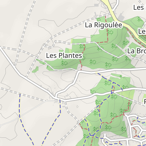
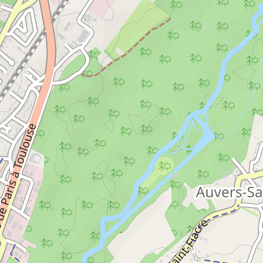
Étréchy Étréchy randoris
Created on 2/1/2016
0 reviews
| 0 photos
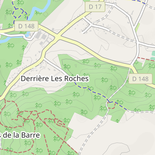
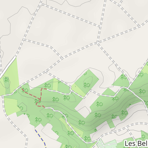
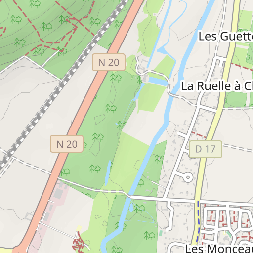
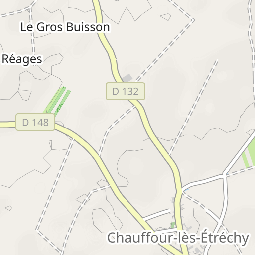
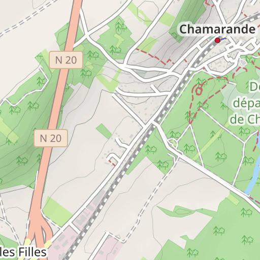
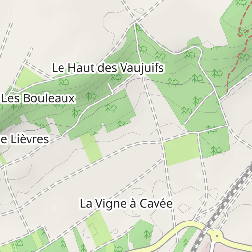
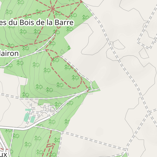
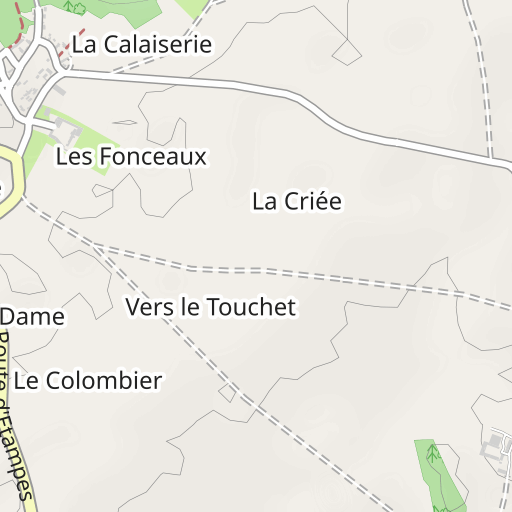
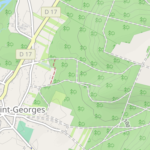
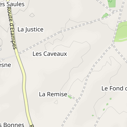
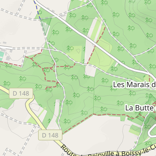
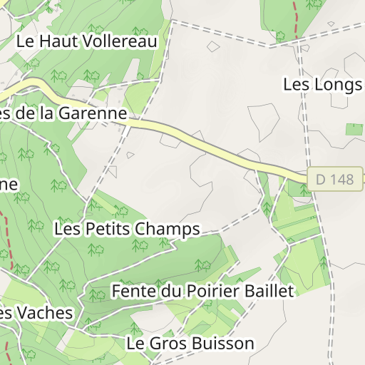
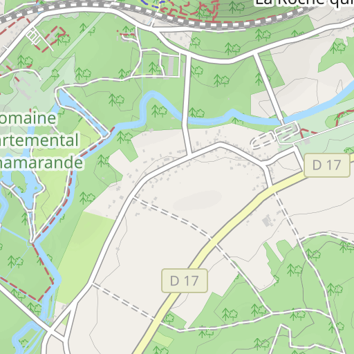
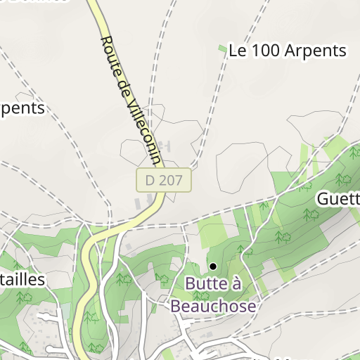
Discover this 20.3 km hiking route near Étréchy. It has a cumulative ascent of more than 330m. Allow about 5 hours and 55 minutes to complete this route.

Distance
20.30 km
Ascent
330 m
Descent
329 m
Min. altitude
64 m
Max. altitude
153 m

500 m
Route photos
The author has not added any photos to this route yet
Share your experience with photos taken along this route! Contact the author to suggest your images and bring this route to life for other enthusiasts.
A word from the author
Rating left by
randoris
<p>Distance : 20 km</p>
<p>Dénivelé cumulé : 370 m</p>
<p>Fait le 27-01-2016</p>
<ul>
<li>Boucle ouest le matin 11km 200m</li>
<li>Boucle est l'après-midi 9km 170m</li>
</ul>
<p>Avertissement</p>
User reviews (0)
Did you love one place in particular? Why not share your experience with others? By leaving a review, you can help the OpenRunner community discover incredible places or avoid disappointments. Do not hesitate to share your feelings, you can make a difference!


