Be the first to leave a review

#5595945
Bruyere-le-Chatel 06-01-2016
HIKING
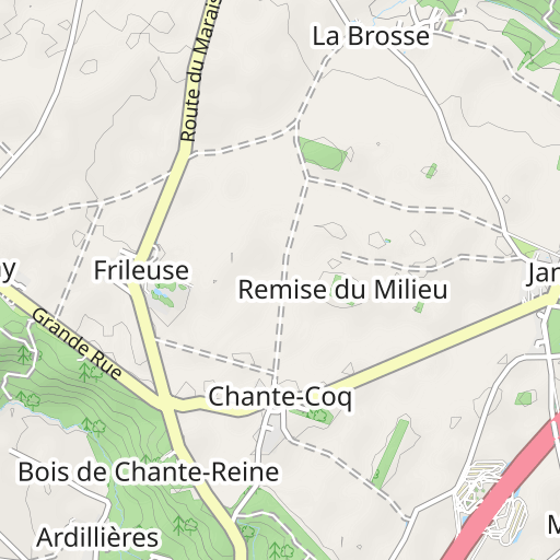
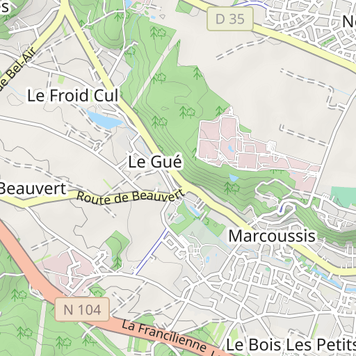
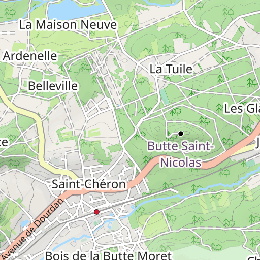
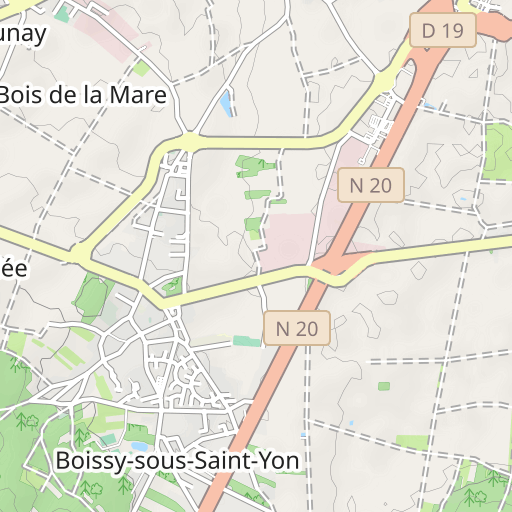
Bruyères-le-Châtel Bruyères-le-Châtel randoris
Created on 1/6/2016
0 reviews
| 0 photos
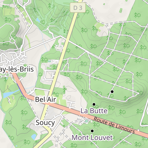
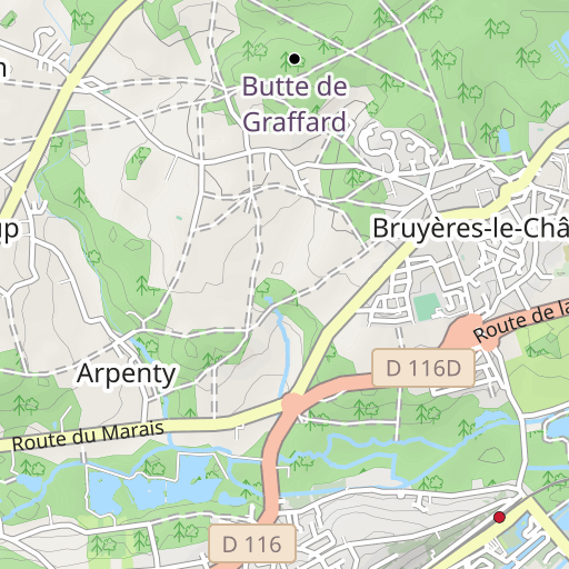
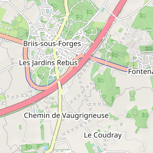
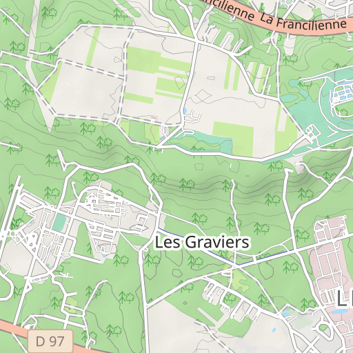
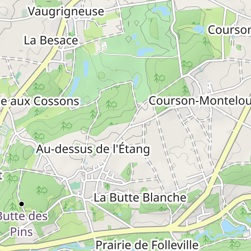
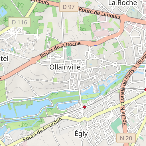
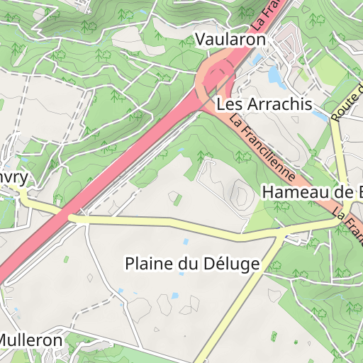
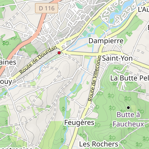
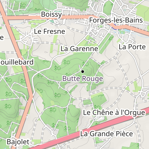
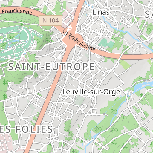
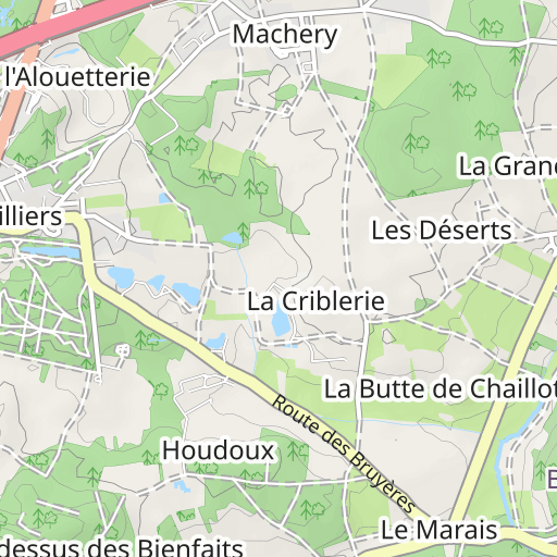
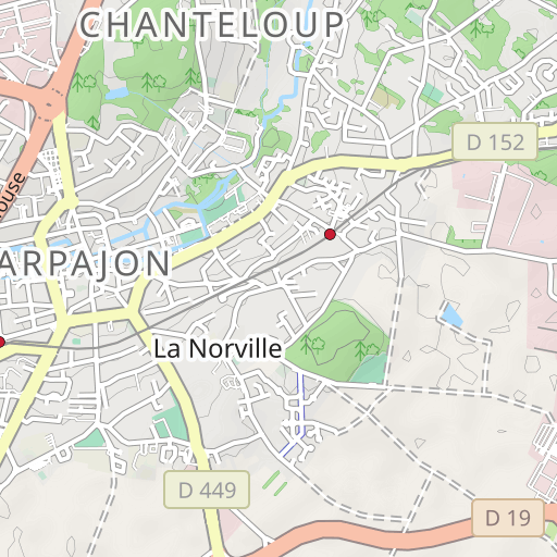
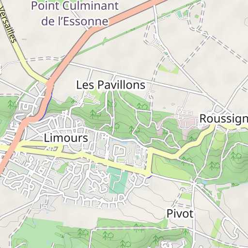
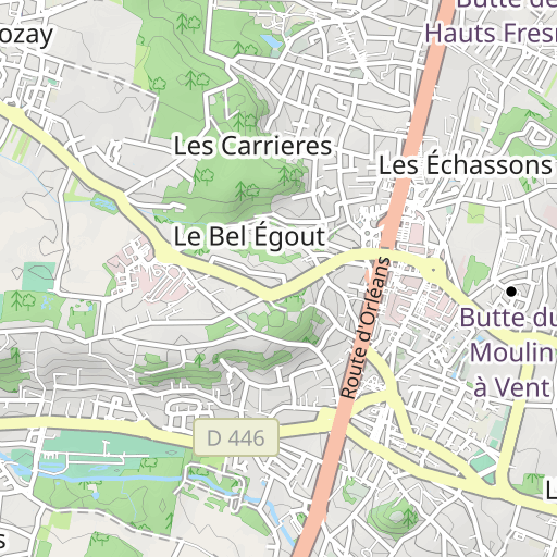
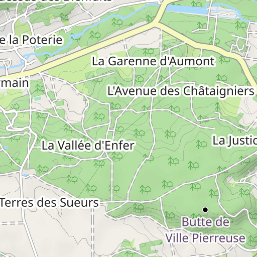
Discover this 18.9 km hiking route near Bruyères-le-Châtel. It has a cumulative ascent of more than 210m. Allow about 5 hours and 15 minutes to complete this route.

Distance
18.85 km
Ascent
215 m
Descent
212 m
Min. altitude
61 m
Max. altitude
163 m

1 km
Route photos
The author has not added any photos to this route yet
Share your experience with photos taken along this route! Contact the author to suggest your images and bring this route to life for other enthusiasts.
A word from the author
Rating left by
randoris
<p>Distance : 18.9 km</p>
<p>Dénivelé cumulé : 238 m</p>
<p>Fait le 06-01-2016</p>
<p>[01] le GR111 est impraticable, complètement défoncé et regorge d'eau. A éviter !</p>
<p>Avertissement</p>
User reviews (0)
Did you love one place in particular? Why not share your experience with others? By leaving a review, you can help the OpenRunner community discover incredible places or avoid disappointments. Do not hesitate to share your feelings, you can make a difference!


