Be the first to leave a review

#5199615
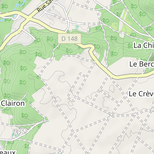
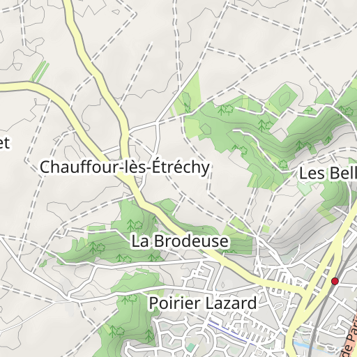
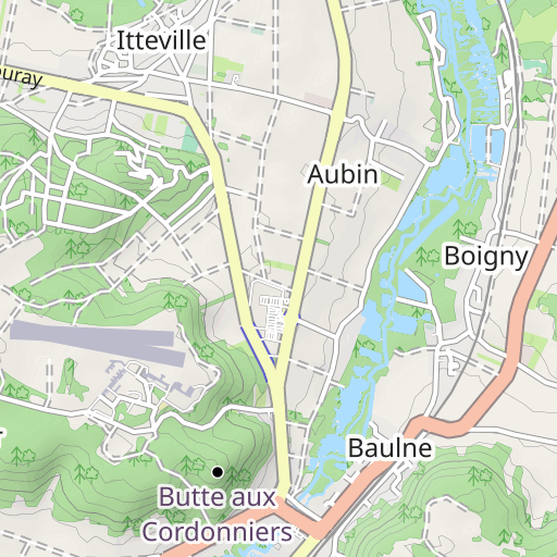
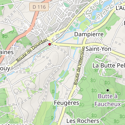
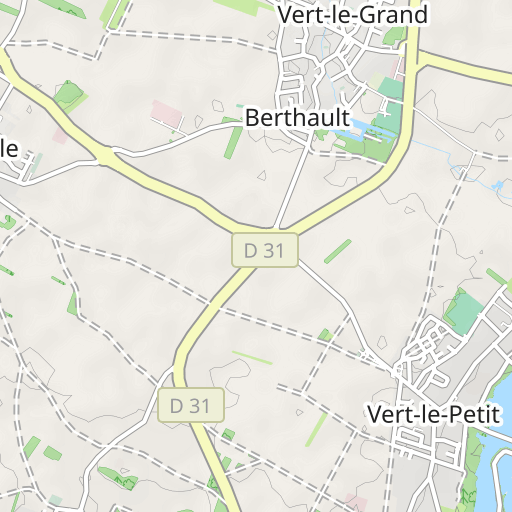
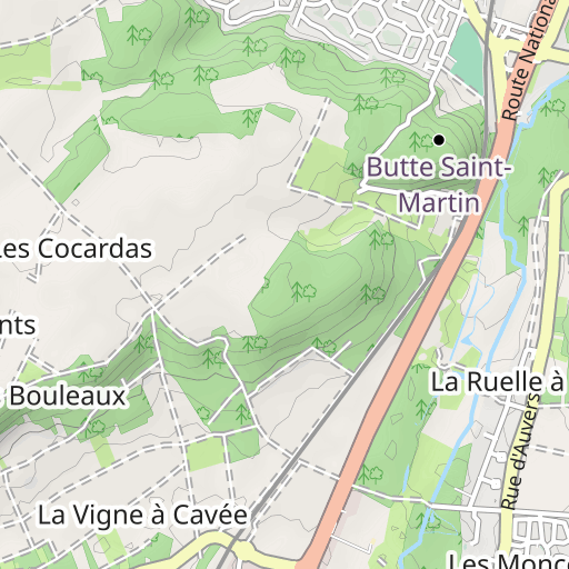
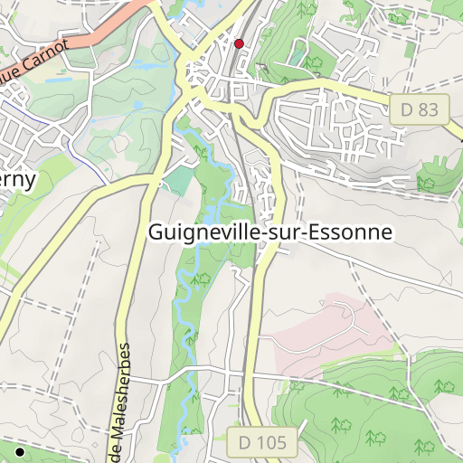
Cheptainville Chamarande
HIKING
Cheptainville Cheptainville randoris
Created on 9/7/2015
0 reviews
| 0 photos
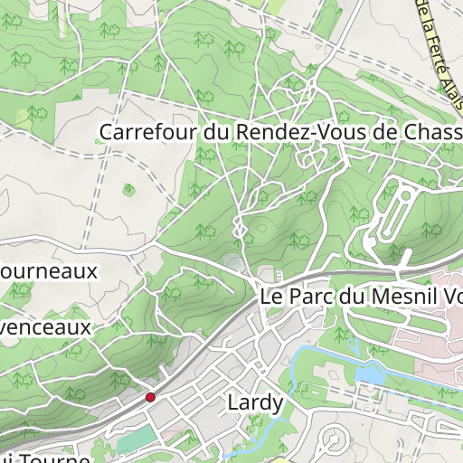
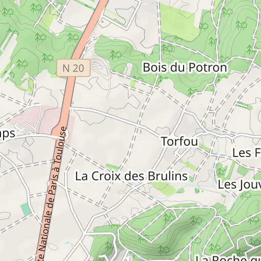
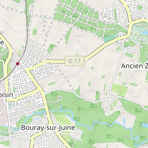
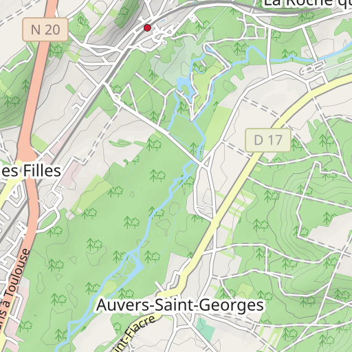
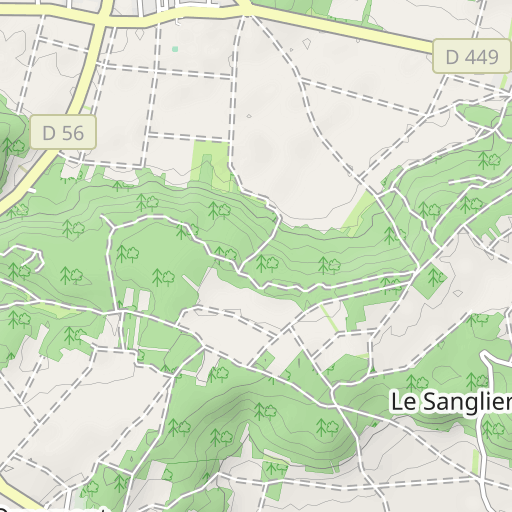
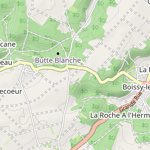
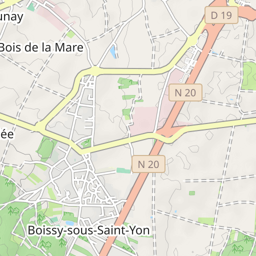
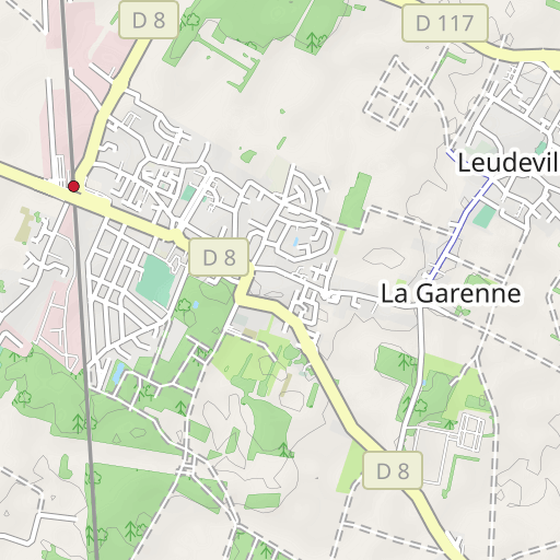
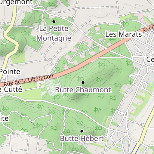
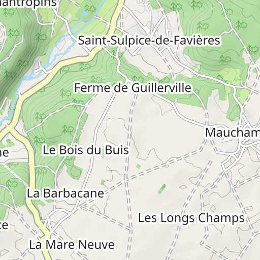
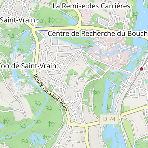
Discover this 21.7 km hiking route near Cheptainville. It has a cumulative ascent of more than 320m. Allow about 6 hours and 15 minutes to complete this route.

Distance
21.74 km
Ascent
324 m
Descent
322 m
Min. altitude
60 m
Max. altitude
159 m


1 km
Route photos
The author has not added any photos to this route yet
Share your experience with photos taken along this route! Contact the author to suggest your images and bring this route to life for other enthusiasts.
A word from the author
Rating left by
randoris
      <p>Parcours théorique</p>

<p>Variante du 06-11-2013 ID:3033340</p>

<p>Fait le 15-04-2015 ID:4678518 mais réduite à 18.7km</p>

<p>Fait le 12-08-2015 mais avec pas mal de variante (pas de trace)</p>


<p>Avertissement</p>
User reviews (0)
Did you love one place in particular? Why not share your experience with others? By leaving a review, you can help the OpenRunner community discover incredible places or avoid disappointments. Do not hesitate to share your feelings, you can make a difference!


