Be the first to leave a review

#5113209
Rando Carte Boussole 20-09-2015
HIKING
Fontainebleau Fontainebleau randoris
Created on 7/30/2015
0 reviews
| 0 photos
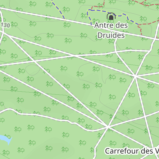
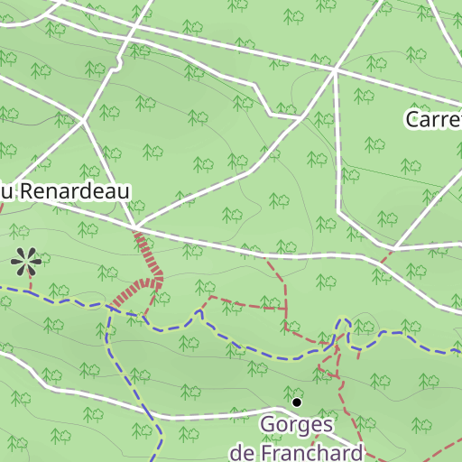
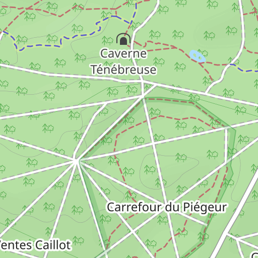
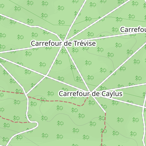
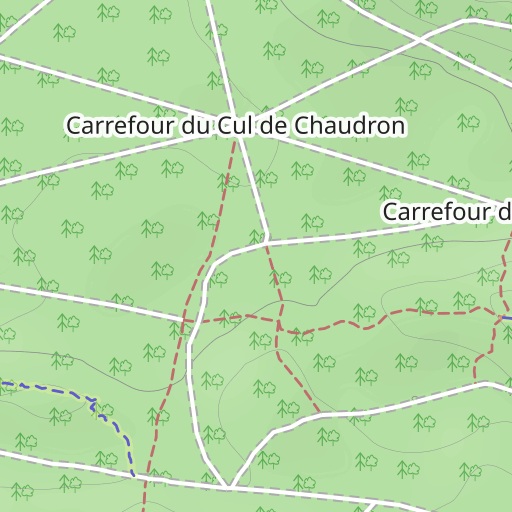
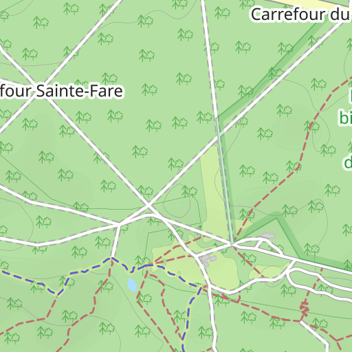
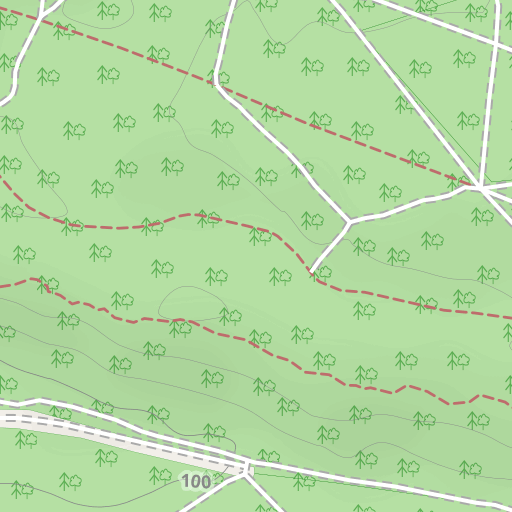
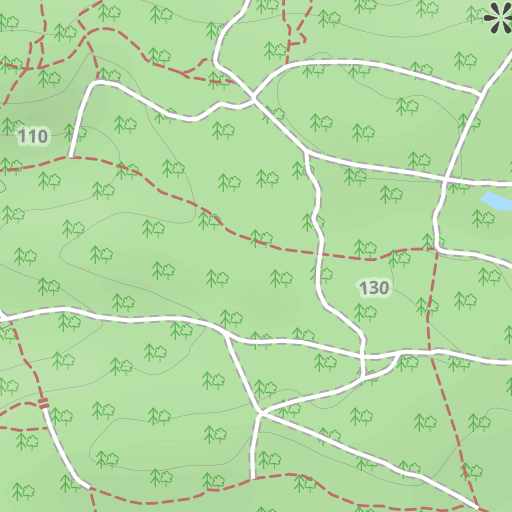
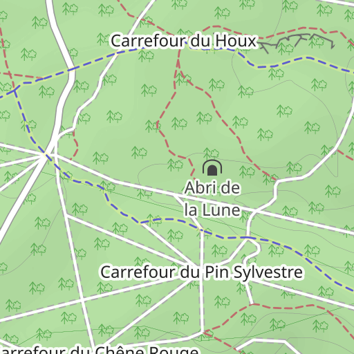
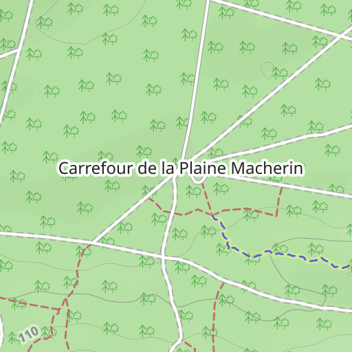
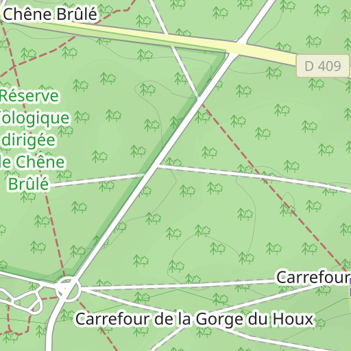
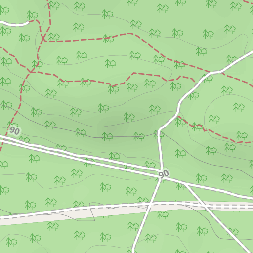
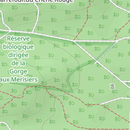
Discover this 8.8 km hiking route near Fontainebleau. Allow about 2 hours and 20 minutes to complete this route.

Distance
8.84 km
Ascent
55 m
Descent
53 m
Min. altitude
125 m
Max. altitude
144 m

300 m
Route photos
The author has not added any photos to this route yet
Share your experience with photos taken along this route! Contact the author to suggest your images and bring this route to life for other enthusiasts.
A word from the author
Rating left by
randoris
<p>Randonnée d'initiation Cartes et Boussole</p>
<p>Le tracé n'est pas significatif, c'est juste un support pour une rando découverte Carte-Boussole.</p>
<p>Avertissement</p>
User reviews (0)
Did you love one place in particular? Why not share your experience with others? By leaving a review, you can help the OpenRunner community discover incredible places or avoid disappointments. Do not hesitate to share your feelings, you can make a difference!


