Borrowed by the author

#3434225
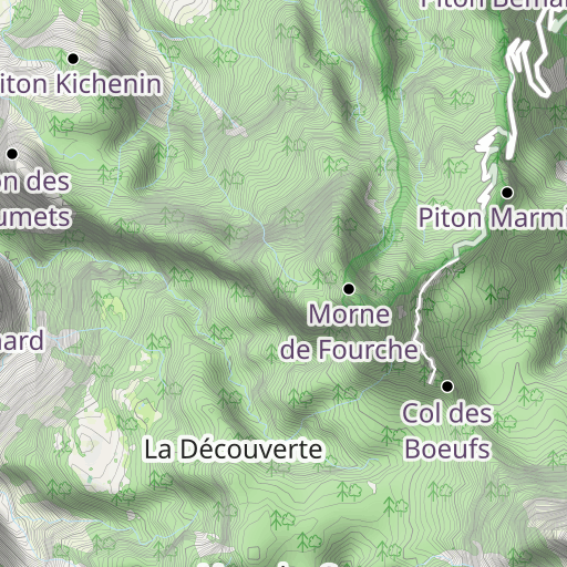
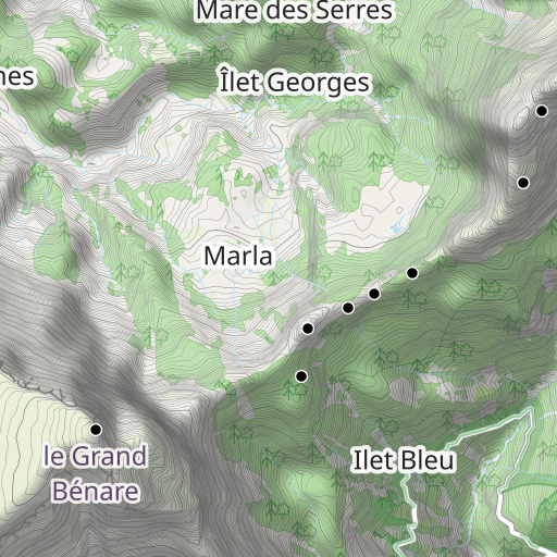
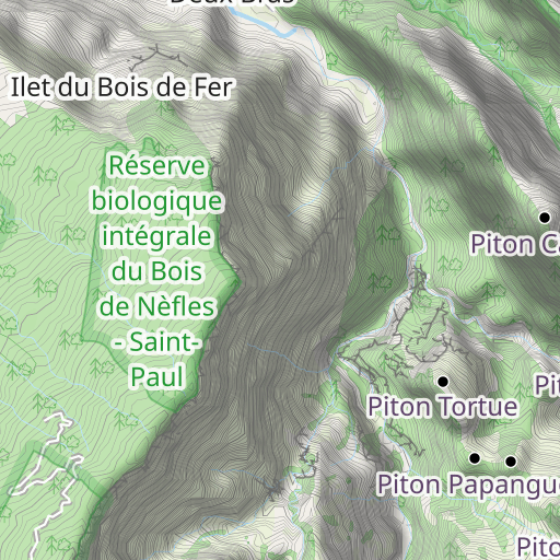
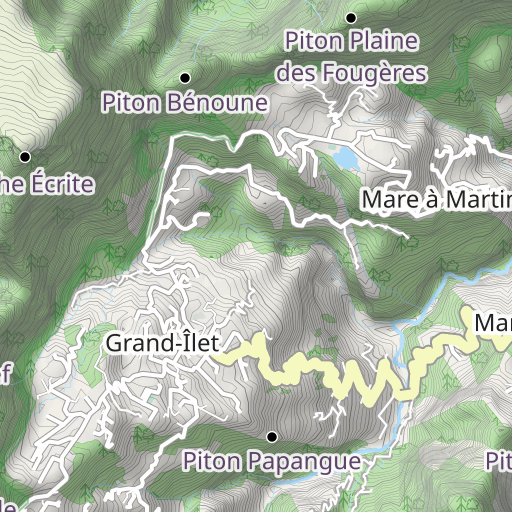
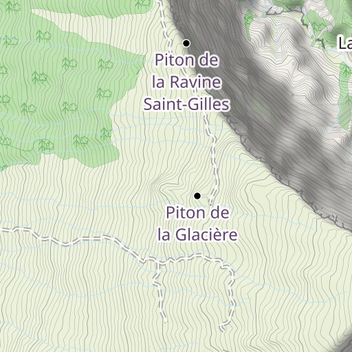
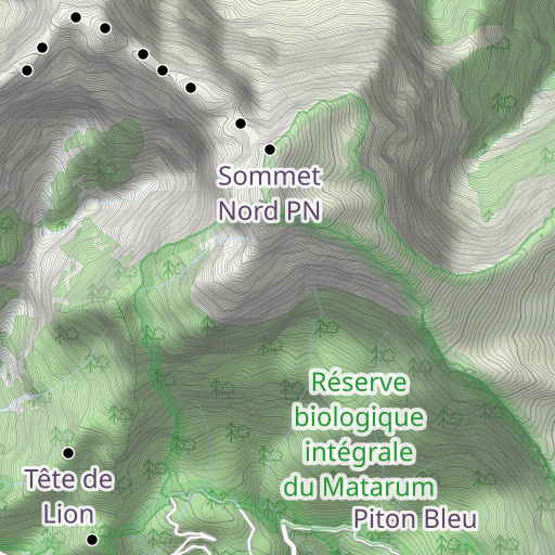
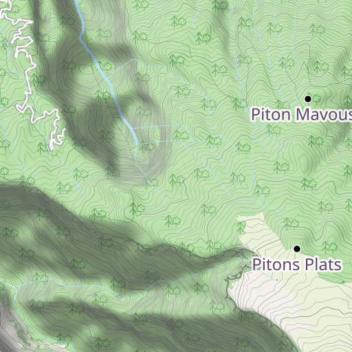
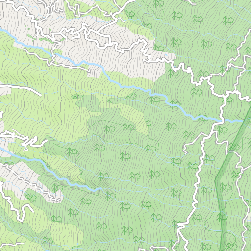
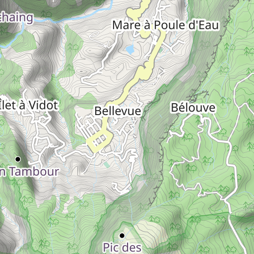
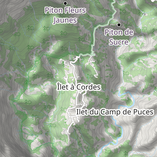
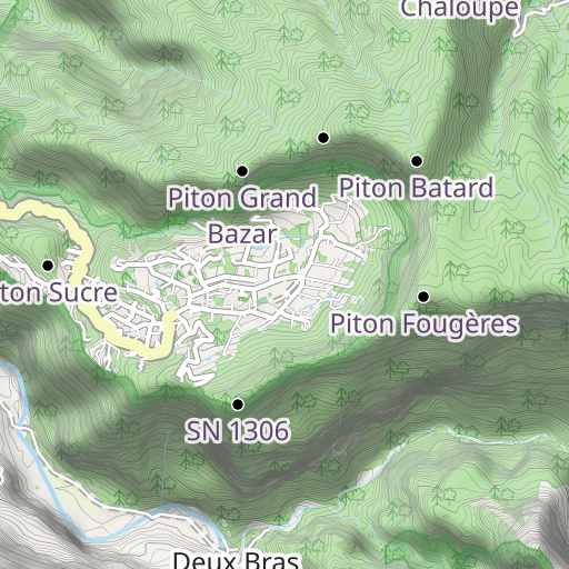
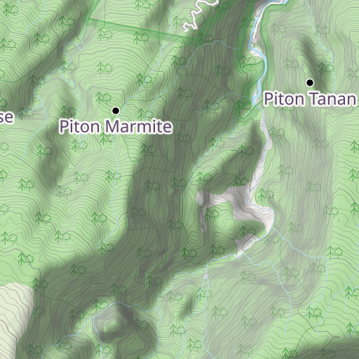
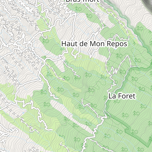
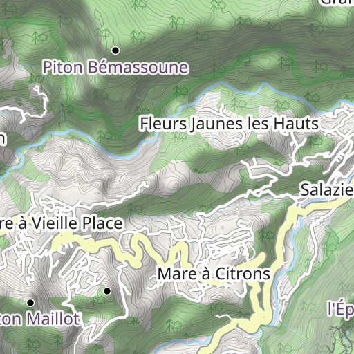
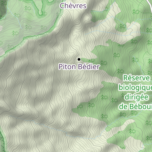
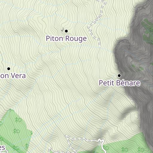
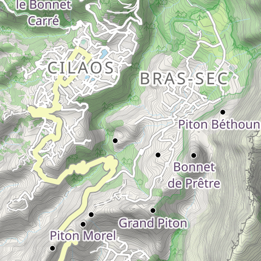
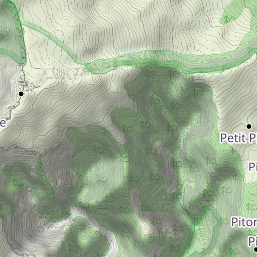
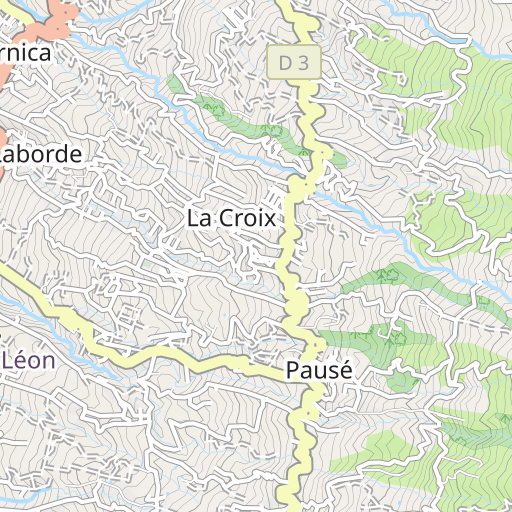
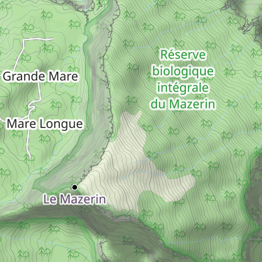
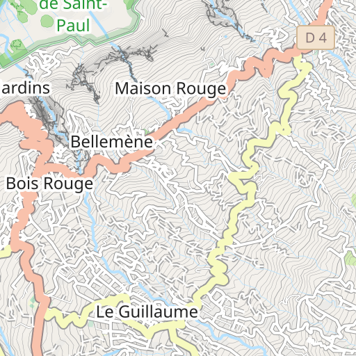
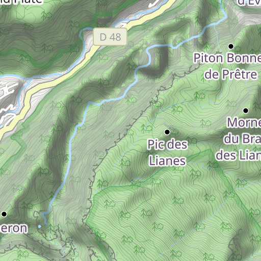
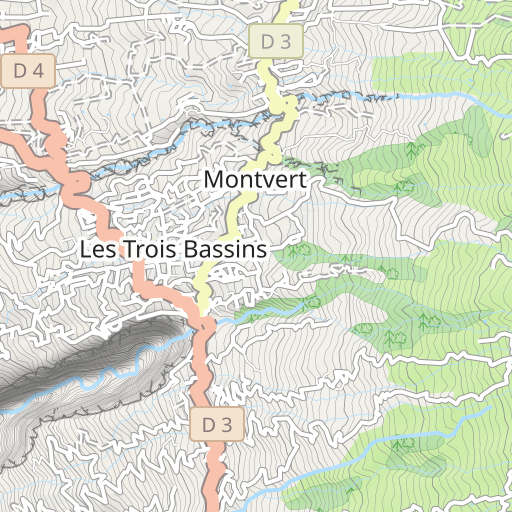
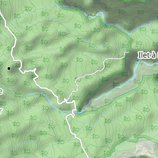
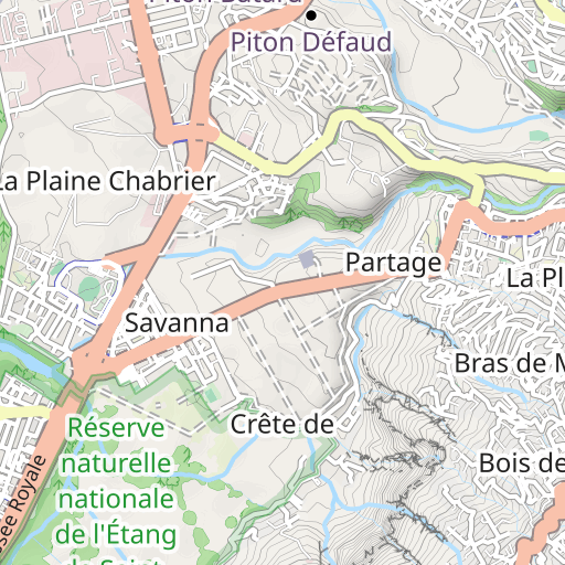
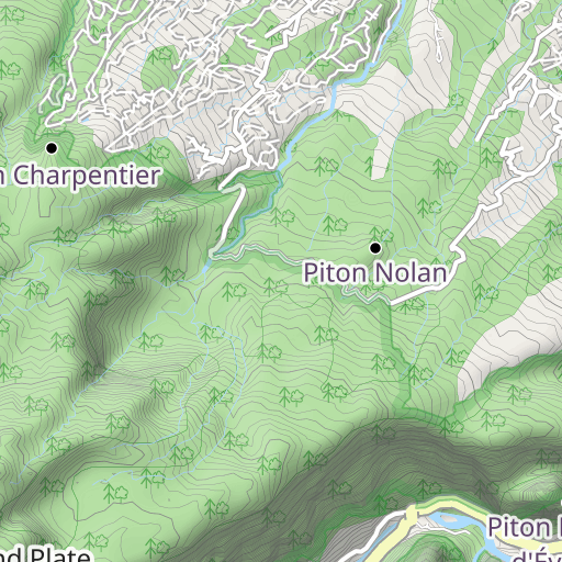
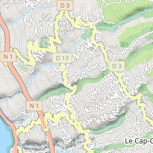
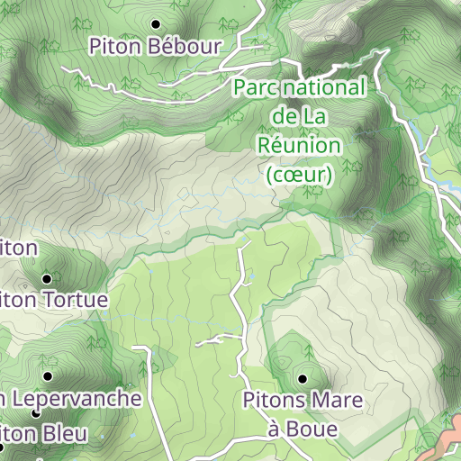
RANDO MARLA à ILET A MALHEUR par col de Fourche .
HIKING
Mafatte Îlet à Malheur kiki86
Created on 4/1/2014
0 reviews
| 0 photos
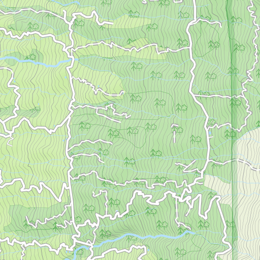
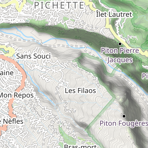
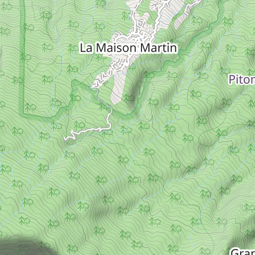
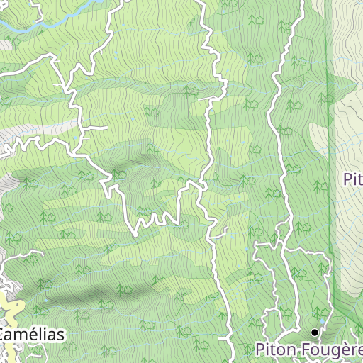
Discover this 16.1 km hiking route that starts in Mafatte and ends in Îlet à Malheur. It has a cumulative ascent of more than 580m. Allow about 6 hours and 40 minutes to complete this route.
Distance
16.10 km
Ascent
580 m
Descent
1 368 m
Min. altitude
842 m
Max. altitude
1 916 m
2 km
Route photos
The author has not added any photos to this route yet
Share your experience with photos taken along this route! Contact the author to suggest your images and bring this route to life for other enthusiasts.
A word from the author
Rating left by
kiki86
RANDO MAFATE : 2ème étape : MARLA à ILET à MALHEUR par la Plaine des Tamarins, le Col de Fourche et Sentier Scout : 6h32' (hors pique nique du midi)
User reviews (0)
Did you love one place in particular? Why not share your experience with others? By leaving a review, you can help the OpenRunner community discover incredible places or avoid disappointments. Do not hesitate to share your feelings, you can make a difference!


