Borrowed by the author

#3363573
Le Marais 12-03-2014
ESCURSIONE A PIEDI
Saint-Maurice-Montcouronne Saint-Maurice-Montcouronne randoris
Created on 5/30/2014
0 reviews
| 0 photos
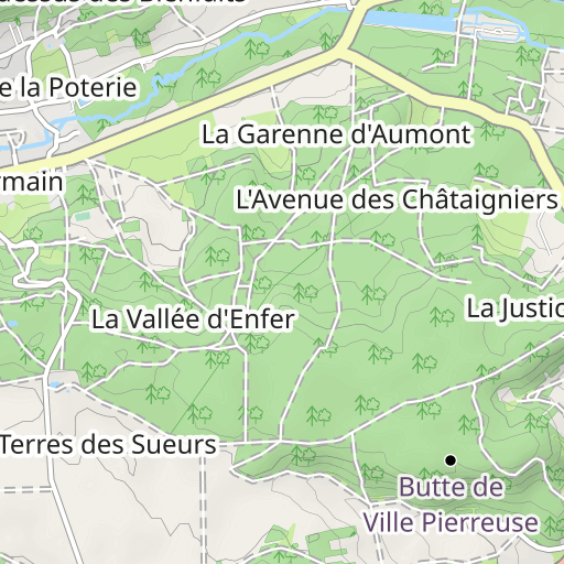
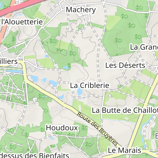
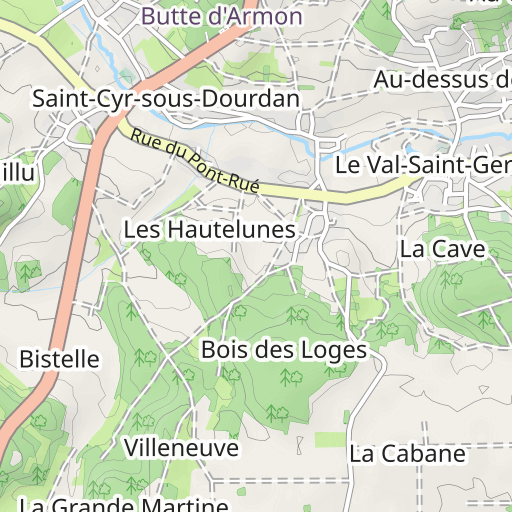
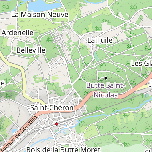
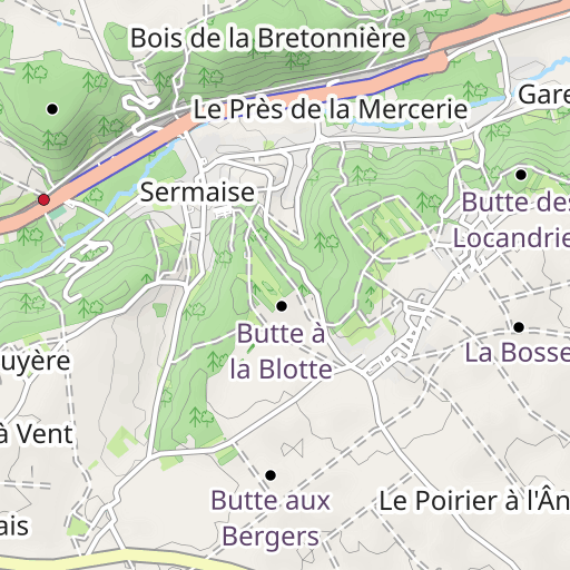
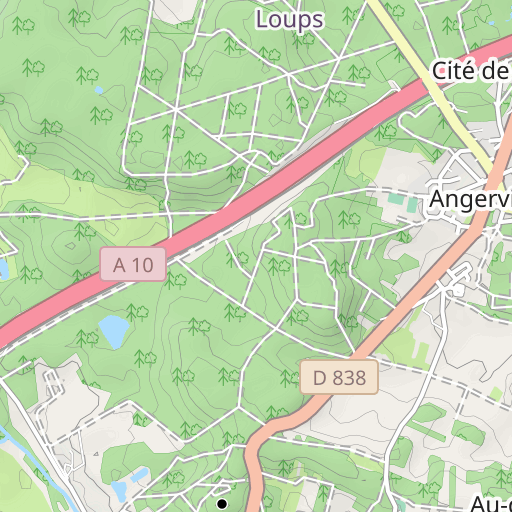
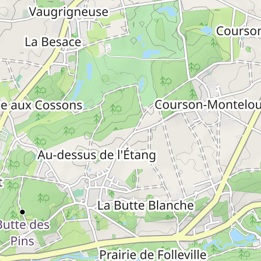
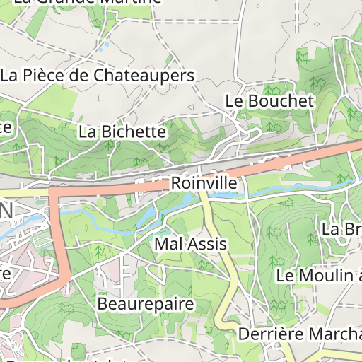
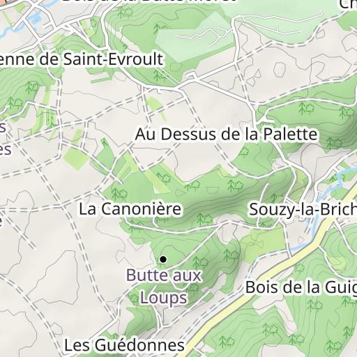
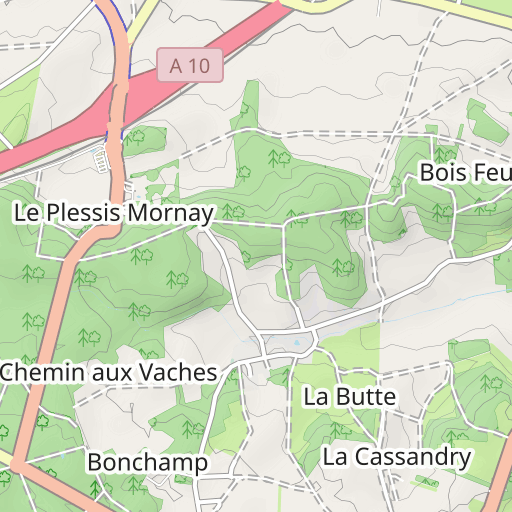
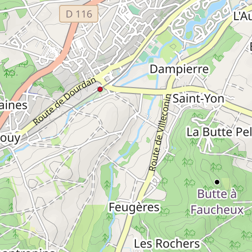
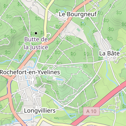
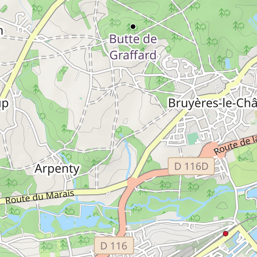
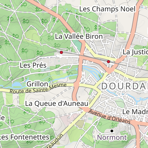
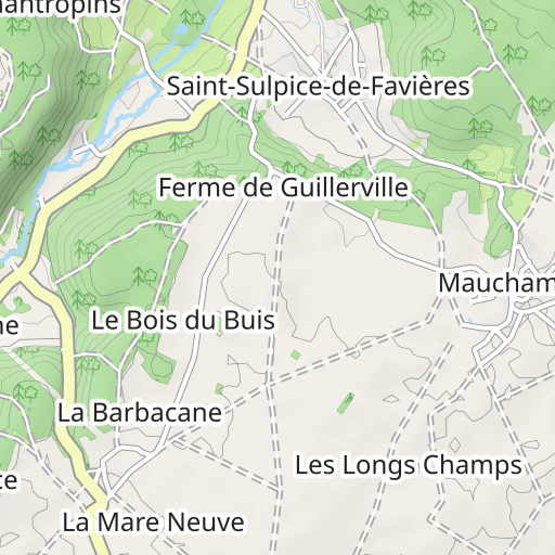
Scopri questo percorso in trekking di 23,2 km vicino a Saint-Maurice-Montcouronne. Presenta una salita cumulativa di oltre 420m. Prevedi circa 6 ore e 55 minuti per completare questo percorso.

Distance
23.24 km
Ascent
429 m
Descent
429 m
Min. altitude
63 m
Max. altitude
167 m
1 km
Route photos
The author has not added any photos to this route yet
Share your experience with photos taken along this route! Contact the author to suggest your images and bring this route to life for other enthusiasts.
A word from the author
Rating left by
randoris
      <p>Rando à reprendre entre POI n°1 et n°2 car on est dans la propriété privée du château.</p>

<p>Avertissement</p>
User reviews (0)
Did you love one place in particular? Why not share your experience with others? By leaving a review, you can help the OpenRunner community discover incredible places or avoid disappointments. Do not hesitate to share your feelings, you can make a difference!


