Borrowed by the author

#2241401
LES PINS MONTAGNE
HIKING
Balbigny Balbigny randoforezest
Created on 10/5/2017
0 reviews
| 0 photos
Discover this 7.3 km hiking route near Balbigny. It has a cumulative ascent of more than 110m. Allow about 2 hours and 5 minutes to complete this route.
Distance
7.26 km
Ascent
111 m
Descent
111 m
Min. altitude
334 m
Max. altitude
393 m


300 m
Route photos
The author has not added any photos to this route yet
Share your experience with photos taken along this route! Contact the author to suggest your images and bring this route to life for other enthusiasts.
A word from the author
Rating left by
randoforezest
      DEPART: Salle Concillon de Balbigny.

DUREE DU PARCOURS: 1h30
26% de sentiers

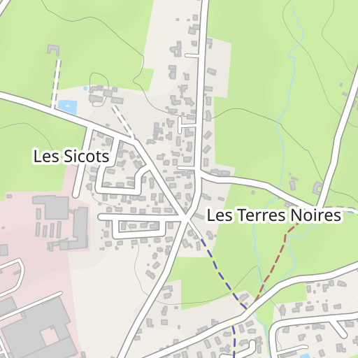
- Emprunter la rue Concillon jusqu’au bout. Tourner à droite pour s’engager sur le chemin goudronné de la «Goutte Rouge» et le suivre sur 500 m. Au petit pont blanc, obliquer sur le chemin à gauche pour arriver aux « Terres Noires ».

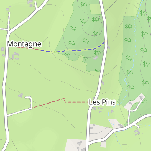
- Laisser à droite le circuit de 13 km et prendre tout droit. Passer à « Montélimar » et arriver à « La Ronzière » vers une croix perchée sur le talus. Tourner à gauche pour prendre la route « des Pins ».

- Arriver au panneau STOP, virer à droite puis suivre la route sur 600 m. Tourner à angle aigu sur la gauche en sous-bois. Garder la gauche dans le sous-bois pour rejoindre une route goudronnée.

- Tourner à gauche pour l’emprunter sur 50 m. Puis tourner à droite tout de suite après la maison pour suivre  un chemin herbeux sur 500m. Bifurquer à gauche sur la route goudronnée pour la suivre sur 1 km. Au bout, tourner à gauche et suivre cette petite route jusqu’au bout sur 1200 m.

- En passant devant le château des Sicots. Tourner alors à droite et faire 750 m. pour rejoindre le point de départ.


Plus d'informations sur www.rando-forez-est.com
User reviews (0)
Did you love one place in particular? Why not share your experience with others? By leaving a review, you can help the OpenRunner community discover incredible places or avoid disappointments. Do not hesitate to share your feelings, you can make a difference!


