Borrowed by the author

#20961203
Parcours 17bis
CICLISMO SU STRADA
Artiguelouve Artiguelouve luiggi64
Created on 3/24/2025
0 reviews
| 0 photos
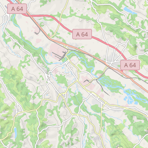
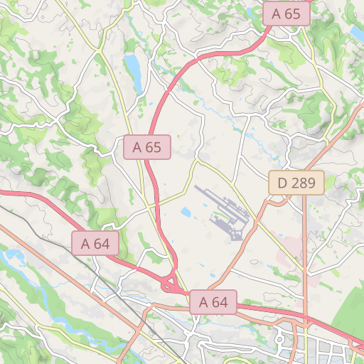
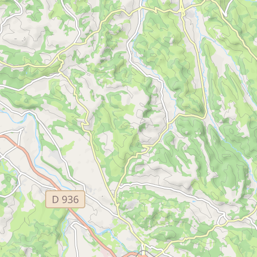
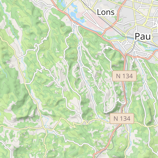
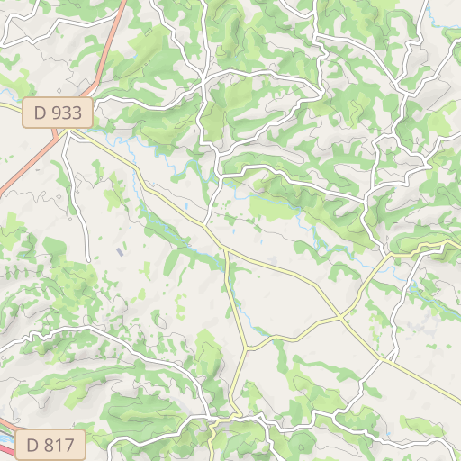
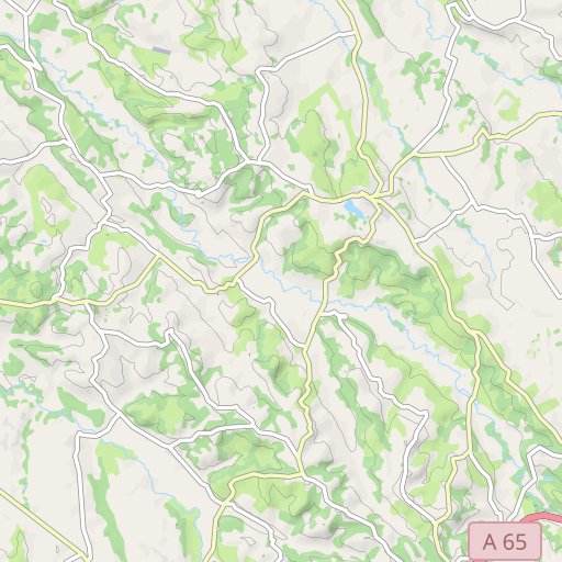
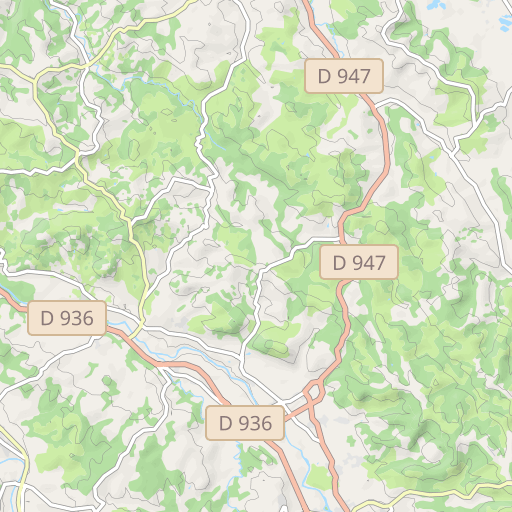
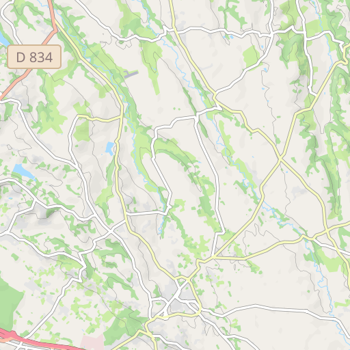
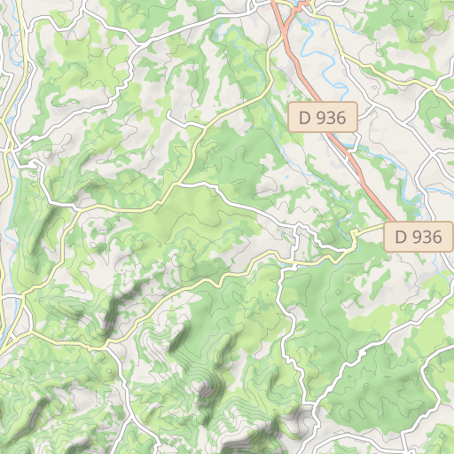
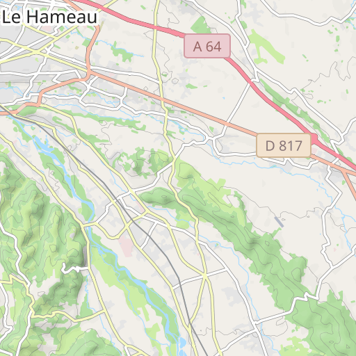
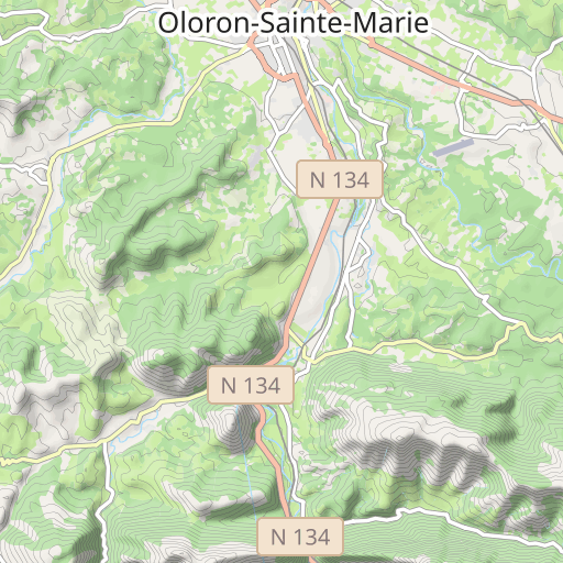
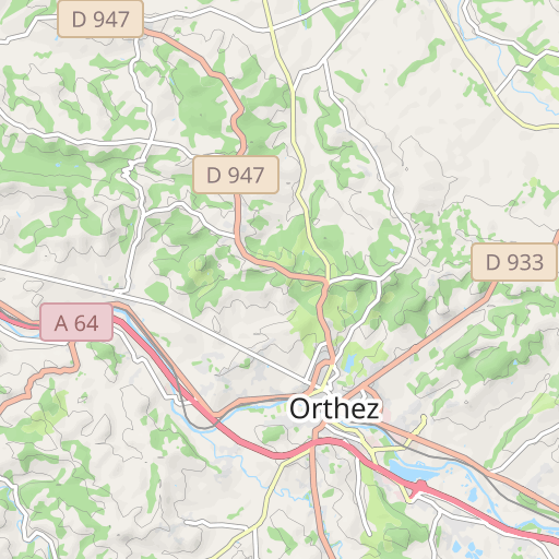
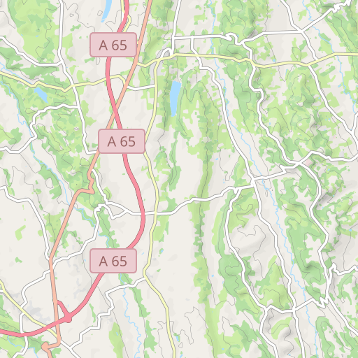
Scopri questo percorso in bicicletta di 86,1 km vicino a Artiguelouve. Questo percorso si snoda su 83,5 km di strade. Presenta una salita cumulativa di oltre 960m.
Distance
86.06 km
Ascent
967 m
Descent
969 m
Min. altitude
93 m
Max. altitude
372 m

5 km
Route photos
The author has not added any photos to this route yet
Share your experience with photos taken along this route! Contact the author to suggest your images and bring this route to life for other enthusiasts.
A word from the author
Rating left by
luiggi64
Lescar - Artiguelouve direction Lacommande en haut de la côte prendre chemin des crêtes vers Arbus - Parbayse - Abos - Besingrand -Os Marsillon - Abidos -- Lagor - Mourenx - Lahourcade - D109 - Cardesse - D9 - bois du Laring - à la sortie du bois prendre à gauche vers la côte blanche - Lasseube - route de Gan - en haut de la cote prendre à droite chemin de Renoir - vallée de las Hies - Côte de l'église - St Faust de Bas - St Faust de Haut - Laroin - Lescar.
User reviews (0)
Did you love one place in particular? Why not share your experience with others? By leaving a review, you can help the OpenRunner community discover incredible places or avoid disappointments. Do not hesitate to share your feelings, you can make a difference!


