Borrowed by the author

#2027907
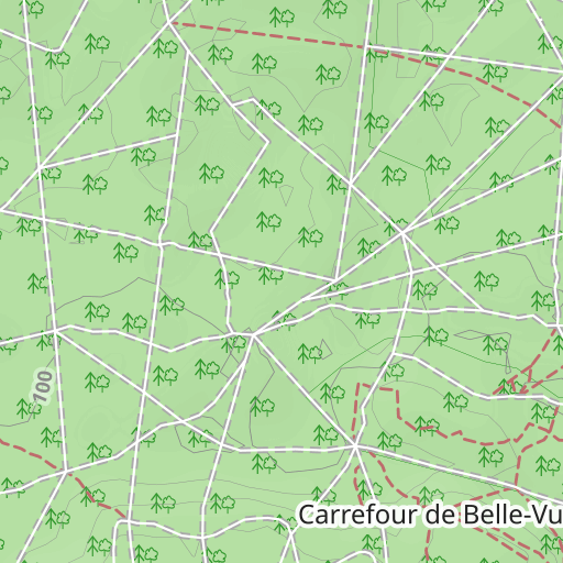
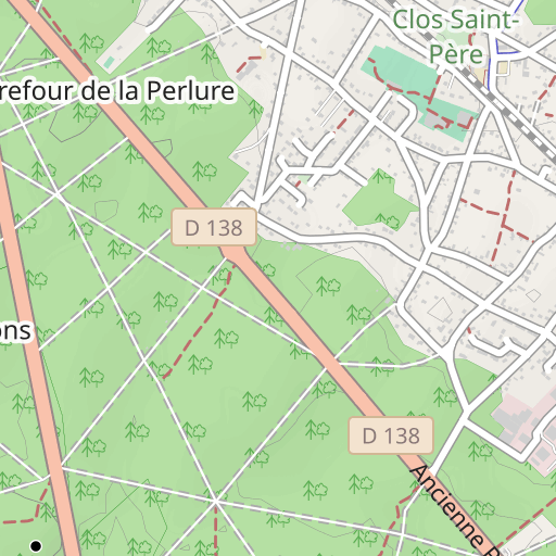
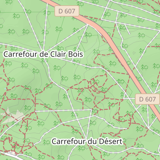
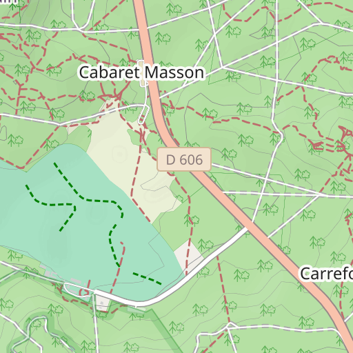
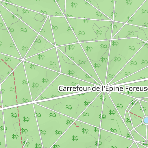
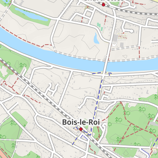
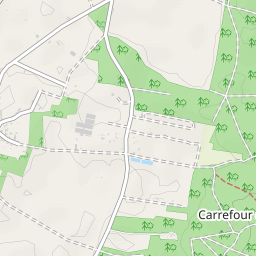
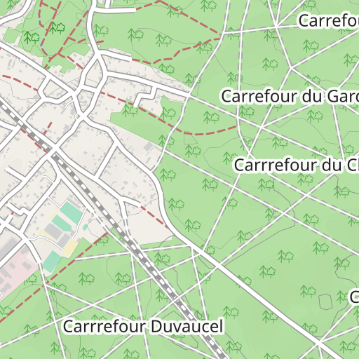
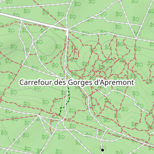
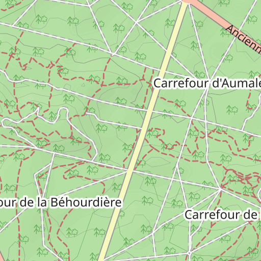
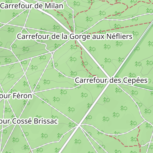
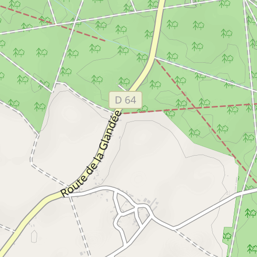
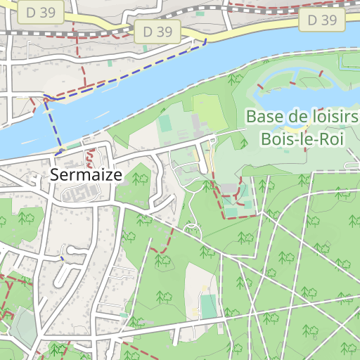
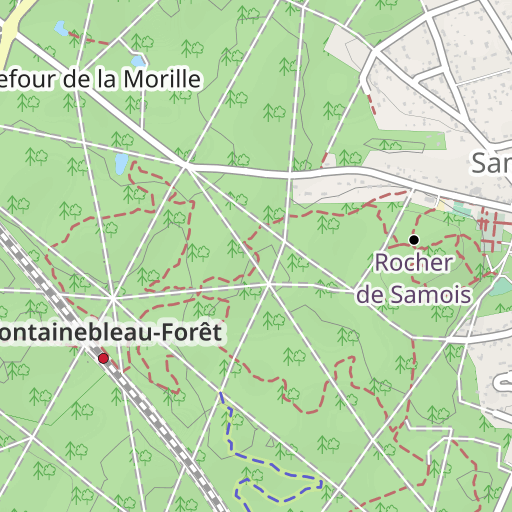
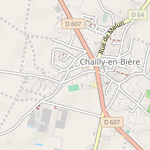
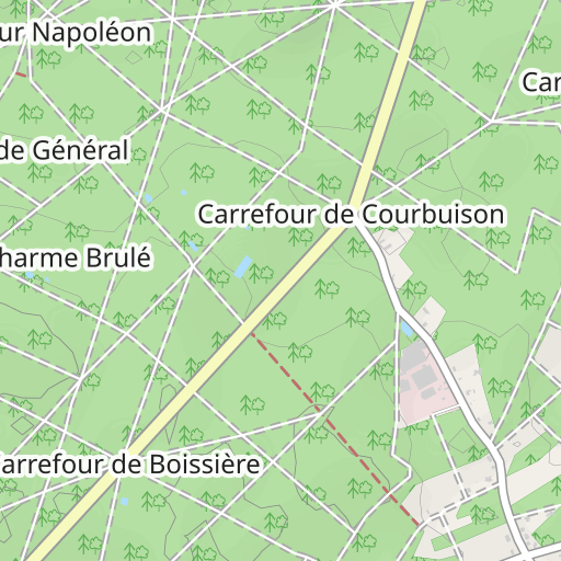
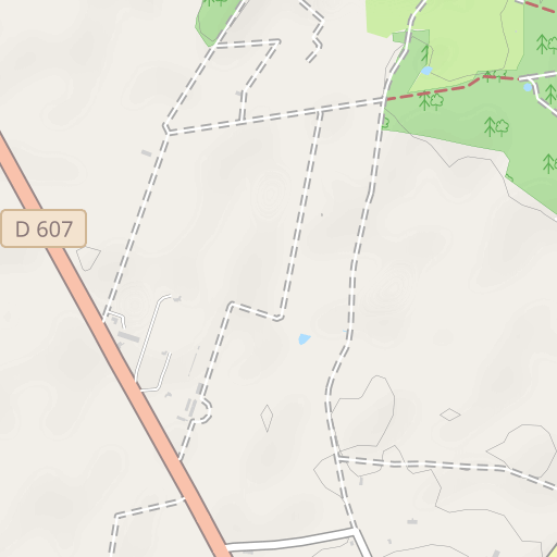
Fontainebleau Cuvier-Chatillon Canon 13-06-2012
ESCURSIONE A PIEDI
Fontainebleau Fontainebleau randoris
Created on 11/11/2015
0 reviews
| 0 photos
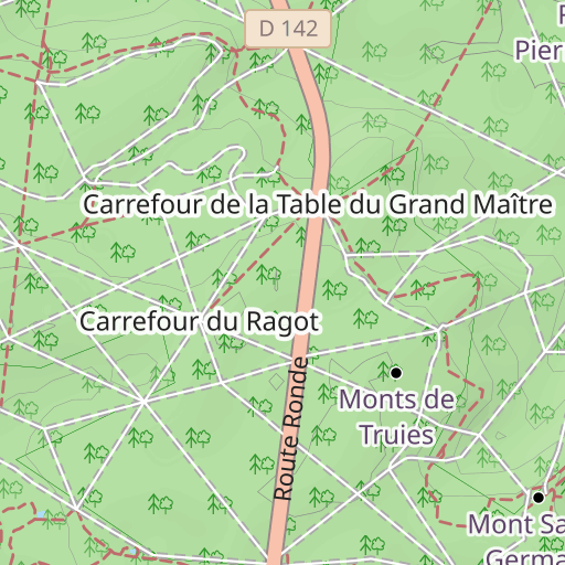
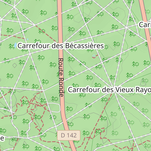
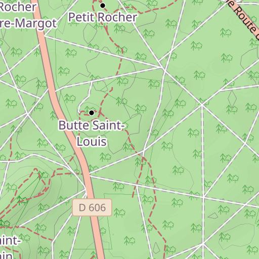
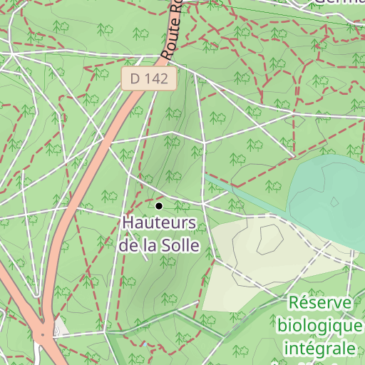
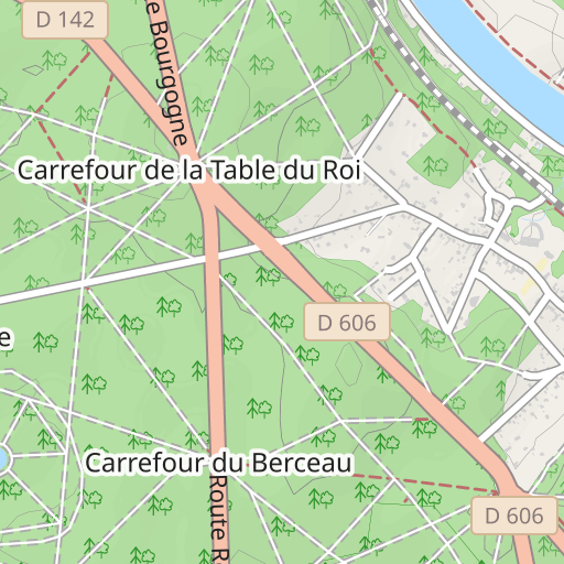
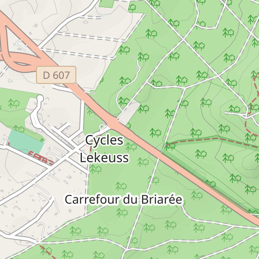
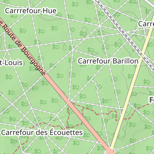
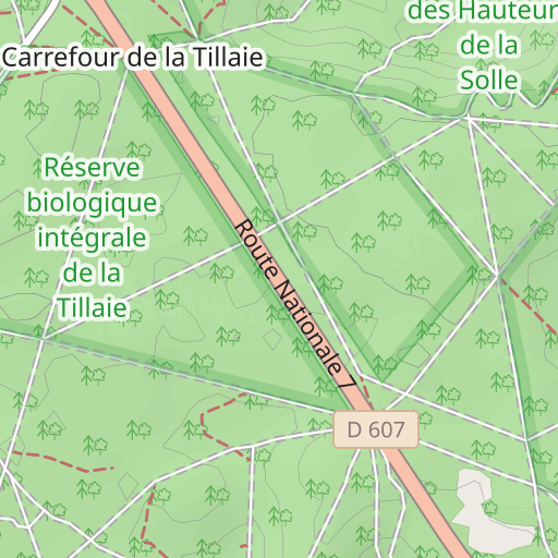
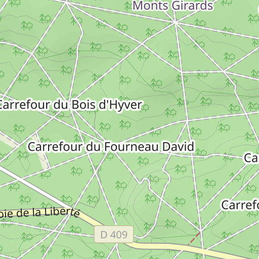
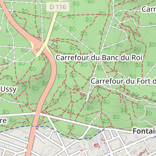
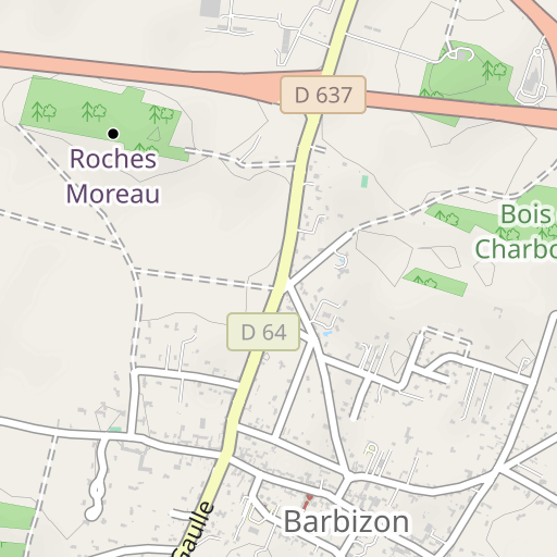
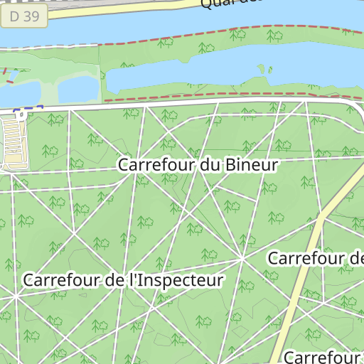
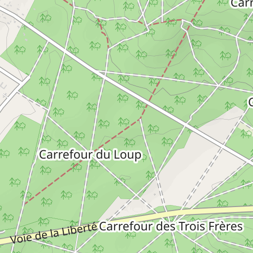
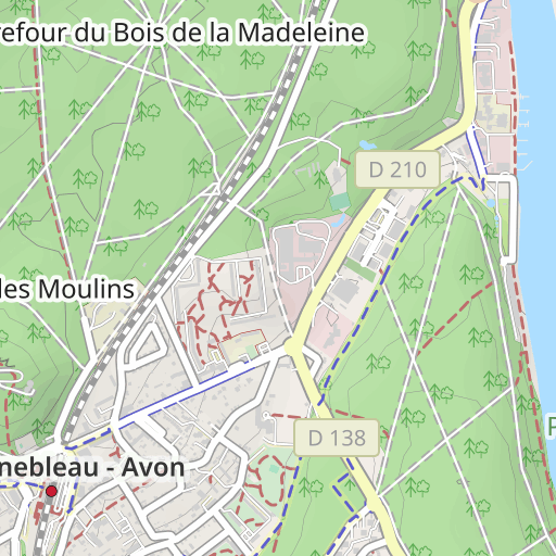
Scopri questo percorso in trekking di 19 km vicino a Fontainebleau. Presenta una salita cumulativa di oltre 180m. Prevedi circa 5 ore e 15 minuti per completare questo percorso.

Distance
19.02 km
Ascent
188 m
Descent
190 m
Min. altitude
86 m
Max. altitude
149 m


500 m
Route photos
The author has not added any photos to this route yet
Share your experience with photos taken along this route! Contact the author to suggest your images and bring this route to life for other enthusiasts.
A word from the author
Rating left by
randoris
      <p>Distance : 19.1 km</p>

<p>Dénivelé cumulé :  383 m</p>


<p>Fait le 11-11-2015</p>

<p>Fait le 13-06-2012</p>

<p>

</p>

<p>Avertissement</p>
User reviews (0)
Did you love one place in particular? Why not share your experience with others? By leaving a review, you can help the OpenRunner community discover incredible places or avoid disappointments. Do not hesitate to share your feelings, you can make a difference!


