Be the first to leave a review

#20085816
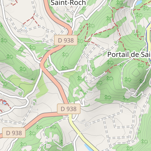
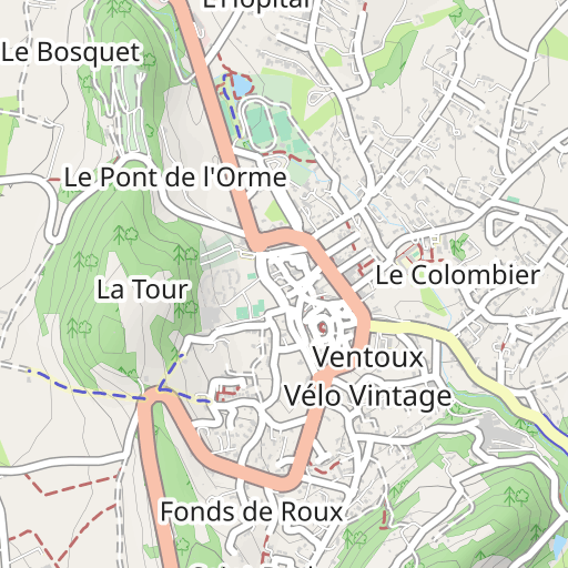
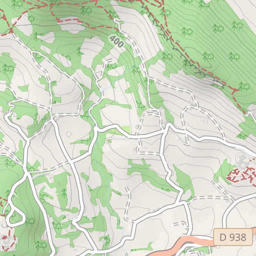
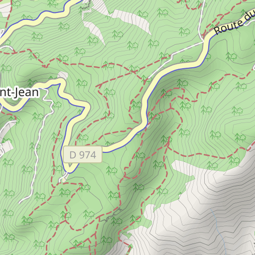
Malaucene oppidum
HIKING
Malaucène Malaucène domimazan
Created on 10/16/2024
0 reviews
| 0 photos
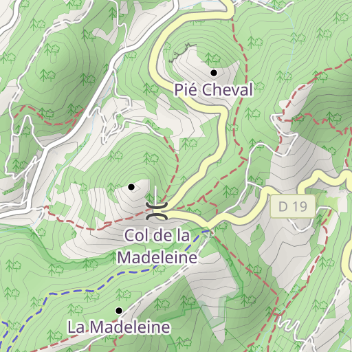
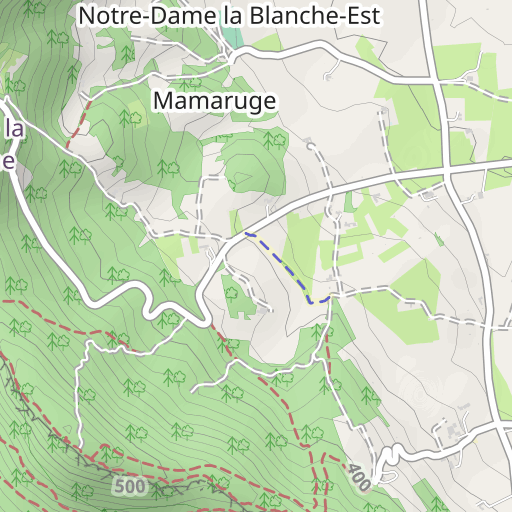
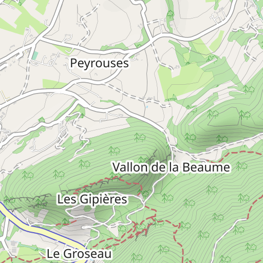
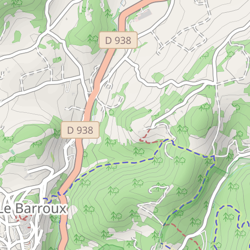
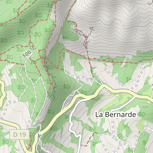
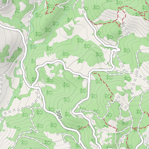
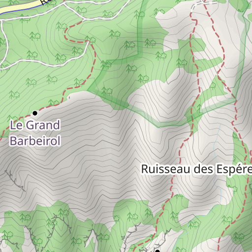
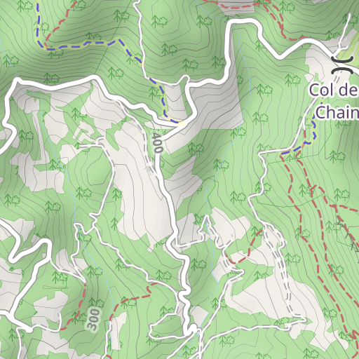
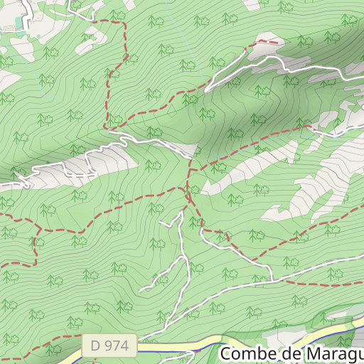
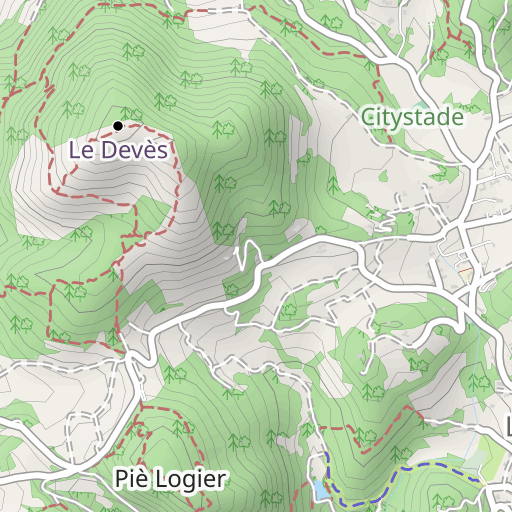
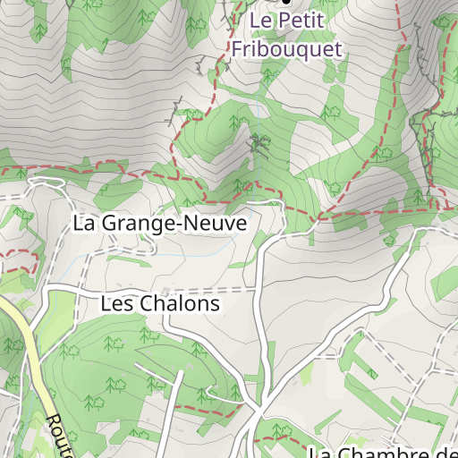
Discover this 11.3 km hiking route near Malaucène. It has a cumulative ascent of more than 300m. Allow about 3 hours and 35 minutes to complete this route.
Distance
11.30 km
Ascent
309 m
Descent
308 m
Min. altitude
331 m
Max. altitude
474 m
500 m
Route photos
The author has not added any photos to this route yet
Share your experience with photos taken along this route! Contact the author to suggest your images and bring this route to life for other enthusiasts.
A word from the author
The author has not added any information for this route yet
Encourage them to write a description of this route!
User reviews (0)
Did you love one place in particular? Why not share your experience with others? By leaving a review, you can help the OpenRunner community discover incredible places or avoid disappointments. Do not hesitate to share your feelings, you can make a difference!


