Be the first to leave a review

#20000224
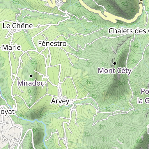
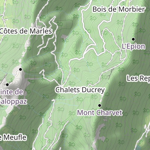
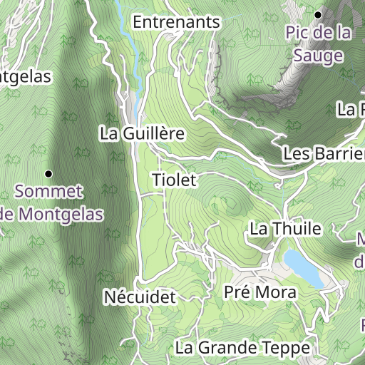
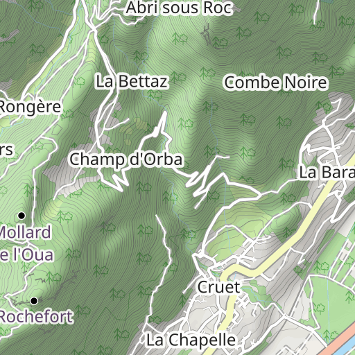
La Galoppaz par les Rochers de Bévéreau (B)
HIKING
Cruet Thoiry cbvacc
Created on 9/30/2024
0 reviews
| 0 photos
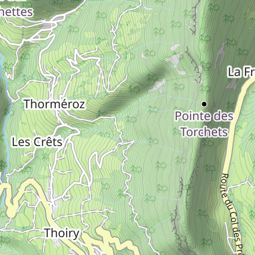
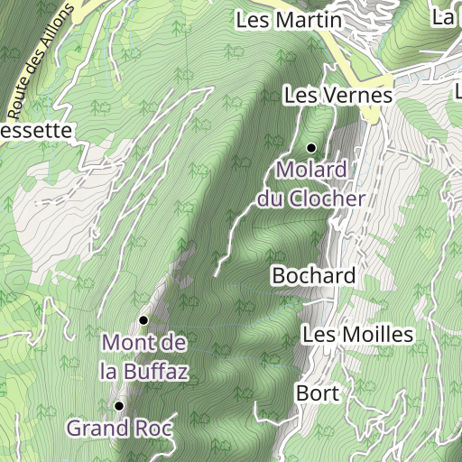
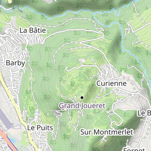
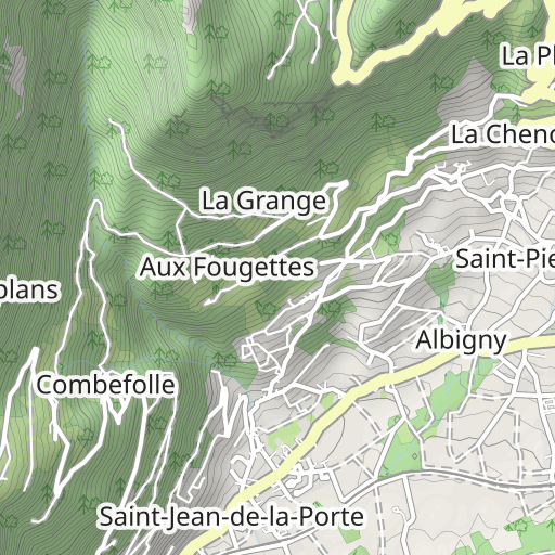
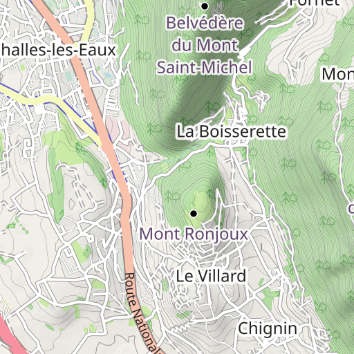
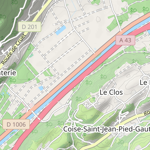
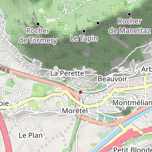
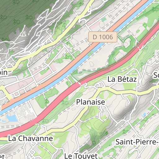
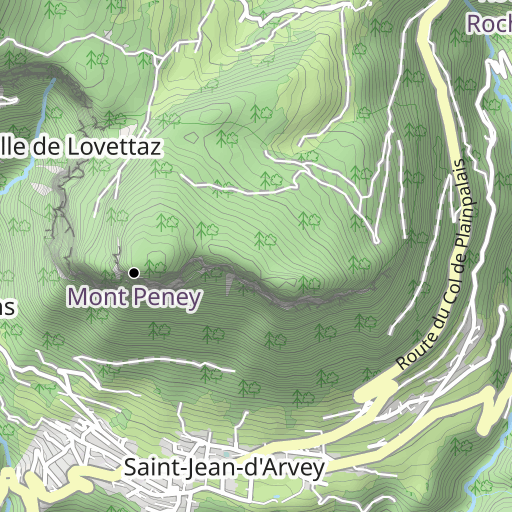
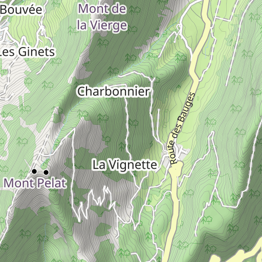
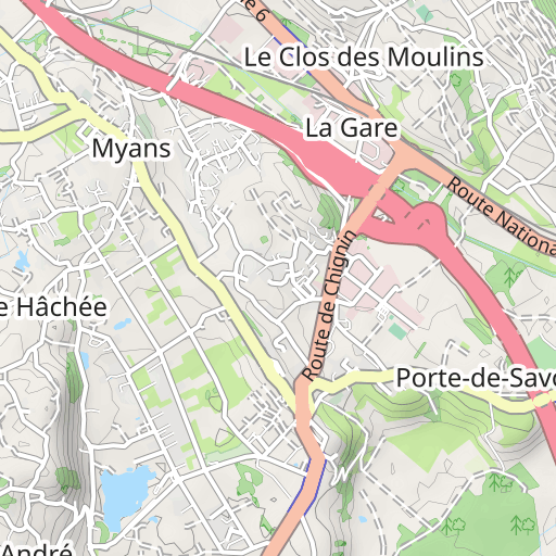
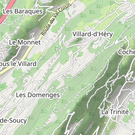
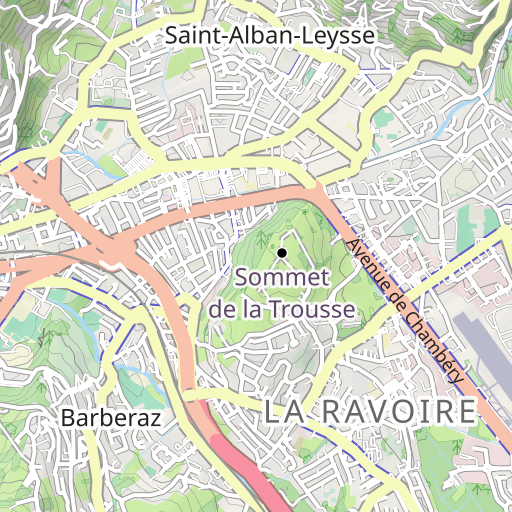
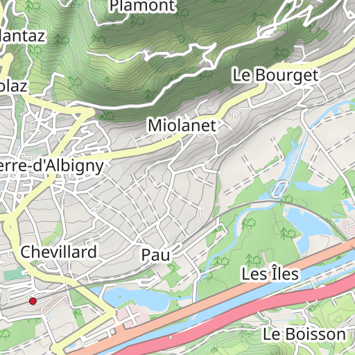
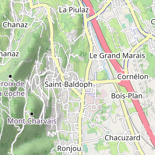
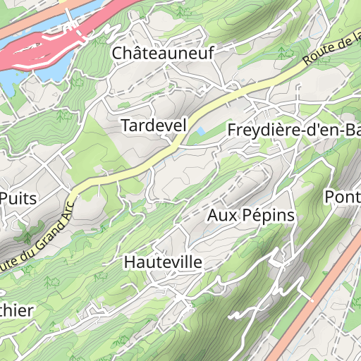
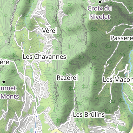
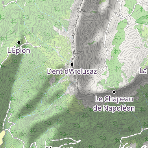
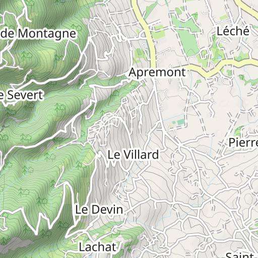
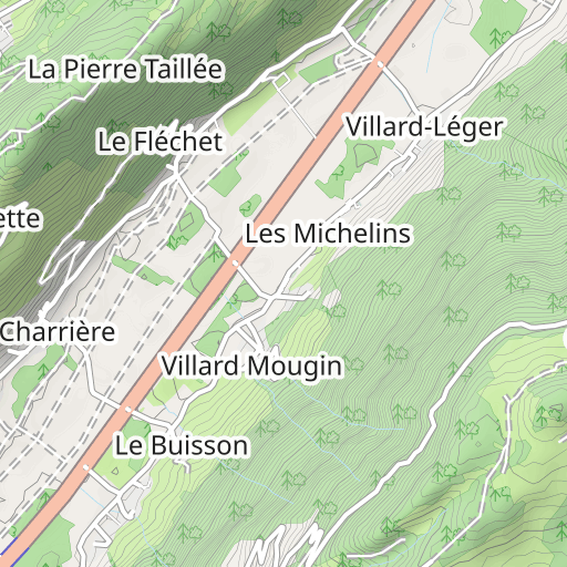
Discover this 12.7 km hiking route that starts in Cruet and ends in Thoiry. This route includes 10.4 km of paths and 1.8 km of forest tracks. It has a cumulative ascent of more than 1050m. Allow about 6 hours and 40 minutes to complete this route.
Distance
12.72 km
Ascent
1 056 m
Descent
817 m
Min. altitude
826 m
Max. altitude
1 652 m
1 km
Route photos
The author has not added any photos to this route yet
Share your experience with photos taken along this route! Contact the author to suggest your images and bring this route to life for other enthusiasts.
A word from the author
The author has not added any information for this route yet
Encourage them to write a description of this route!
User reviews (0)
Did you love one place in particular? Why not share your experience with others? By leaving a review, you can help the OpenRunner community discover incredible places or avoid disappointments. Do not hesitate to share your feelings, you can make a difference!


