Borrowed by the author

#19884907
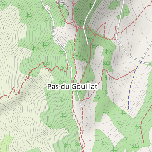
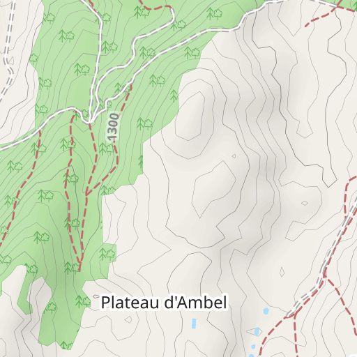
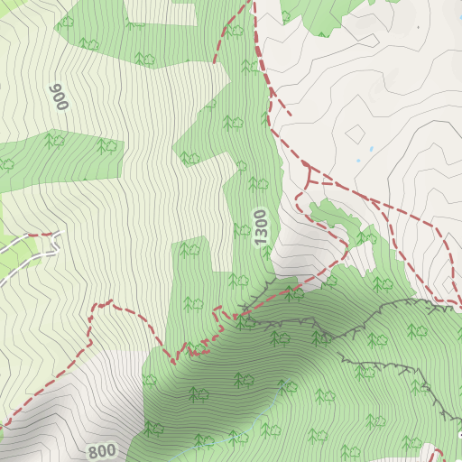
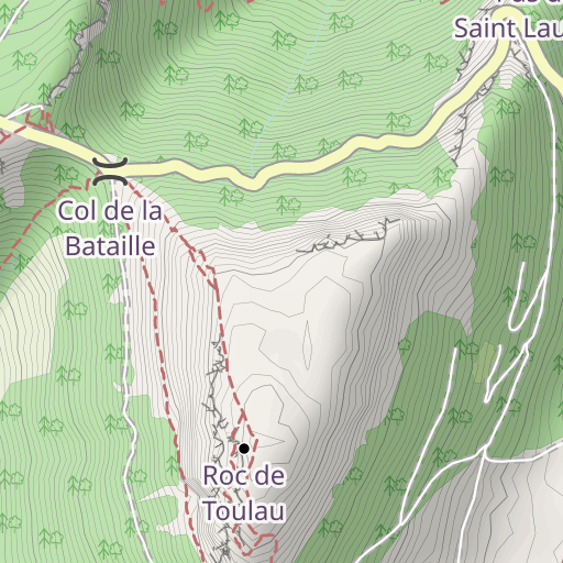
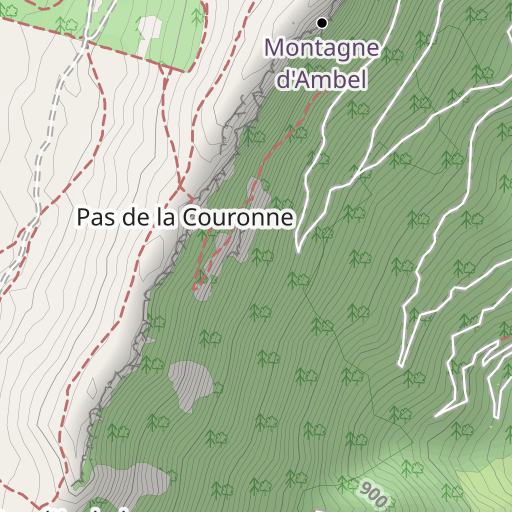
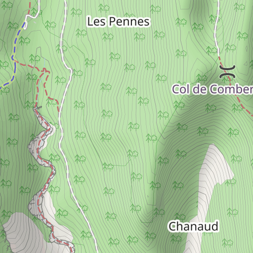
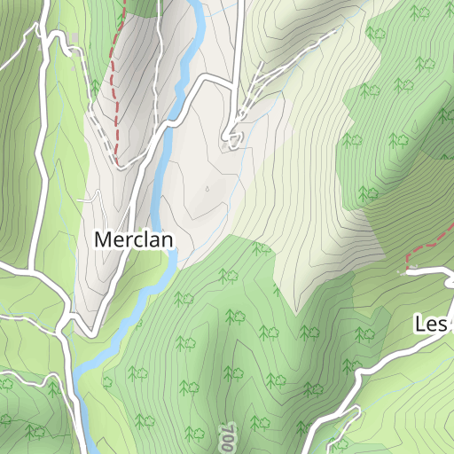
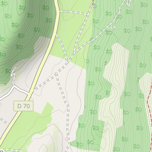
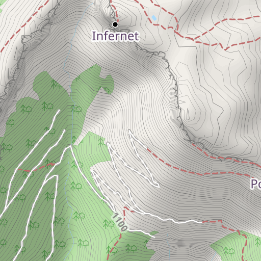
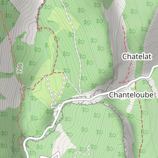
Tête de la dame depuis Omblèze-A
EXCURSIÓN PEDESTRE
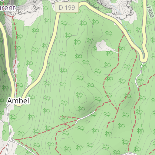
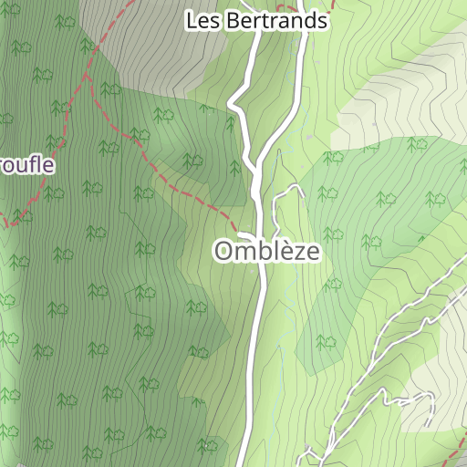
Omblèze Omblèze bobacou38
Created on 9/12/2024
0 reviews
| 0 photos
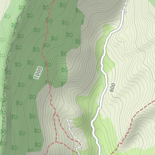
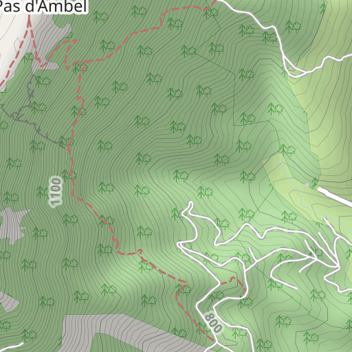
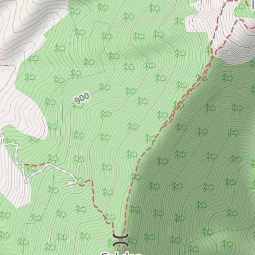
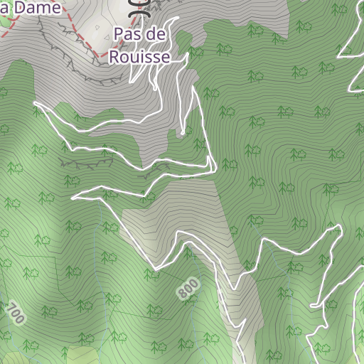
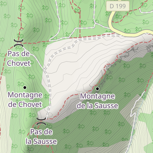
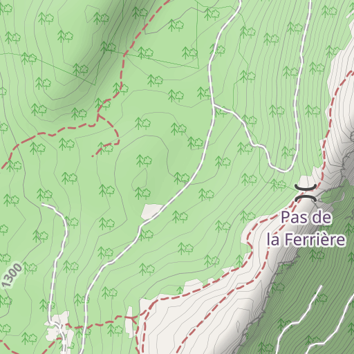
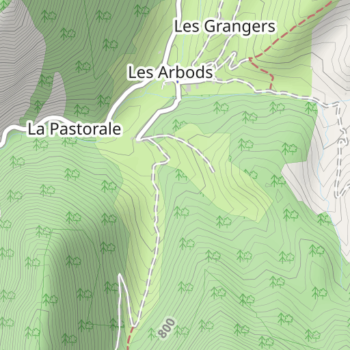
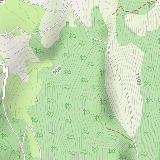
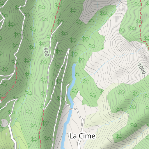
Descubre este recorrido de senderismo de 19 km cerca de Omblèze. Presenta un desnivel acumulado de más de 1070m. Calcula unas 8 horas para completar esta ruta.
Distance
19.04 km
Ascent
1 070 m
Descent
1 040 m
Min. altitude
651 m
Max. altitude
1 487 m


500 m
Route photos
The author has not added any photos to this route yet
Share your experience with photos taken along this route! Contact the author to suggest your images and bring this route to life for other enthusiasts.
A word from the author
Rating left by
bobacou38
Enregistrement du 10/09/2024
User reviews (0)
Did you love one place in particular? Why not share your experience with others? By leaving a review, you can help the OpenRunner community discover incredible places or avoid disappointments. Do not hesitate to share your feelings, you can make a difference!


