Borrowed by the author

#19837860
Parcours VTT 44 km rando 2024
MTB
Saint-Martin-en-Haut Saint-Martin-en-Haut cmsm69850
Created on 9/5/2024
0 reviews
| 0 photos
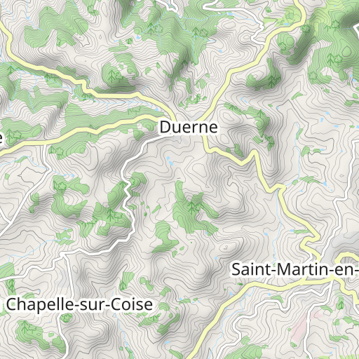
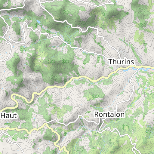
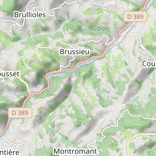
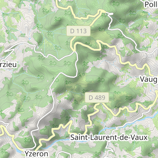
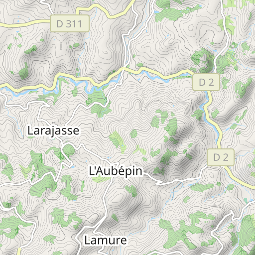
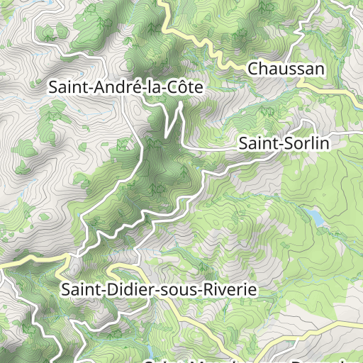
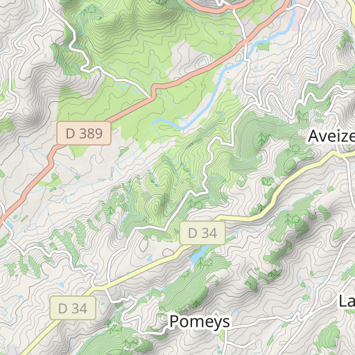
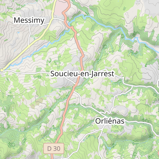
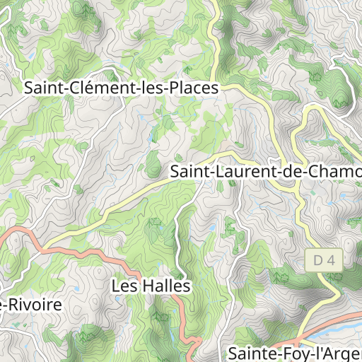
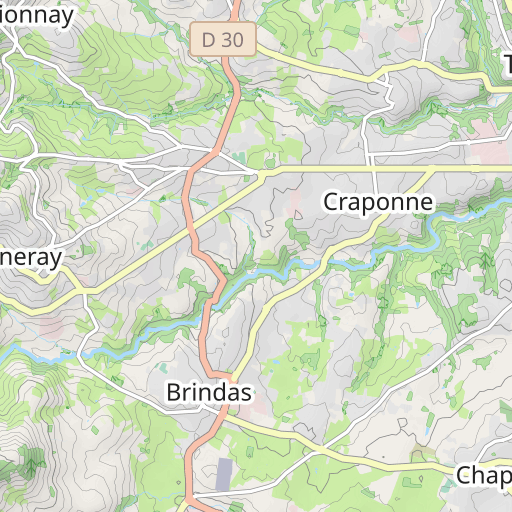
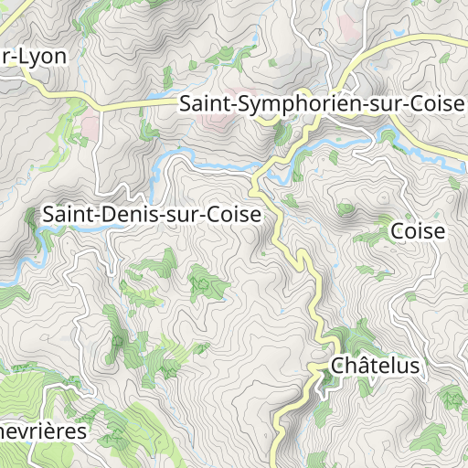
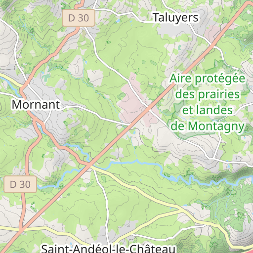
Scopri questo percorso in mountain bike di 43,3 km vicino a Saint-Martin-en-Haut. Questo percorso si snoda su 19,2 km di piste forestali e 15,5 km di strade. Presenta una salita cumulativa di oltre 1160m.

Distance
43.25 km
Ascent
1 161 m
Descent
1 159 m
Min. altitude
484 m
Max. altitude
876 m
2 km
Route photos
The author has not added any photos to this route yet
Share your experience with photos taken along this route! Contact the author to suggest your images and bring this route to life for other enthusiasts.
A word from the author
The author has not added any information for this route yet
Encourage them to write a description of this route!
User reviews (0)
Did you love one place in particular? Why not share your experience with others? By leaving a review, you can help the OpenRunner community discover incredible places or avoid disappointments. Do not hesitate to share your feelings, you can make a difference!


