
#19828601
Parcours 28 kms Rando 2024
HIKING
Saint-Martin-en-Haut Saint-Martin-en-Haut cmsm69850
Created on 9/3/2024
4.0 1 reviews
| 0 photos
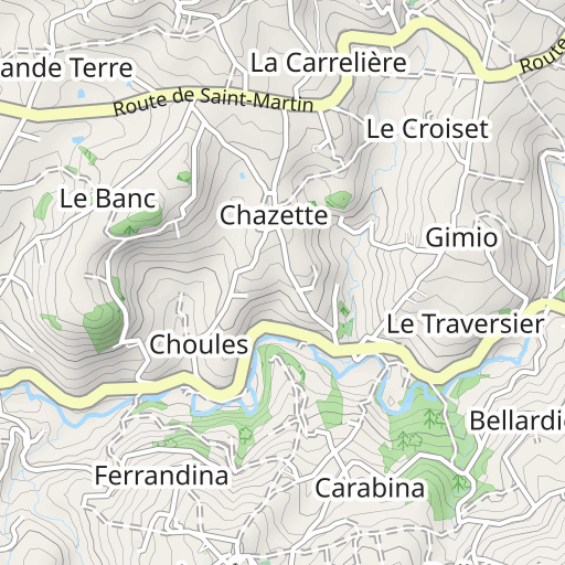
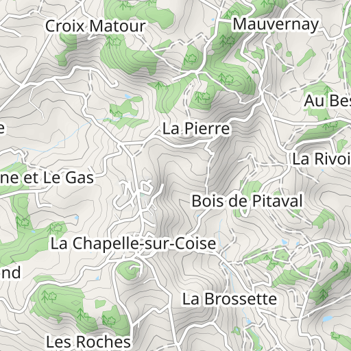
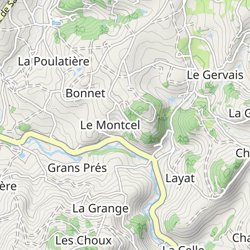
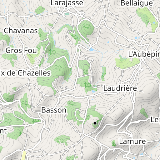
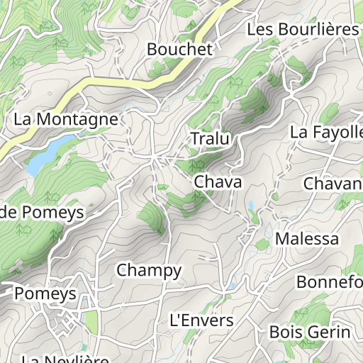
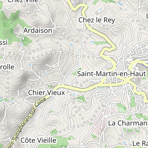
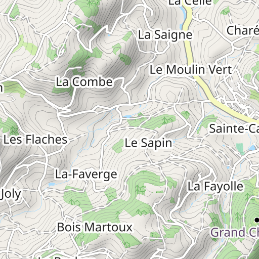
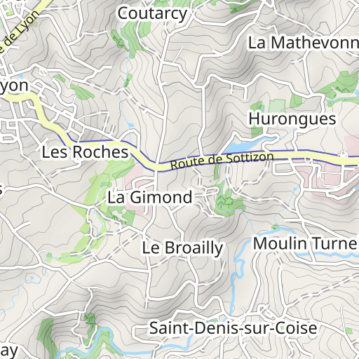
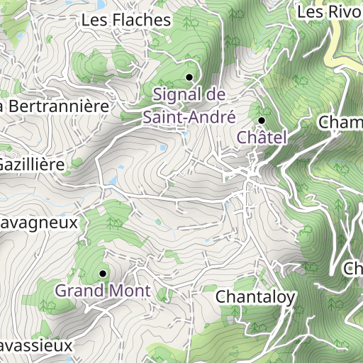
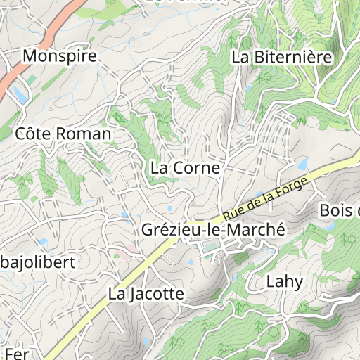
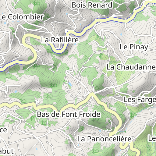
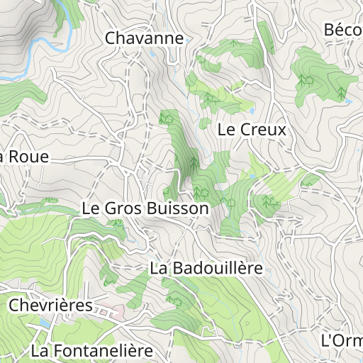
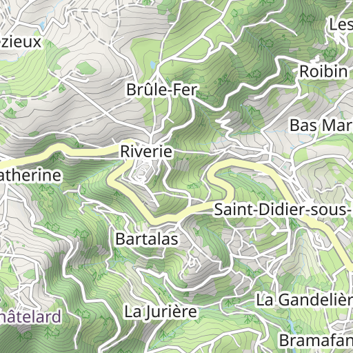
Discover this 28.4 km hiking route near Saint-Martin-en-Haut. This route includes 13.8 km of roads and 11.8 km of forest tracks. It has a cumulative ascent of more than 710m. Allow about 8 hours and 55 minutes to complete this route.

Distance
28.36 km
Ascent
710 m
Descent
708 m
Min. altitude
525 m
Max. altitude
797 m


1 km
Route photos
The author has not added any photos to this route yet
Share your experience with photos taken along this route! Contact the author to suggest your images and bring this route to life for other enthusiasts.
A word from the author
The author has not added any information for this route yet
Encourage them to write a description of this route!
User reviews (1) 4.0
marie27514
October 27, 2024
telephonr decharge..manque la fin


