Be the first to leave a review
![10094 le PlanchatSt BAsil Chauffour La Bertine F](/_nuxt/img/town.8a41dac.png)
#19667483
10094 le PlanchatSt BAsil Chauffour La Bertine F
CYCLISME - ROUTE
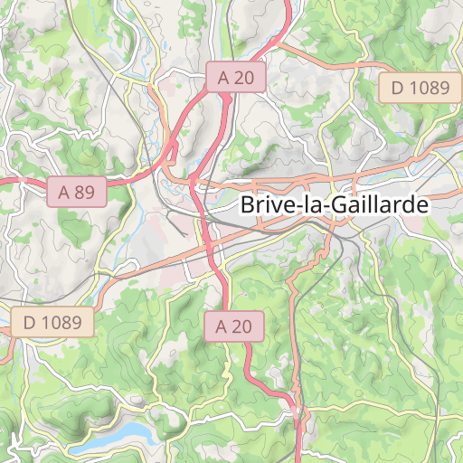
Brive-la-Gaillarde Brive-la-Gaillarde cosnac
Created on 8/14/2024
0 reviews
| 0 photos
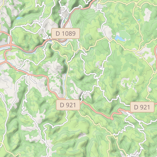
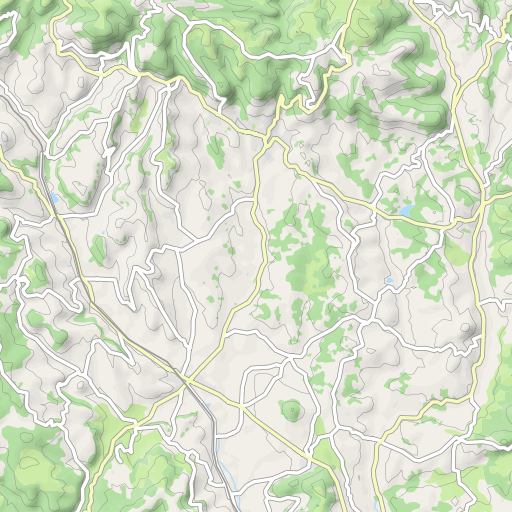
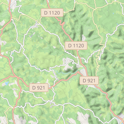
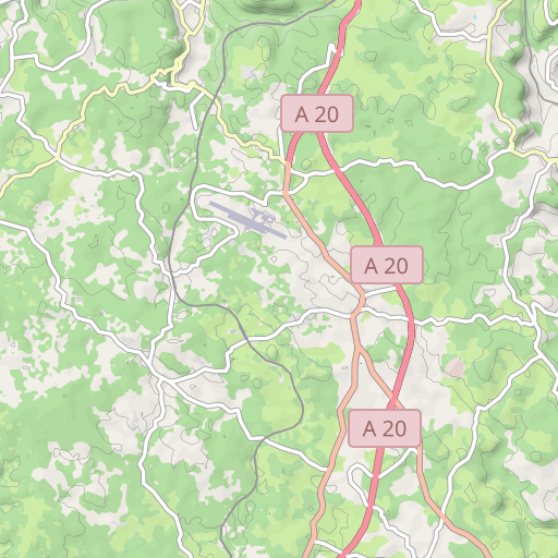
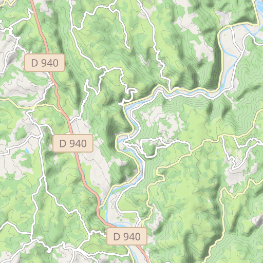
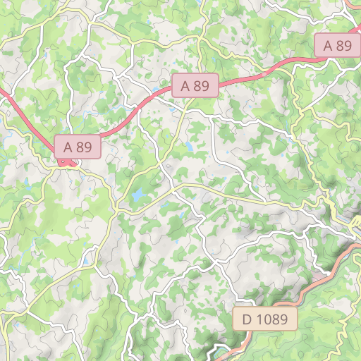
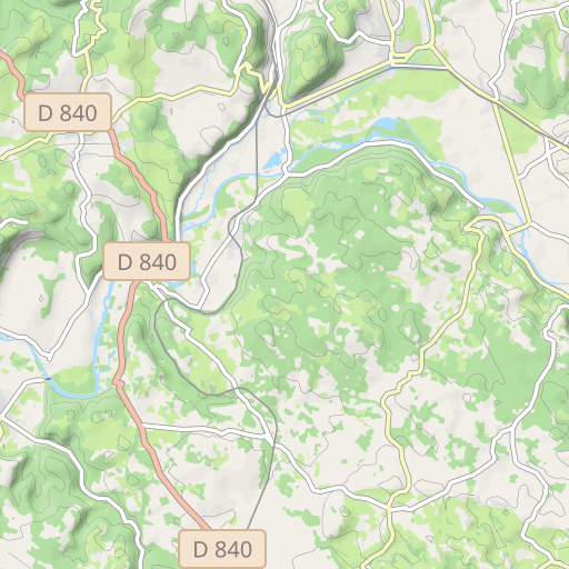
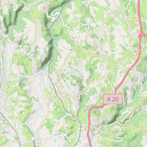
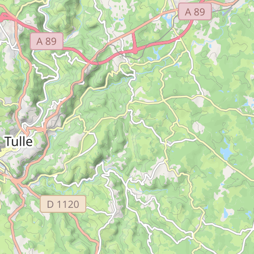
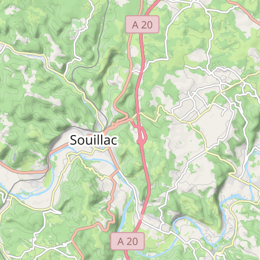
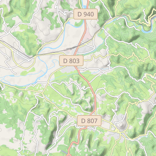
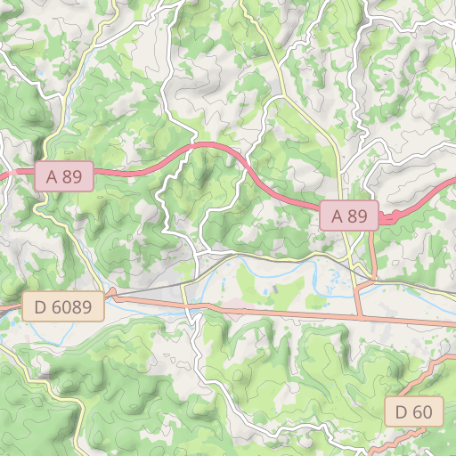
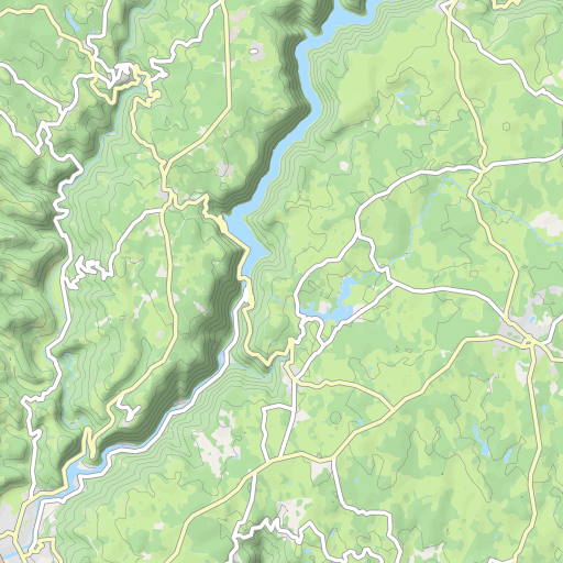
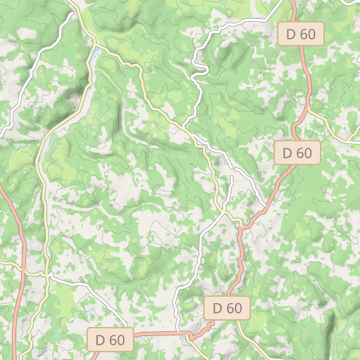
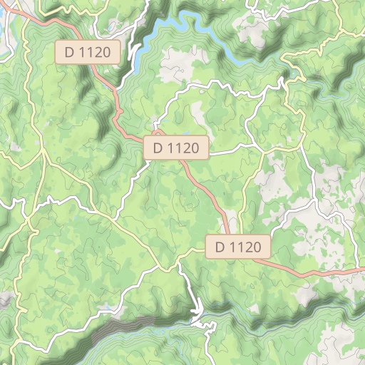
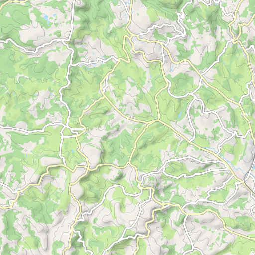
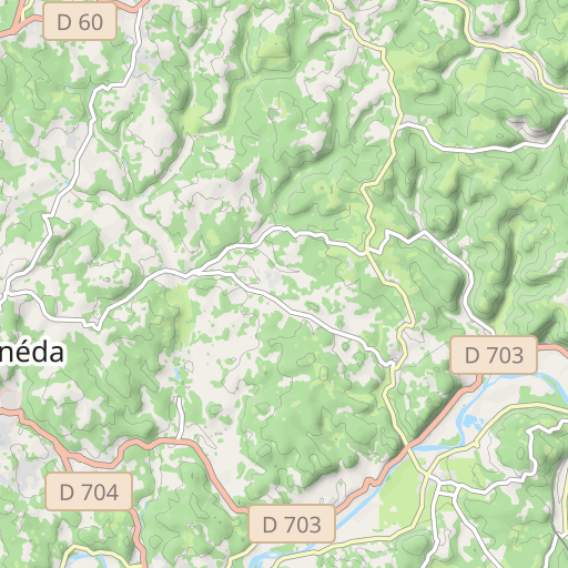
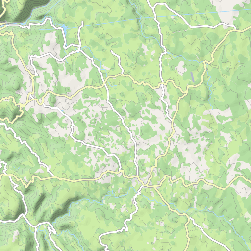
Découvrez ce parcours de vélo de 60 km à proximité de Brive-la-Gaillarde. Ce parcours emprunte uniquement des routes. Il présente une ascension cumulée de plus de 710m.
Distance
60.04 km
Ascent
714 m
Descent
714 m
Min. altitude
110 m
Max. altitude
389 m
![](https://tile.thunderforest.com/openrunner-c4e/11/1033/735@2x.png?apikey=43cfba598a6c4bb29b84437d9659f53b)
![](https://tile.thunderforest.com/openrunner-c4e/11/1033/736@2x.png?apikey=43cfba598a6c4bb29b84437d9659f53b)
![](https://tile.thunderforest.com/openrunner-c4e/11/1032/735@2x.png?apikey=43cfba598a6c4bb29b84437d9659f53b)
![](https://tile.thunderforest.com/openrunner-c4e/11/1034/735@2x.png?apikey=43cfba598a6c4bb29b84437d9659f53b)
![](https://tile.thunderforest.com/openrunner-c4e/11/1032/736@2x.png?apikey=43cfba598a6c4bb29b84437d9659f53b)
![](https://tile.thunderforest.com/openrunner-c4e/11/1034/736@2x.png?apikey=43cfba598a6c4bb29b84437d9659f53b)
![](https://tile.thunderforest.com/openrunner-c4e/11/1033/734@2x.png?apikey=43cfba598a6c4bb29b84437d9659f53b)
![](https://tile.thunderforest.com/openrunner-c4e/11/1033/737@2x.png?apikey=43cfba598a6c4bb29b84437d9659f53b)
![](https://tile.thunderforest.com/openrunner-c4e/11/1032/734@2x.png?apikey=43cfba598a6c4bb29b84437d9659f53b)
![](https://tile.thunderforest.com/openrunner-c4e/11/1034/734@2x.png?apikey=43cfba598a6c4bb29b84437d9659f53b)
![](https://tile.thunderforest.com/openrunner-c4e/11/1032/737@2x.png?apikey=43cfba598a6c4bb29b84437d9659f53b)
![](https://tile.thunderforest.com/openrunner-c4e/11/1034/737@2x.png?apikey=43cfba598a6c4bb29b84437d9659f53b)
![](https://tile.thunderforest.com/openrunner-c4e/11/1031/735@2x.png?apikey=43cfba598a6c4bb29b84437d9659f53b)
![](https://tile.thunderforest.com/openrunner-c4e/11/1035/735@2x.png?apikey=43cfba598a6c4bb29b84437d9659f53b)
![](https://tile.thunderforest.com/openrunner-c4e/11/1031/736@2x.png?apikey=43cfba598a6c4bb29b84437d9659f53b)
![](https://tile.thunderforest.com/openrunner-c4e/11/1035/736@2x.png?apikey=43cfba598a6c4bb29b84437d9659f53b)
![](https://tile.thunderforest.com/openrunner-c4e/11/1031/734@2x.png?apikey=43cfba598a6c4bb29b84437d9659f53b)
![](https://tile.thunderforest.com/openrunner-c4e/11/1035/734@2x.png?apikey=43cfba598a6c4bb29b84437d9659f53b)
![](https://tile.thunderforest.com/openrunner-c4e/11/1031/737@2x.png?apikey=43cfba598a6c4bb29b84437d9659f53b)
![](https://tile.thunderforest.com/openrunner-c4e/11/1035/737@2x.png?apikey=43cfba598a6c4bb29b84437d9659f53b)
5 km
Route photos
The author has not added any photos to this route yet
Share your experience with photos taken along this route! Contact the author to suggest your images and bring this route to life for other enthusiasts.
A word from the author
The author has not added any information for this route yet
Encourage them to write a description of this route!
User reviews (0)
Did you love one place in particular? Why not share your experience with others? By leaving a review, you can help the OpenRunner community discover incredible places or avoid disappointments. Do not hesitate to share your feelings, you can make a difference!