Be the first to leave a review

#19644350
N 152-75 kms
ROAD CYCLING
Dinard Dinard dinardcyclo
Created on 8/11/2024
0 reviews
| 0 photos
Discover this 74.8 km bike route near Dinard. This route includes 72.8 km of roads. It has a cumulative ascent of more than 640m.
Distance
74.83 km
Ascent
646 m
Descent
646 m
Min. altitude
0 m
Max. altitude
74 m


Café
3 km
Route photos
The author has not added any photos to this route yet
Share your experience with photos taken along this route! Contact the author to suggest your images and bring this route to life for other enthusiasts.
A word from the author
Rating left by
dinardcyclo
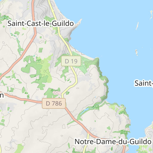
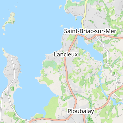
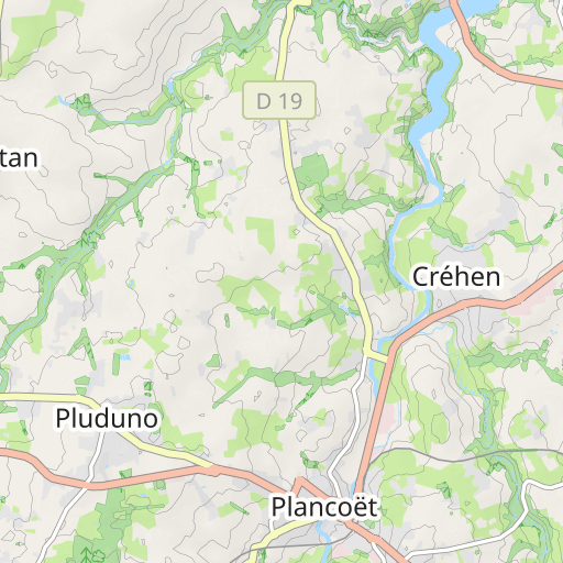
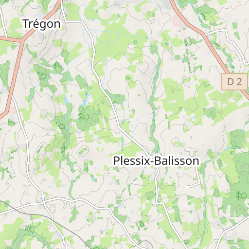
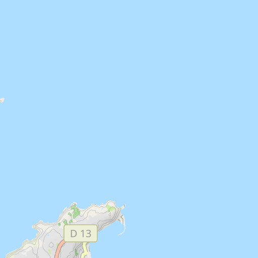
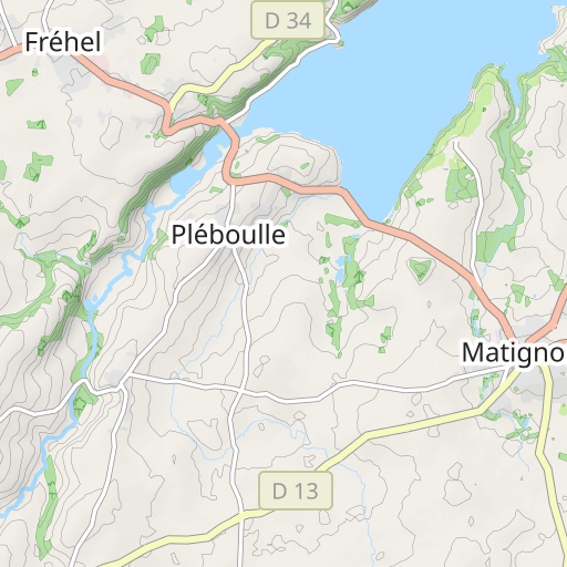
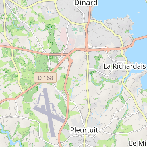
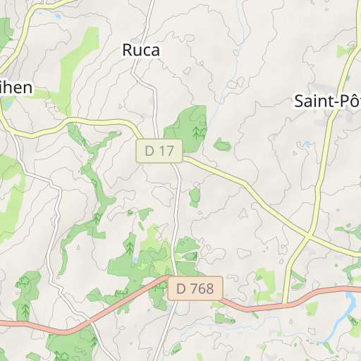
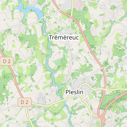
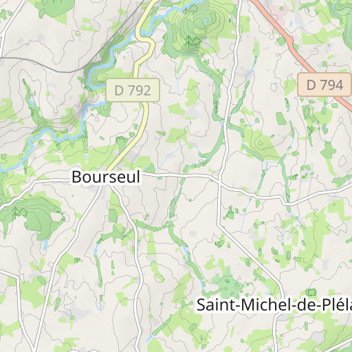
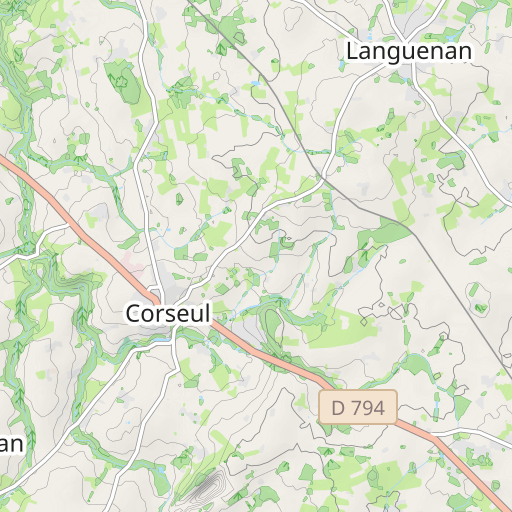
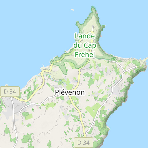
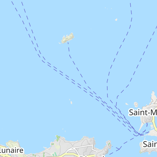
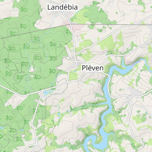
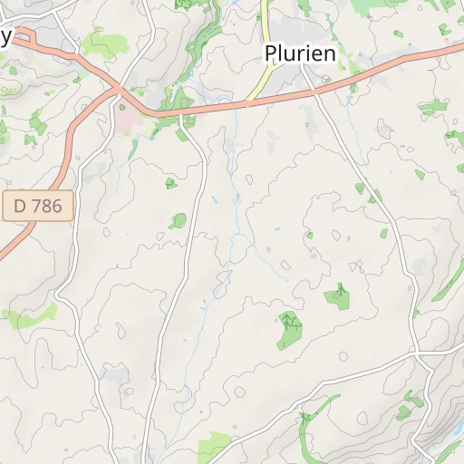
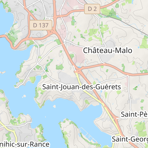
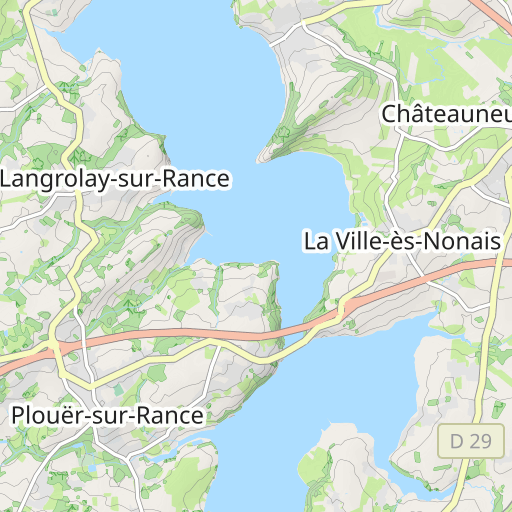
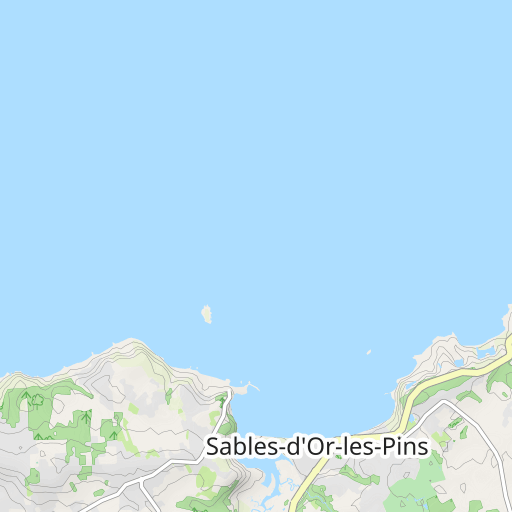
      Spot Dinard-Le pont-St Briac le stade-Le pont martin-Ploubalay-La Giclais-Créhen-La ville orien-La tourelle St Lormel-La corbinais-L'hopital-Matignon(café)-St Pôtan-La rochette-Pluduno-Créhen-Le rocher-St Cadreuc-La vallée-Le pont arson-Ploubalay-Lancieux-St Briac-La ville carrée-St Lunaire-Côte de beaumont-La ville es quelmées-La touesse-spot Dinard 75kms
https://www.openrunner.com/route-details/19644350
https://connect.garmin.com/modern/course/298984459
User reviews (0)
Did you love one place in particular? Why not share your experience with others? By leaving a review, you can help the OpenRunner community discover incredible places or avoid disappointments. Do not hesitate to share your feelings, you can make a difference!


