Be the first to leave a review

#19517495
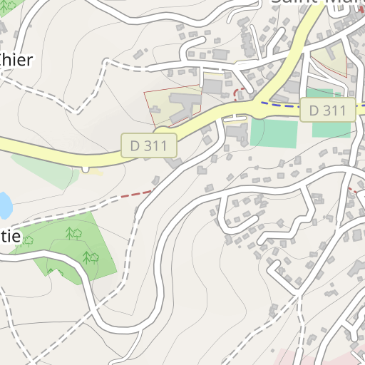
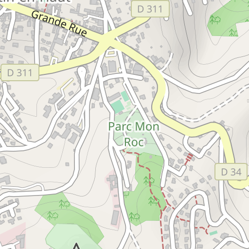
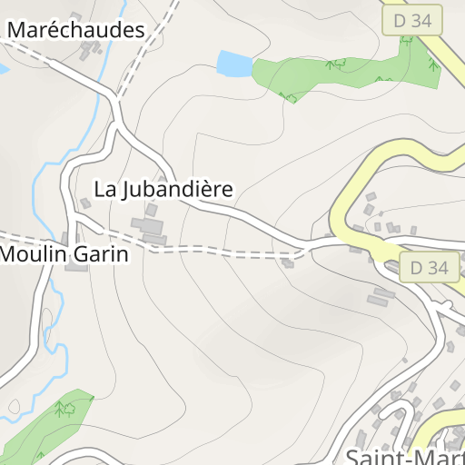
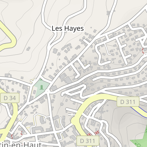
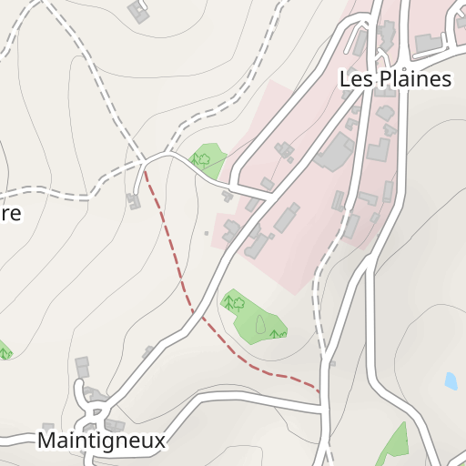
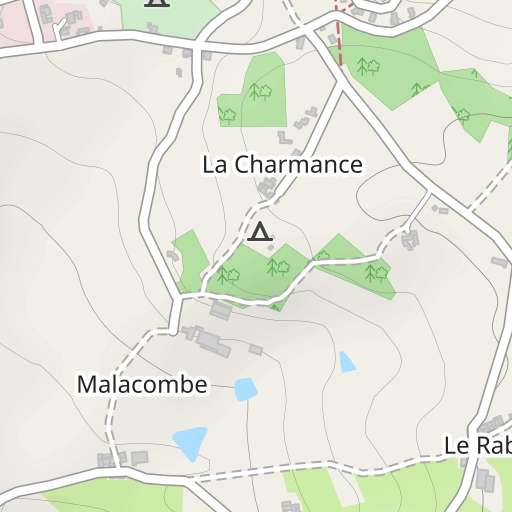
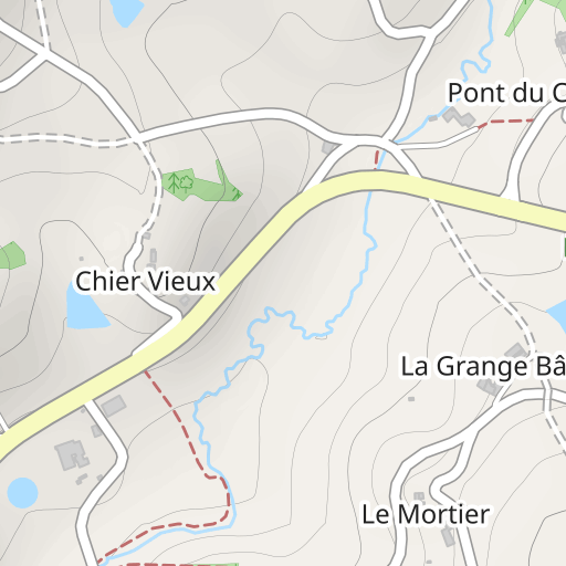
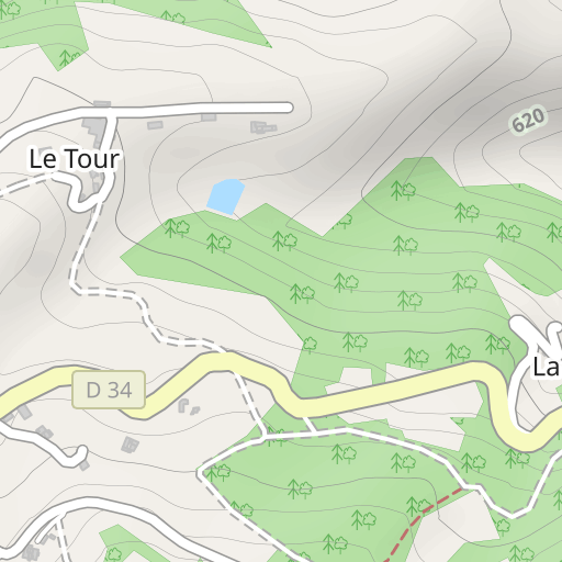
Parcours 3.34km Rando 2024
EXCURSIÓN PEDESTRE
Saint-Martin-en-Haut Saint-Martin-en-Haut cmsm69850
Created on 7/26/2024
0 reviews
| 0 photos
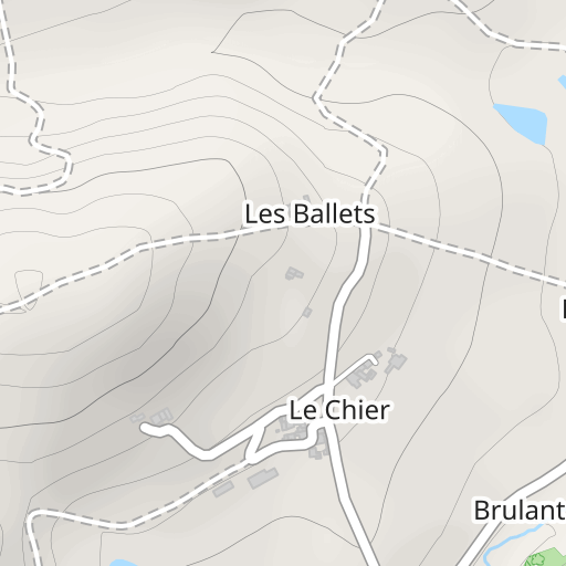
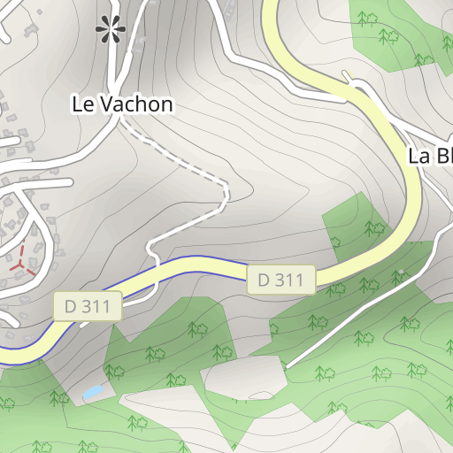
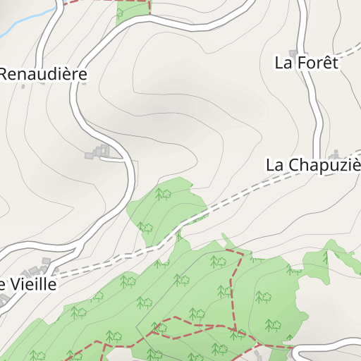
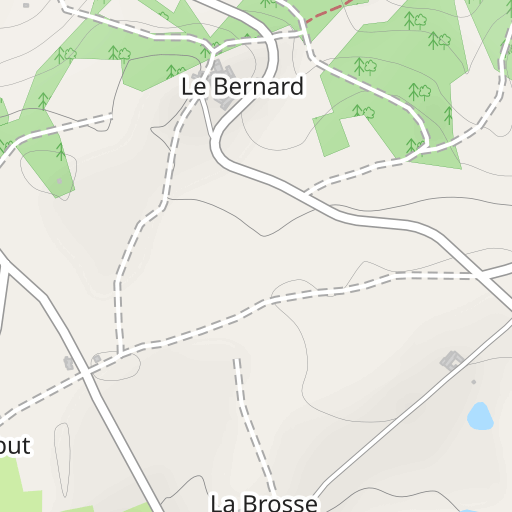
Descubre este recorrido de senderismo de 3,3 km cerca de Saint-Martin-en-Haut. Este recorrido transcurre durante 2,6 km por carreteras y 0,8 km por pistas forestales. Calcula unas 1 hora para completar esta ruta.

Distance
3.34 km
Ascent
72 m
Descent
71 m
Min. altitude
720 m
Max. altitude
784 m
300 m
Route photos
The author has not added any photos to this route yet
Share your experience with photos taken along this route! Contact the author to suggest your images and bring this route to life for other enthusiasts.
A word from the author
The author has not added any information for this route yet
Encourage them to write a description of this route!
User reviews (0)
Did you love one place in particular? Why not share your experience with others? By leaving a review, you can help the OpenRunner community discover incredible places or avoid disappointments. Do not hesitate to share your feelings, you can make a difference!


