Borrowed by the author

#18571179
Ne Dame du Mont-EJ GPS
ESCURSIONE A PIEDI
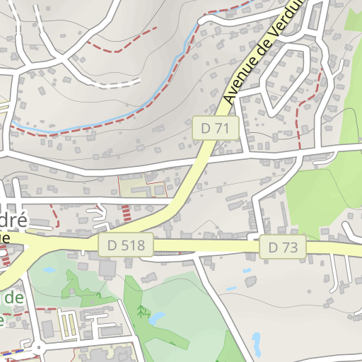
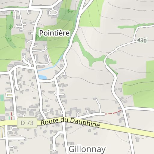
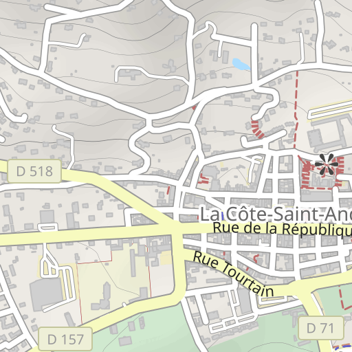
La Côte-Saint-André La Côte-Saint-André bobacou38
Created on 3/19/2024
0 reviews
| 0 photos
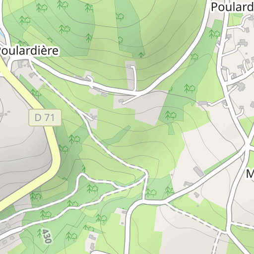
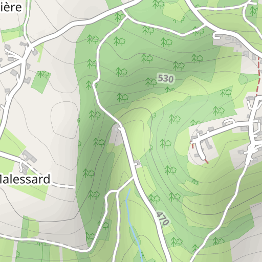
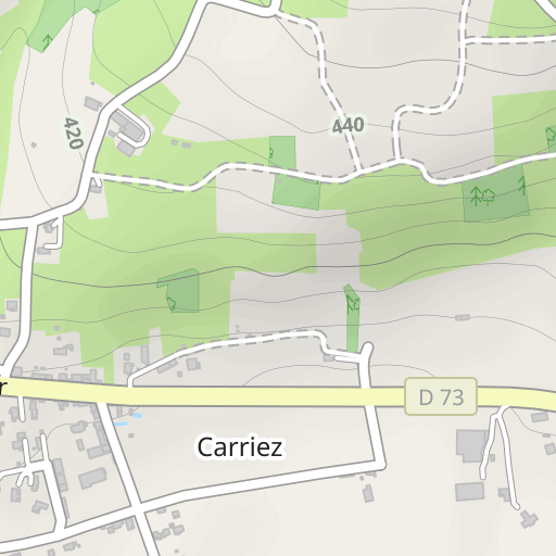
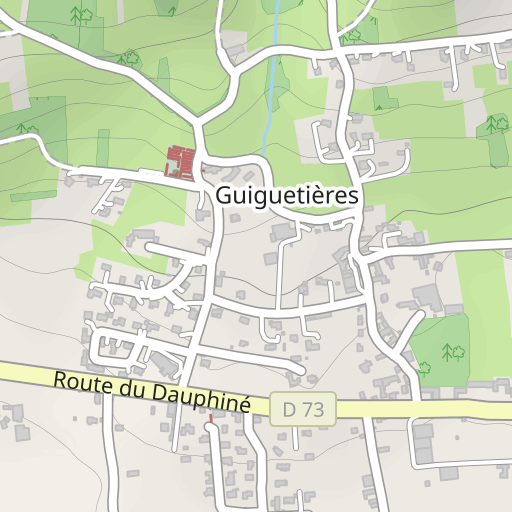
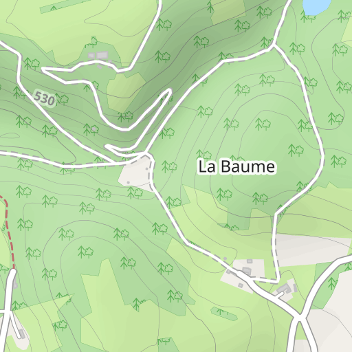
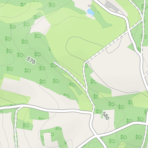
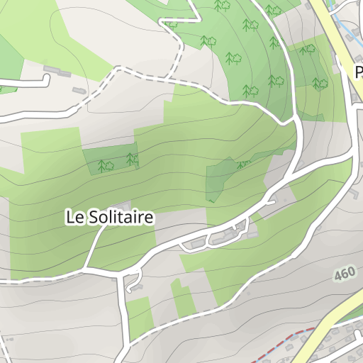
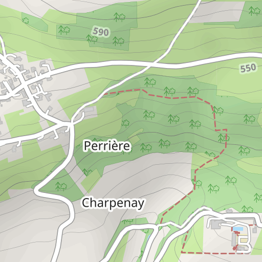
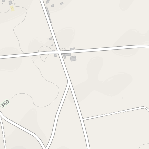
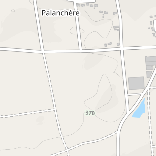
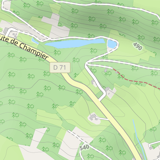
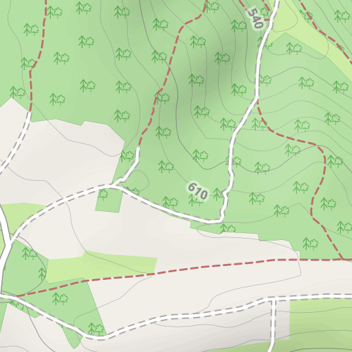
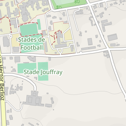
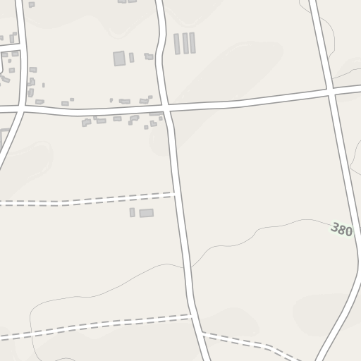
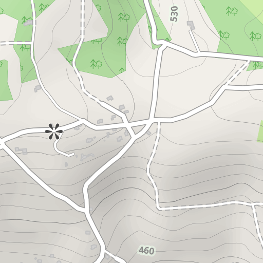
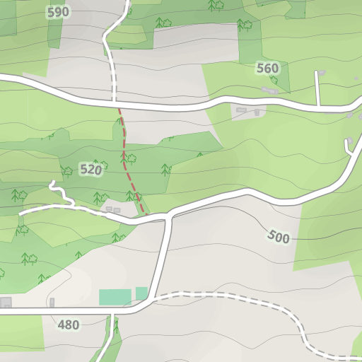
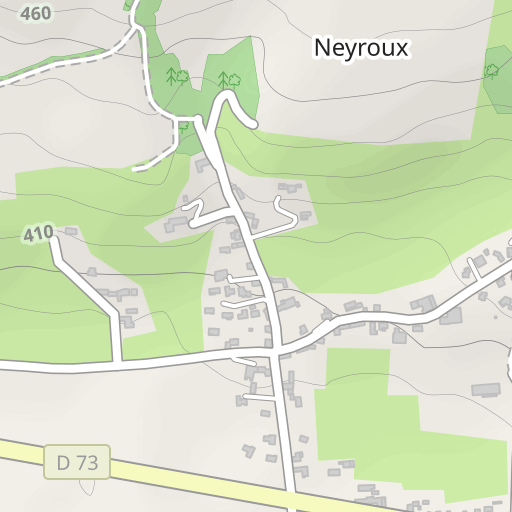
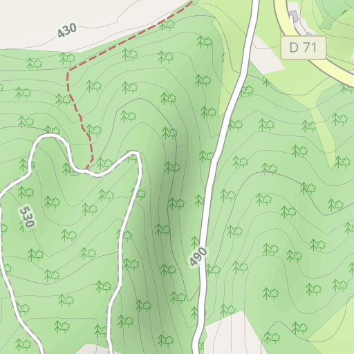
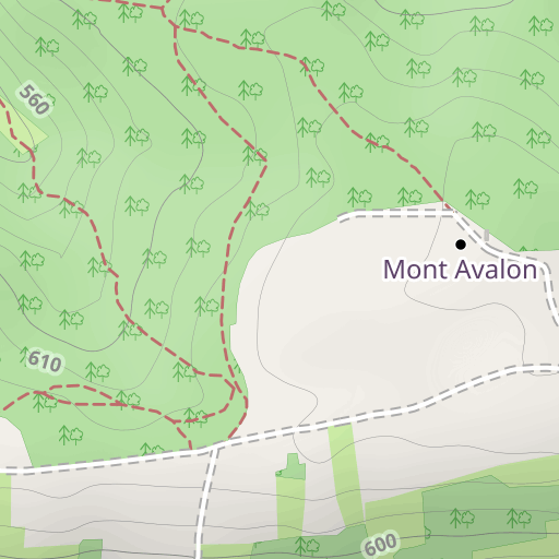
Scopri questo percorso in trekking di 9,2 km vicino a La Côte-Saint-André. Presenta una salita cumulativa di oltre 250m. Prevedi circa 2 ore e 55 minuti per completare questo percorso.
Distance
9.22 km
Ascent
251 m
Descent
250 m
Min. altitude
415 m
Max. altitude
621 m
300 m
Route photos
The author has not added any photos to this route yet
Share your experience with photos taken along this route! Contact the author to suggest your images and bring this route to life for other enthusiasts.
A word from the author
Rating left by
bobacou38
Enregistrement du 19/03/2024
User reviews (0)
Did you love one place in particular? Why not share your experience with others? By leaving a review, you can help the OpenRunner community discover incredible places or avoid disappointments. Do not hesitate to share your feelings, you can make a difference!


