Be the first to leave a review

#14928530
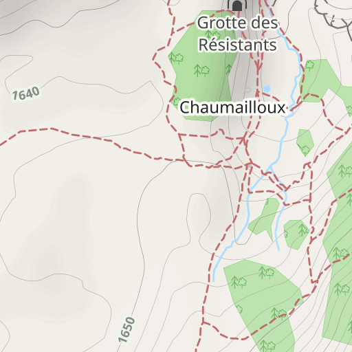
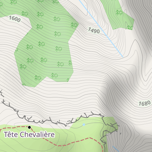
Pas de l'Aiguille
HIKING
Chichilianne Chichilianne office_de_tourisme_du_trièves
Created on 6/9/2022
0 reviews
| 3 photos 


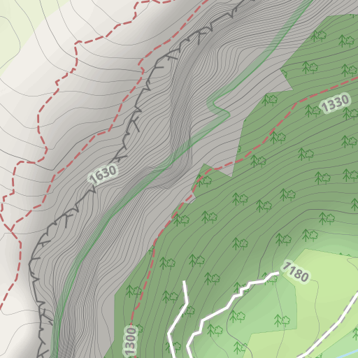
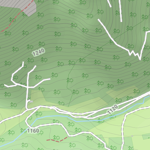
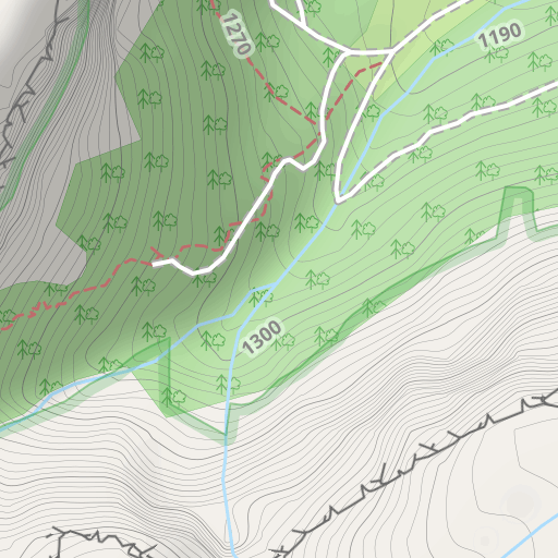
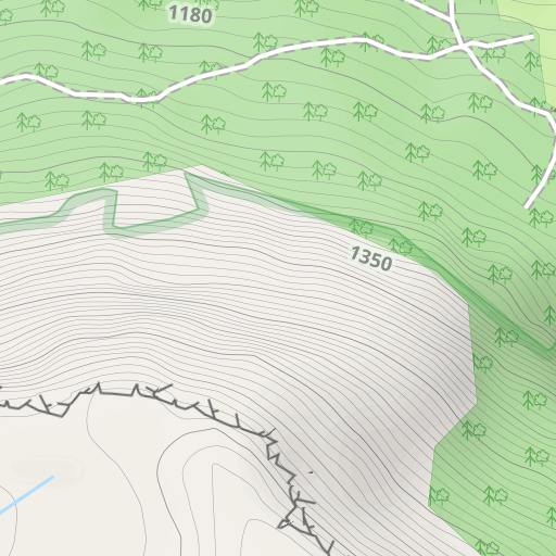
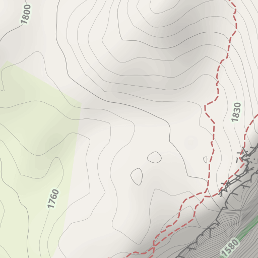
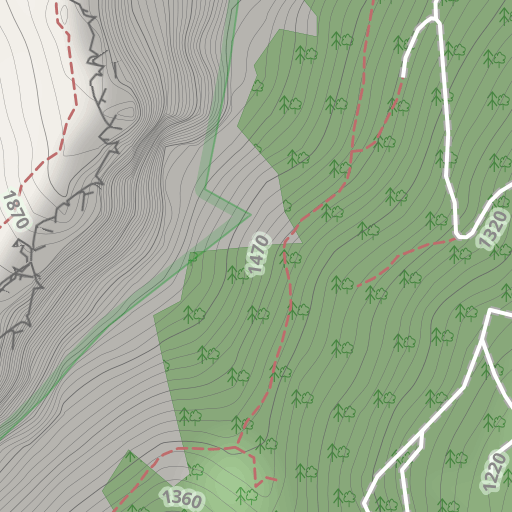
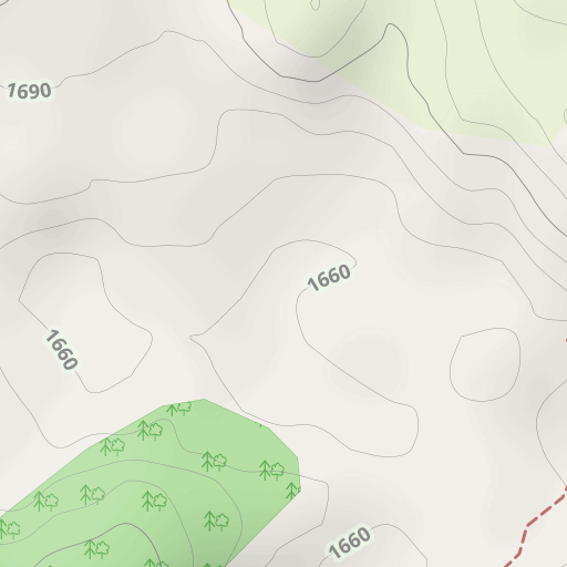
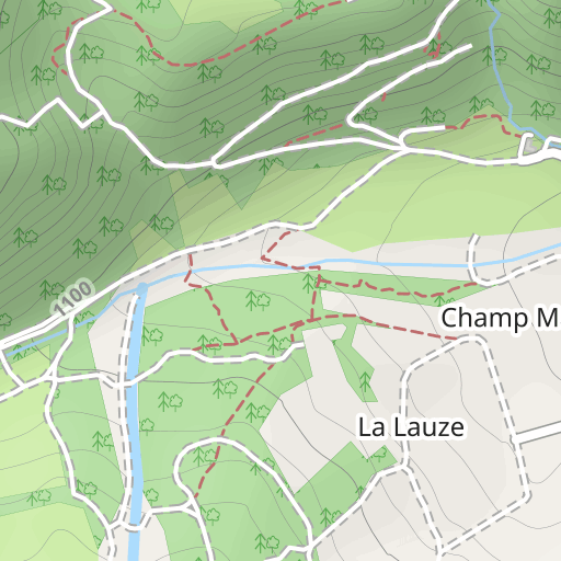
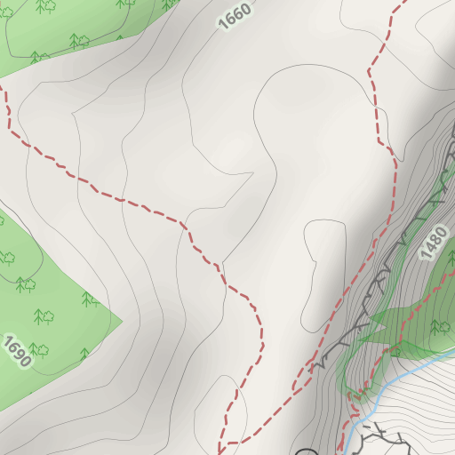
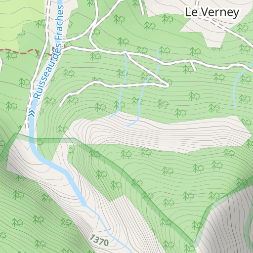
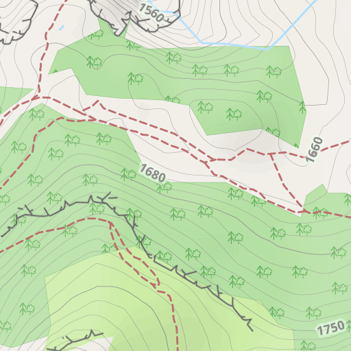
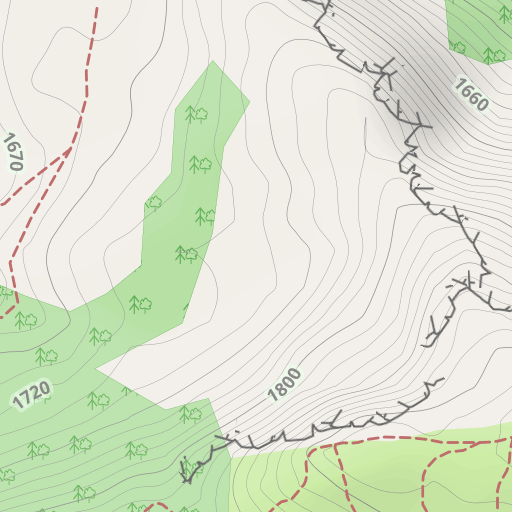
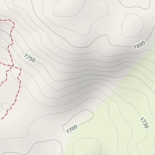
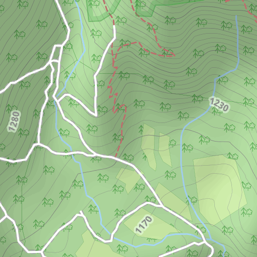
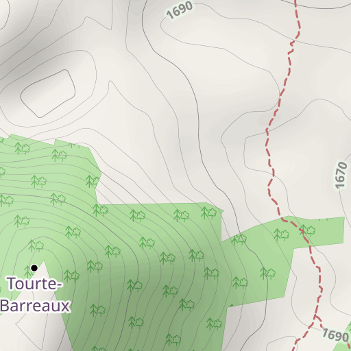
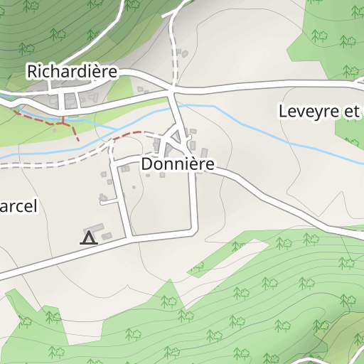
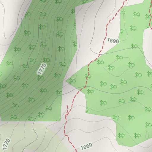
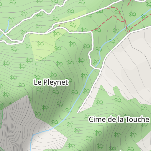
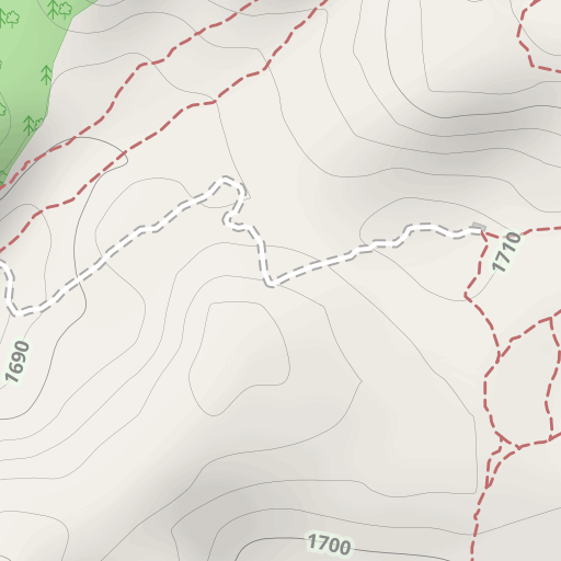
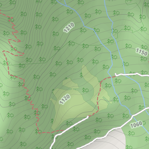
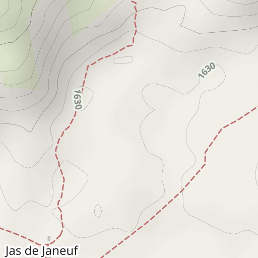
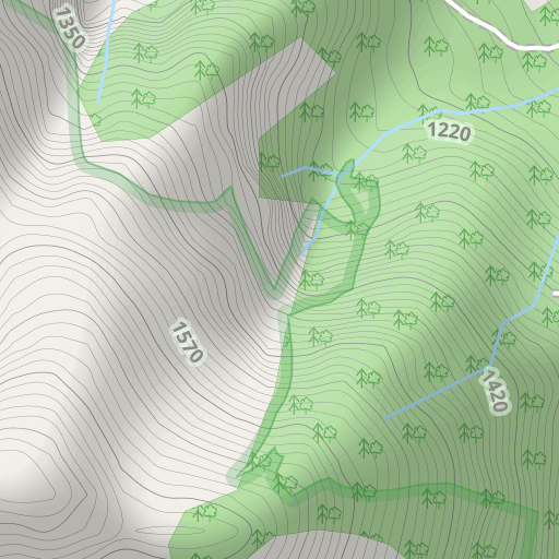
Discover this 8.4 km hiking route near Chichilianne. This route includes 5.4 km of forest tracks and 2.9 km of paths. It has a cumulative ascent of more than 580m. Allow about 4 hours and 5 minutes to complete this route.
Distance
8.36 km
Ascent
581 m
Descent
575 m
Min. altitude
1 061 m
Max. altitude
1 640 m
300 m
Route photos


A word from the author
The author has not added any information for this route yet
Encourage them to write a description of this route!
User reviews (0)
Did you love one place in particular? Why not share your experience with others? By leaving a review, you can help the OpenRunner community discover incredible places or avoid disappointments. Do not hesitate to share your feelings, you can make a difference!


