Be the first to leave a review

#14068505
71 km
ROAD CYCLING
Cahors Cahors ctccahors
Created on 12/29/2021
0 reviews
| 0 photos
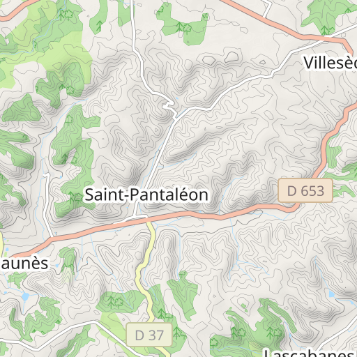
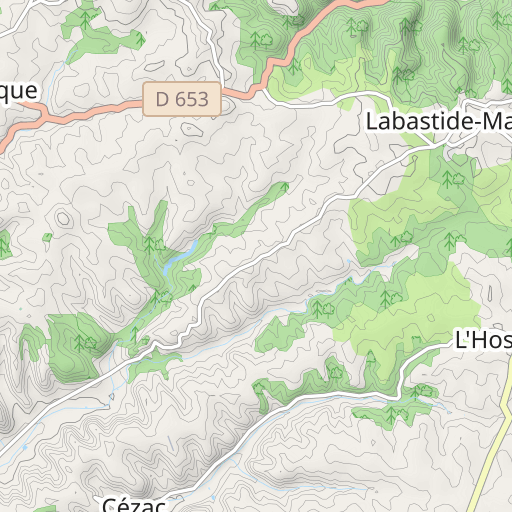
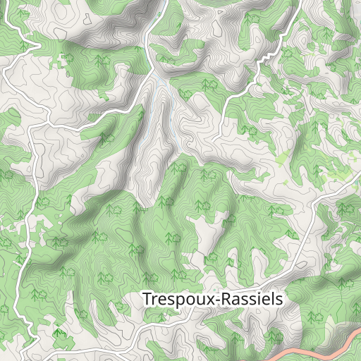
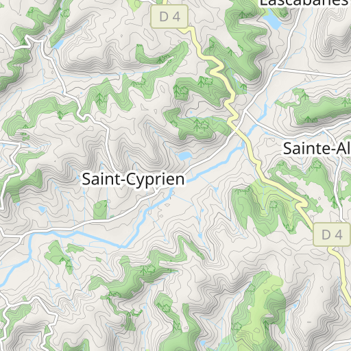
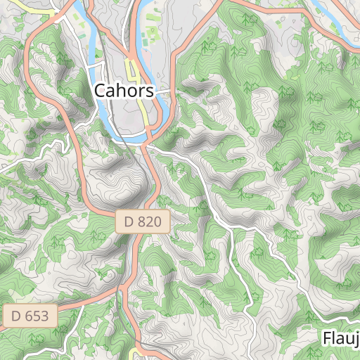
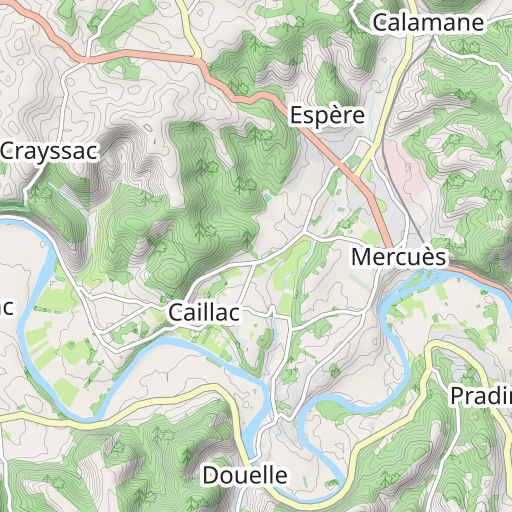
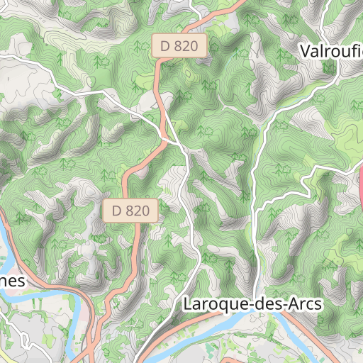
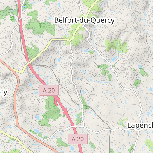
Discover this 70.7 km bike route near Cahors. This route includes only roads. It has a cumulative ascent of more than 950m.
Distance
70.74 km
Ascent
953 m
Descent
952 m
Min. altitude
115 m
Max. altitude
340 m

3 km
Route photos
The author has not added any photos to this route yet
Share your experience with photos taken along this route! Contact the author to suggest your images and bring this route to life for other enthusiasts.
A word from the author
Rating left by
ctccahors
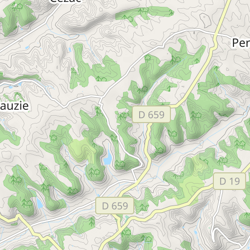
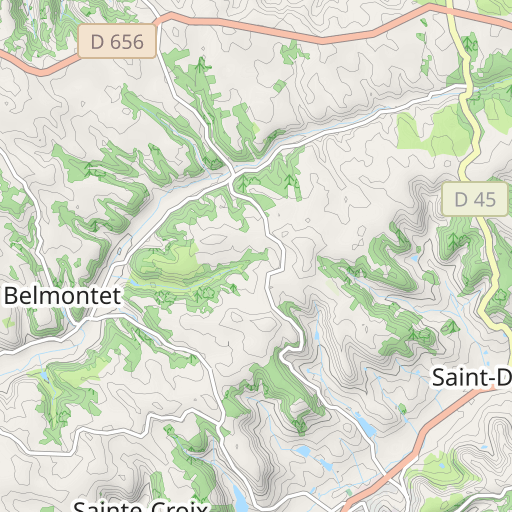
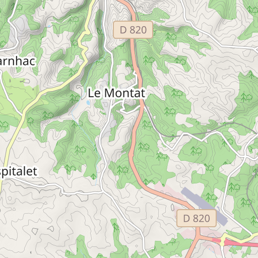
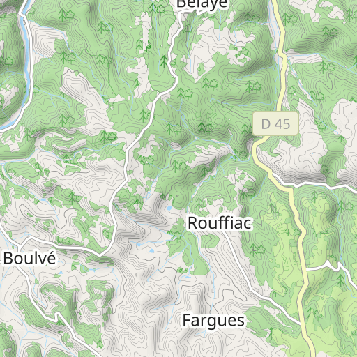
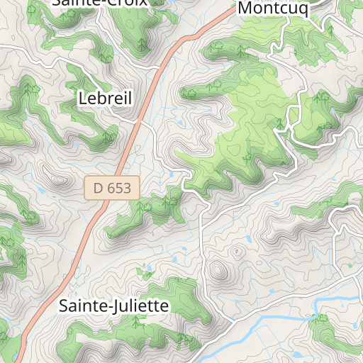
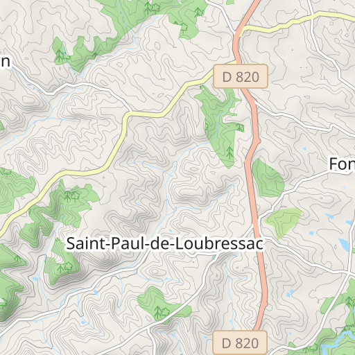
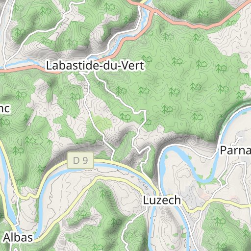
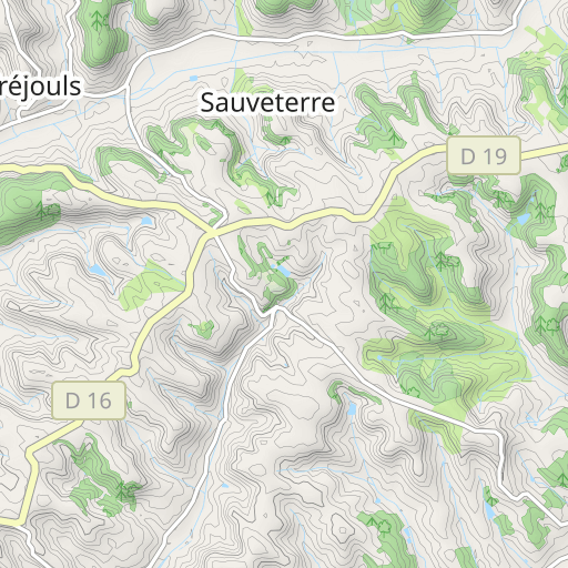
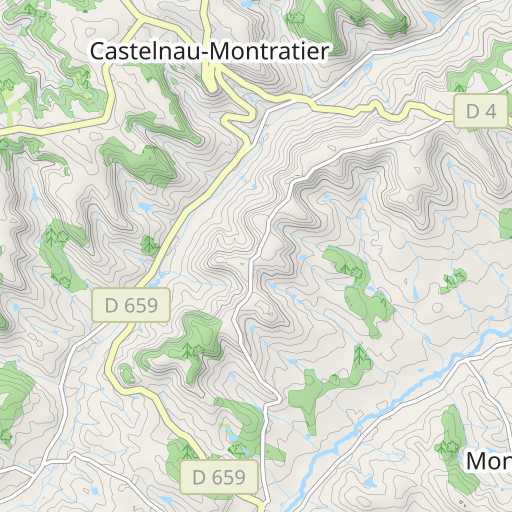
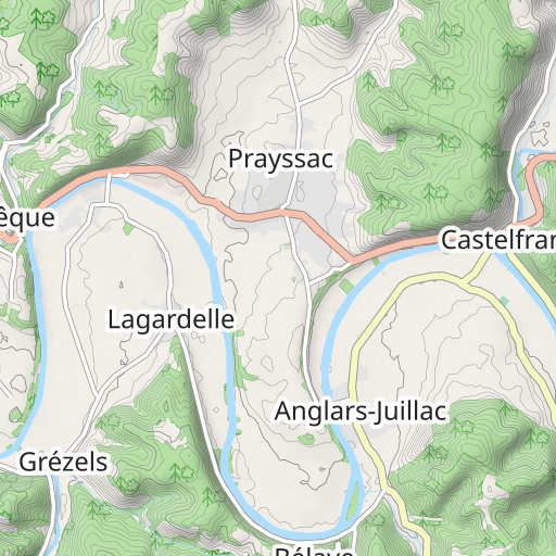
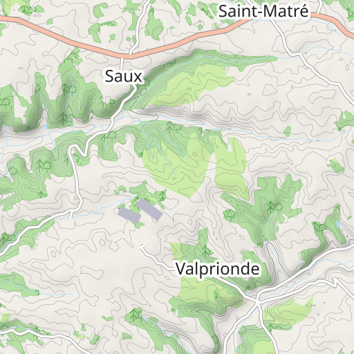
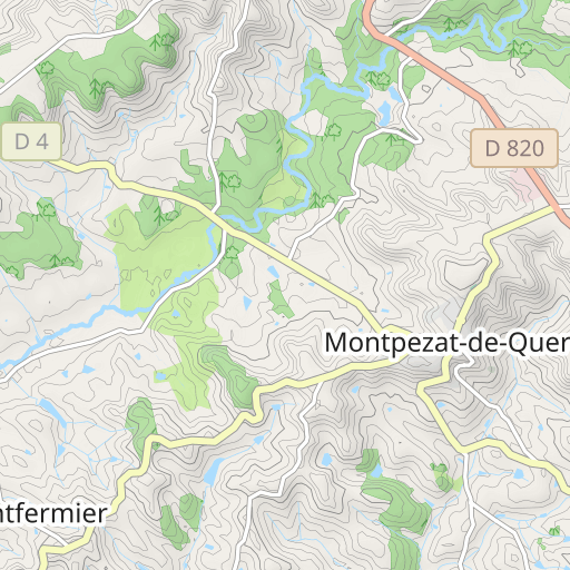
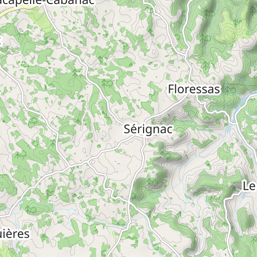
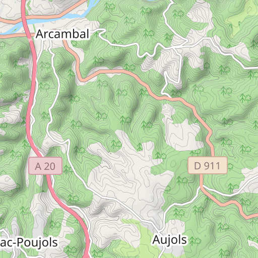
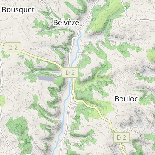
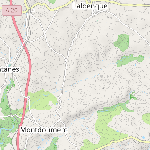
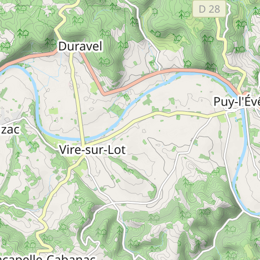
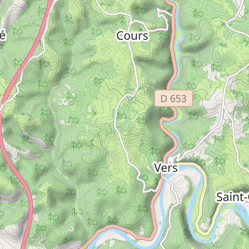
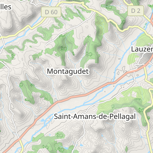
Cahors – le Bartassec – D820 – Roc de l’Agasse – D653 route de Montcuq sur 500 m – D7 à gauche Labastide-Marnhac – Lascabanes – Les Vignals – St-Laurent-Lolmie – à droite D55 St Laurent – Sortie du village à gche D28 Ch de Marcillac –D55 Montcuq – D653 à gauche sur 700m puis à dte D4– D23 à droite (vallée de la Séoune) – D45 à gauche à Cahors.
User reviews (0)
Did you love one place in particular? Why not share your experience with others? By leaving a review, you can help the OpenRunner community discover incredible places or avoid disappointments. Do not hesitate to share your feelings, you can make a difference!


