Be the first to leave a review
![2012-02-05-GR1](/_nuxt/img/town.8a41dac.png)
#1378116
2012-02-05-GR1
CYCLING - ROAD
Guipavas Guipavas ccguipavas
Created on 12/29/2011
0 reviews
| 0 photos
Discover this 80.8 km bike route near Guipavas. It has a cumulative ascent of more than 650m.
Distance
80.82 km
Ascent
650 m
Descent
650 m
Min. altitude
4 m
Max. altitude
172 m
![](https://tile.thunderforest.com/openrunner-c4e/12/1999/1415@2x.png?apikey=43cfba598a6c4bb29b84437d9659f53b)
![](https://tile.thunderforest.com/openrunner-c4e/12/2000/1415@2x.png?apikey=43cfba598a6c4bb29b84437d9659f53b)
![](https://tile.thunderforest.com/openrunner-c4e/12/1999/1416@2x.png?apikey=43cfba598a6c4bb29b84437d9659f53b)
![](https://tile.thunderforest.com/openrunner-c4e/12/2000/1416@2x.png?apikey=43cfba598a6c4bb29b84437d9659f53b)
![](https://tile.thunderforest.com/openrunner-c4e/12/1999/1414@2x.png?apikey=43cfba598a6c4bb29b84437d9659f53b)
![](https://tile.thunderforest.com/openrunner-c4e/12/2000/1414@2x.png?apikey=43cfba598a6c4bb29b84437d9659f53b)
![](https://tile.thunderforest.com/openrunner-c4e/12/1998/1415@2x.png?apikey=43cfba598a6c4bb29b84437d9659f53b)
![](https://tile.thunderforest.com/openrunner-c4e/12/2001/1415@2x.png?apikey=43cfba598a6c4bb29b84437d9659f53b)
![](https://tile.thunderforest.com/openrunner-c4e/12/1998/1416@2x.png?apikey=43cfba598a6c4bb29b84437d9659f53b)
![](https://tile.thunderforest.com/openrunner-c4e/12/2001/1416@2x.png?apikey=43cfba598a6c4bb29b84437d9659f53b)
![](https://tile.thunderforest.com/openrunner-c4e/12/1999/1417@2x.png?apikey=43cfba598a6c4bb29b84437d9659f53b)
![](https://tile.thunderforest.com/openrunner-c4e/12/2000/1417@2x.png?apikey=43cfba598a6c4bb29b84437d9659f53b)
![](https://tile.thunderforest.com/openrunner-c4e/12/1998/1414@2x.png?apikey=43cfba598a6c4bb29b84437d9659f53b)
![](https://tile.thunderforest.com/openrunner-c4e/12/2001/1414@2x.png?apikey=43cfba598a6c4bb29b84437d9659f53b)
![](https://tile.thunderforest.com/openrunner-c4e/12/1998/1417@2x.png?apikey=43cfba598a6c4bb29b84437d9659f53b)
![](https://tile.thunderforest.com/openrunner-c4e/12/2001/1417@2x.png?apikey=43cfba598a6c4bb29b84437d9659f53b)
![](https://tile.thunderforest.com/openrunner-c4e/12/1997/1415@2x.png?apikey=43cfba598a6c4bb29b84437d9659f53b)
![](https://tile.thunderforest.com/openrunner-c4e/12/2002/1415@2x.png?apikey=43cfba598a6c4bb29b84437d9659f53b)
![](https://tile.thunderforest.com/openrunner-c4e/12/1997/1416@2x.png?apikey=43cfba598a6c4bb29b84437d9659f53b)
![](https://tile.thunderforest.com/openrunner-c4e/12/2002/1416@2x.png?apikey=43cfba598a6c4bb29b84437d9659f53b)
![](https://tile.thunderforest.com/openrunner-c4e/12/1997/1414@2x.png?apikey=43cfba598a6c4bb29b84437d9659f53b)
![](https://tile.thunderforest.com/openrunner-c4e/12/2002/1414@2x.png?apikey=43cfba598a6c4bb29b84437d9659f53b)
![](https://tile.thunderforest.com/openrunner-c4e/12/1997/1417@2x.png?apikey=43cfba598a6c4bb29b84437d9659f53b)
![](https://tile.thunderforest.com/openrunner-c4e/12/2002/1417@2x.png?apikey=43cfba598a6c4bb29b84437d9659f53b)
3 km
Route photos
The author has not added any photos to this route yet
Share your experience with photos taken along this route! Contact the author to suggest your images and bring this route to life for other enthusiasts.
A word from the author
Rating left by
ccguipavas
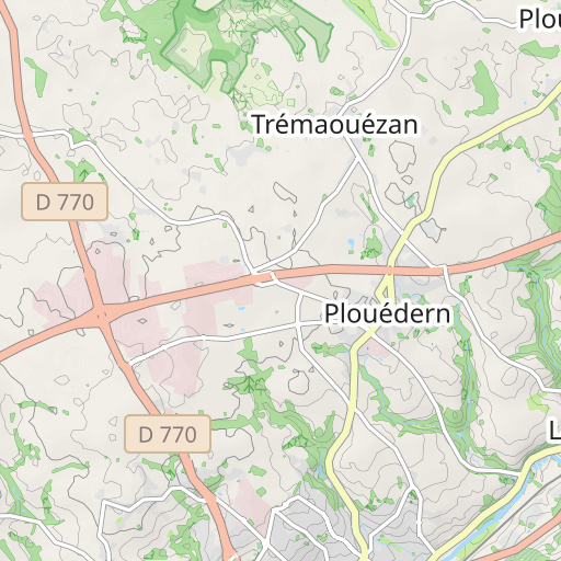
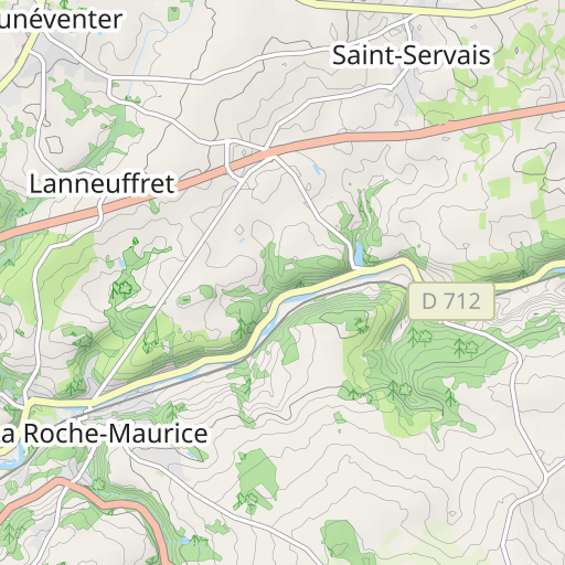
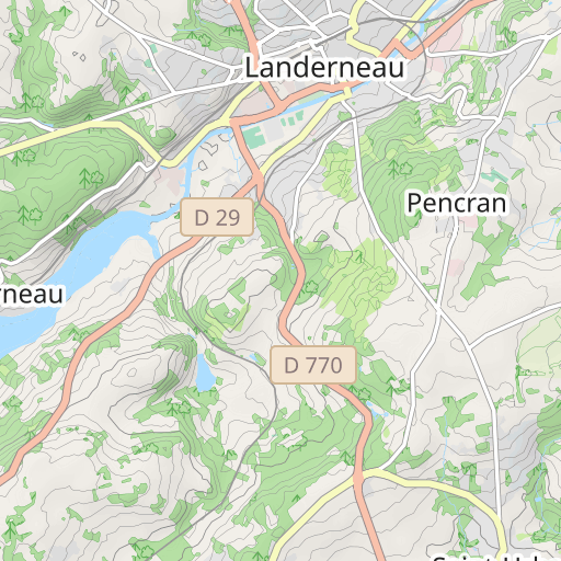
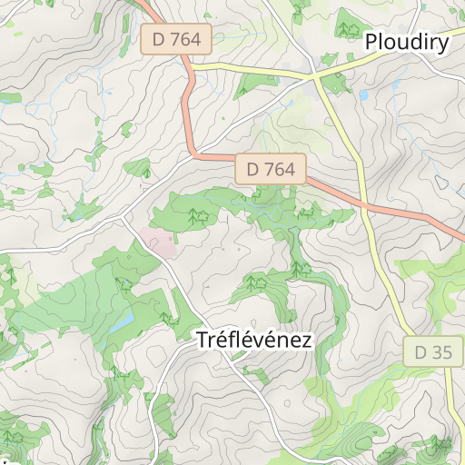
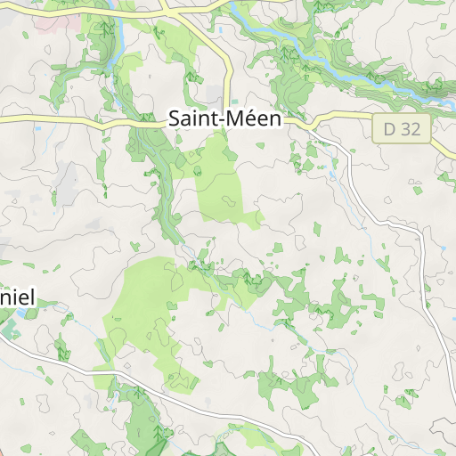
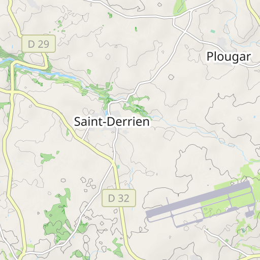
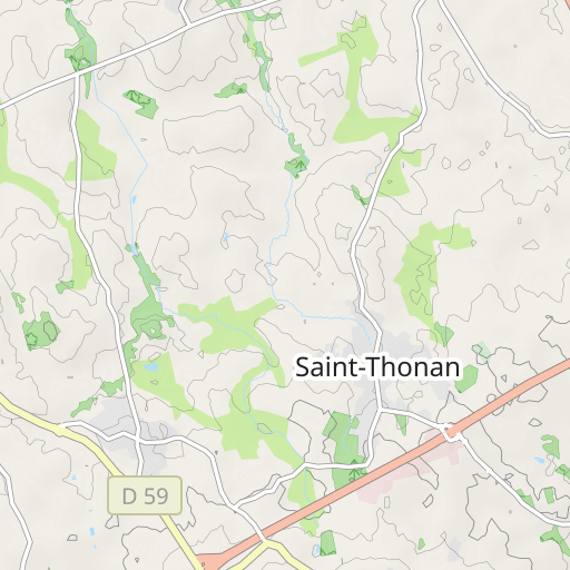
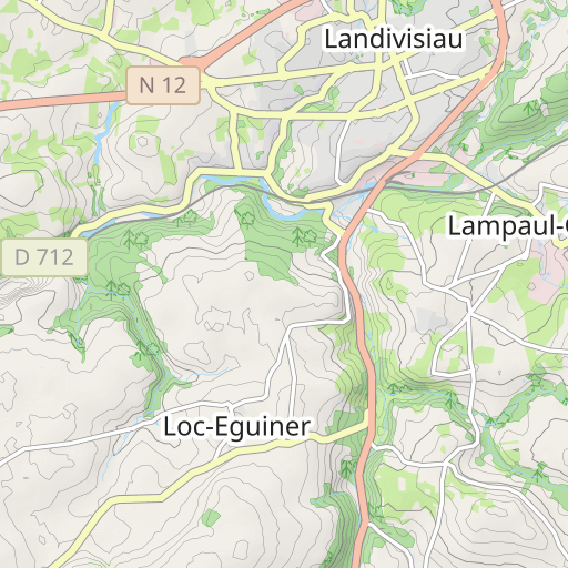
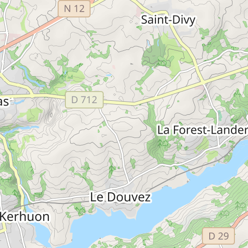
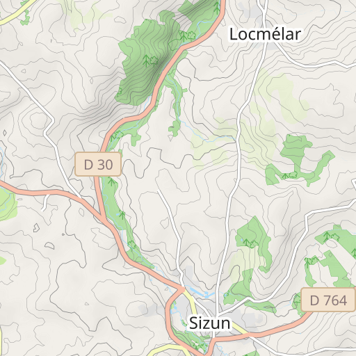
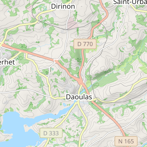
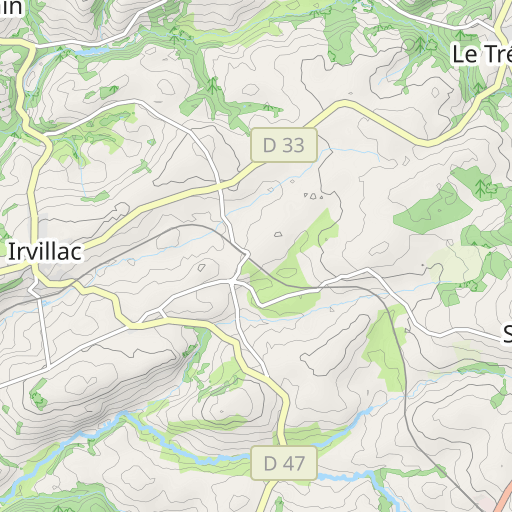
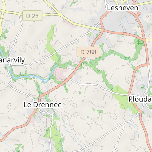
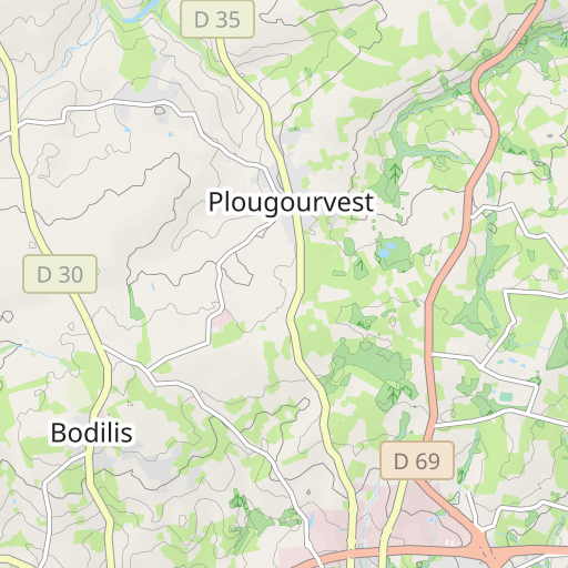
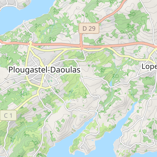
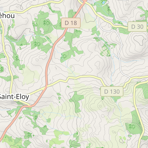
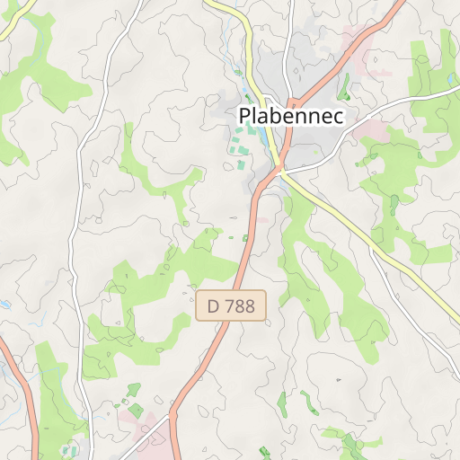
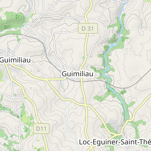
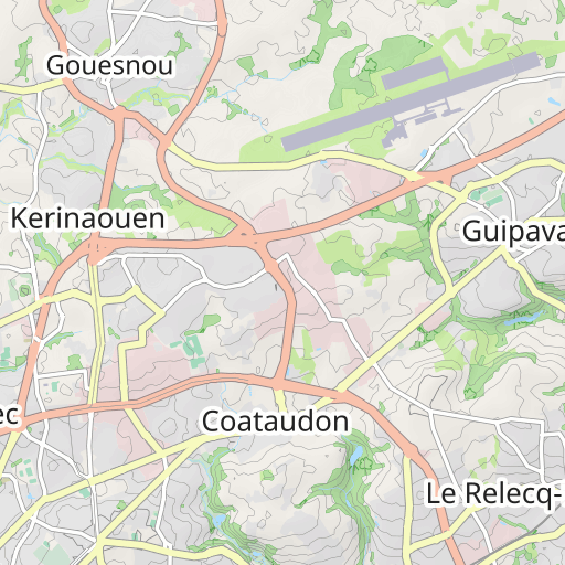
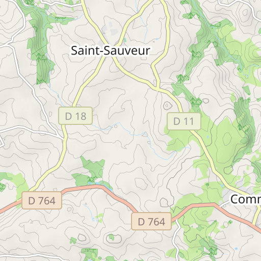
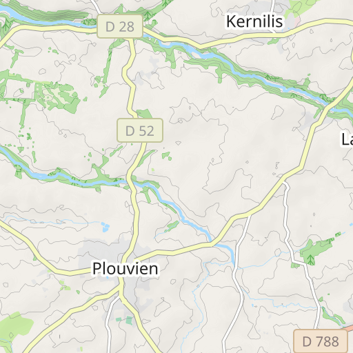
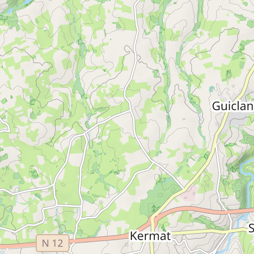
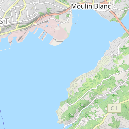
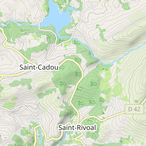
-1er groupe 81 km GROUPE 1A. 8h45 et 1B 8h46 Dénivelé : 675 m Guipavas St Divy Landerneau l’hôpital Pencran Le Tréhou Sizun St Sauveur Lampaul Guimiliau Gare de Landivisiau Landerneau St Divy Guipavas
User reviews (0)
Did you love one place in particular? Why not share your experience with others? By leaving a review, you can help the OpenRunner community discover incredible places or avoid disappointments. Do not hesitate to share your feelings, you can make a difference!