Borrowed by the author

#13325680
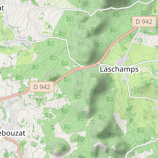
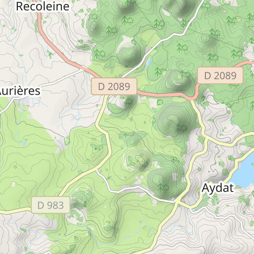
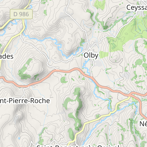
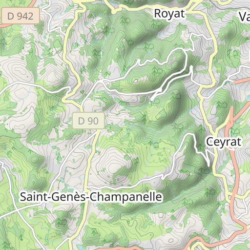
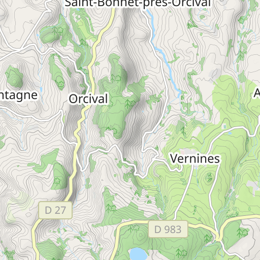
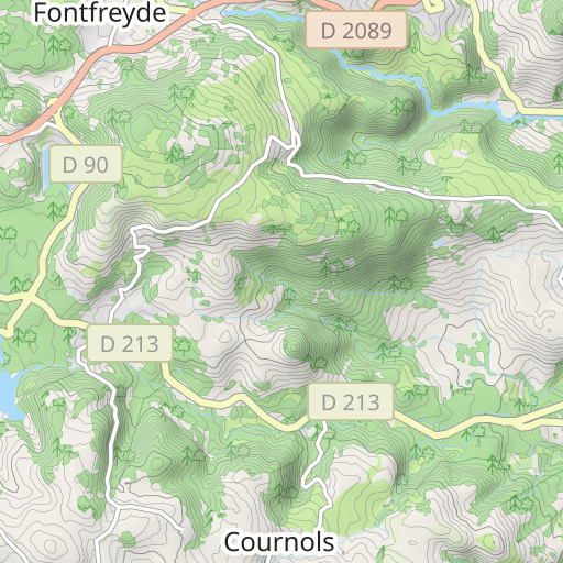
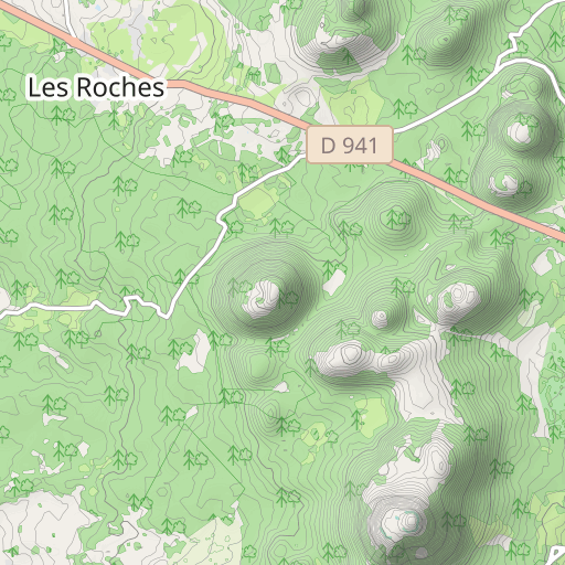
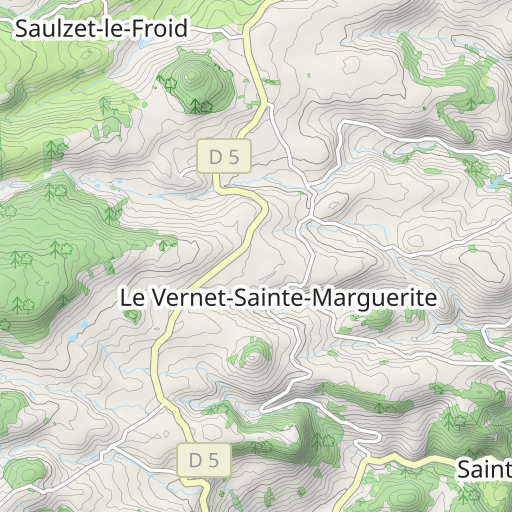
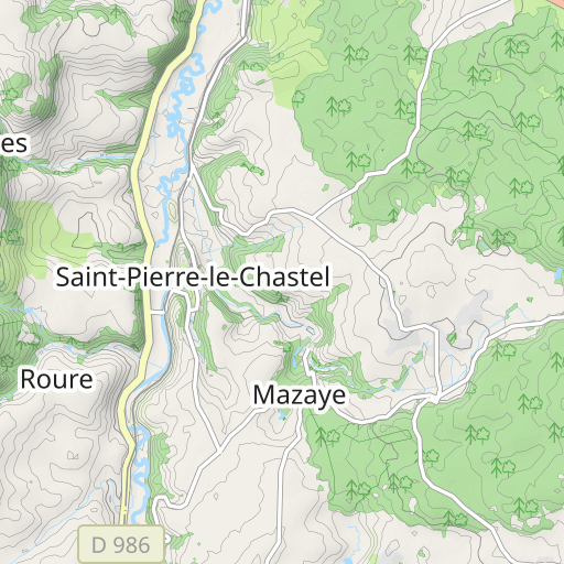
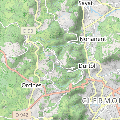
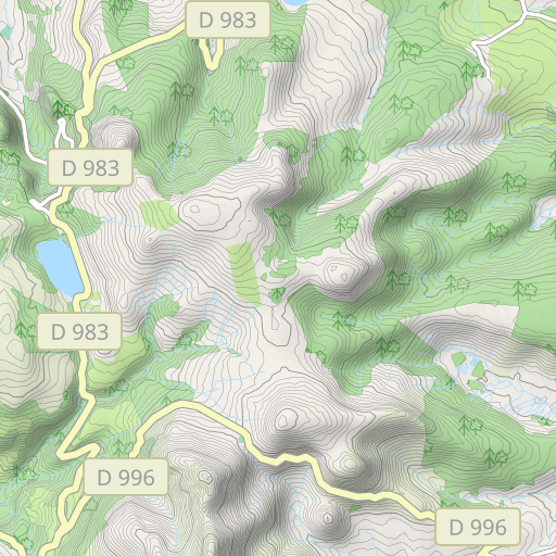
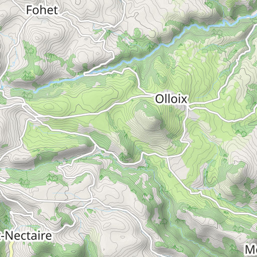
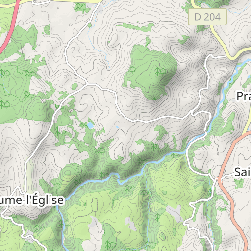
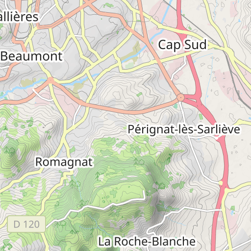
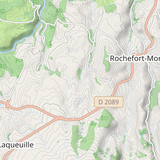
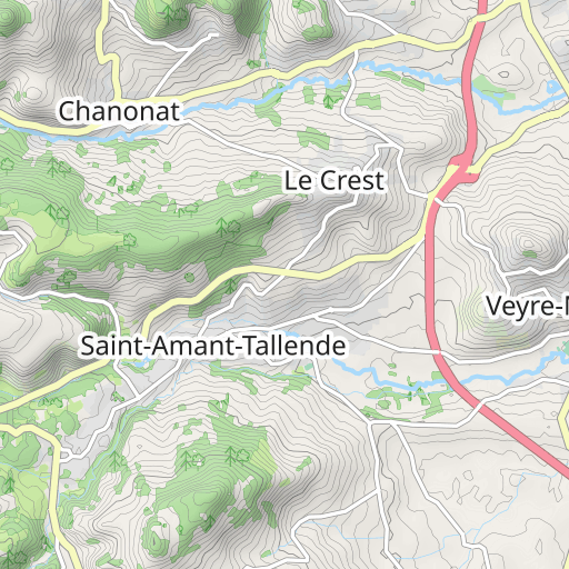
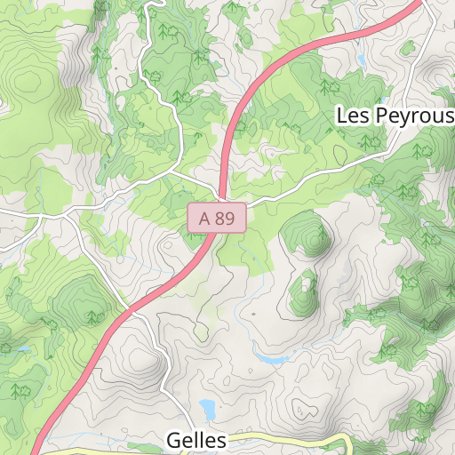
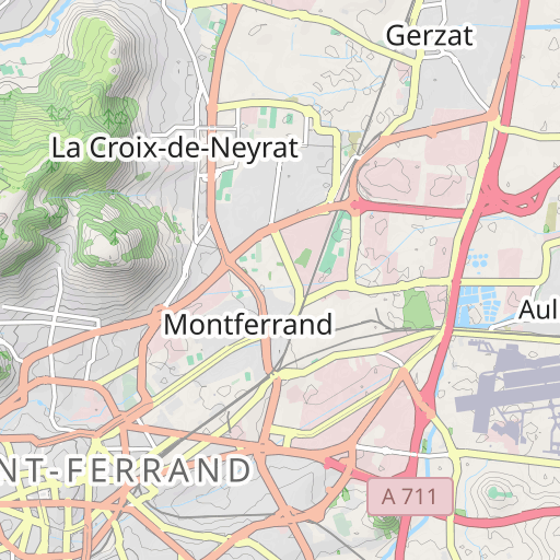
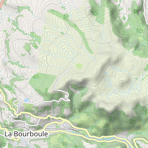
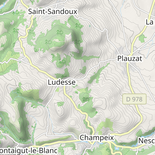
LaschampsAydatVichatel33km
CYCLING - MTB
Saint-Genès-Champanelle Saint-Genès-Champanelle velomarsat
Created on 7/1/2021
0 reviews
| 0 photos
Discover this 32 km mountain biking route near Saint-Genès-Champanelle. It has a cumulative ascent of more than 590m.
Distance
32.04 km
Ascent
596 m
Descent
593 m
Min. altitude
841 m
Max. altitude
1 098 m
2 km
Route photos
The author has not added any photos to this route yet
Share your experience with photos taken along this route! Contact the author to suggest your images and bring this route to life for other enthusiasts.
A word from the author
The author has not added any information for this route yet
Encourage them to write a description of this route!
User reviews (0)
Did you love one place in particular? Why not share your experience with others? By leaving a review, you can help the OpenRunner community discover incredible places or avoid disappointments. Do not hesitate to share your feelings, you can make a difference!


