Borrowed by the author

#13144760
210613 PJ O
ROAD CYCLING
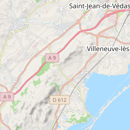
Saint-Jean-de-Védas Saint-Jean-de-Védas pignonlibrevedasien
Created on 5/29/2021
0 reviews
| 0 photos
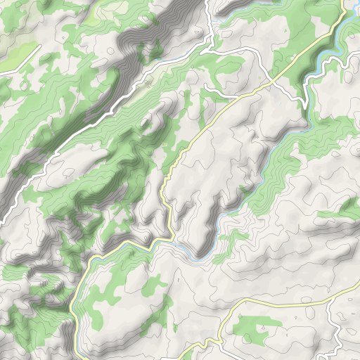
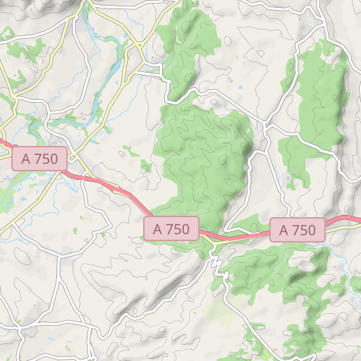
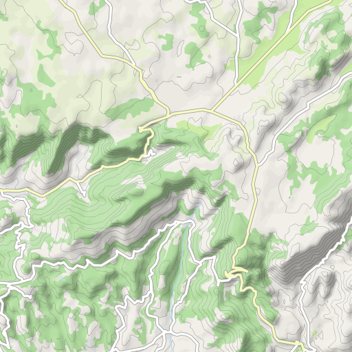
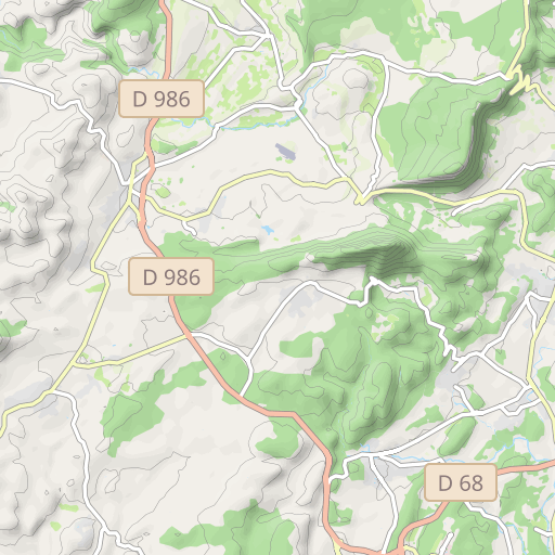
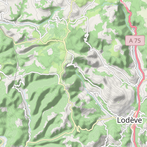
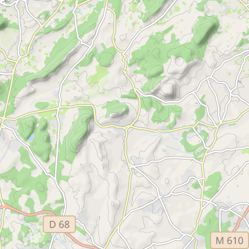
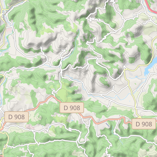
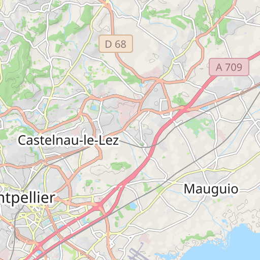
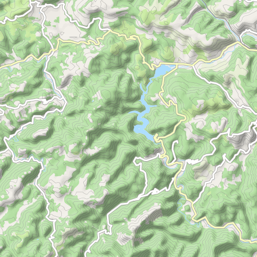
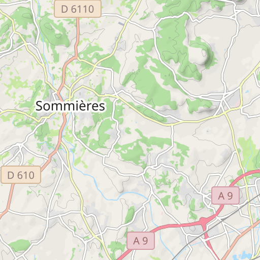
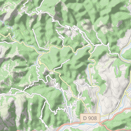
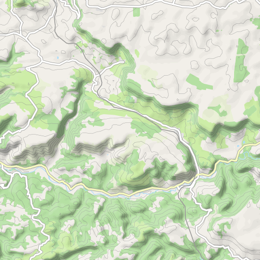
Discover this 149.5 km bike route near Saint-Jean-de-Védas. This route includes 138.1 km of roads. It has a cumulative ascent of more than 1740m.
Distance
149.45 km
Ascent
1 746 m
Descent
1 747 m
Min. altitude
24 m
Max. altitude
709 m

5 km
Route photos
The author has not added any photos to this route yet
Share your experience with photos taken along this route! Contact the author to suggest your images and bring this route to life for other enthusiasts.
A word from the author
Rating left by
pignonlibrevedasien
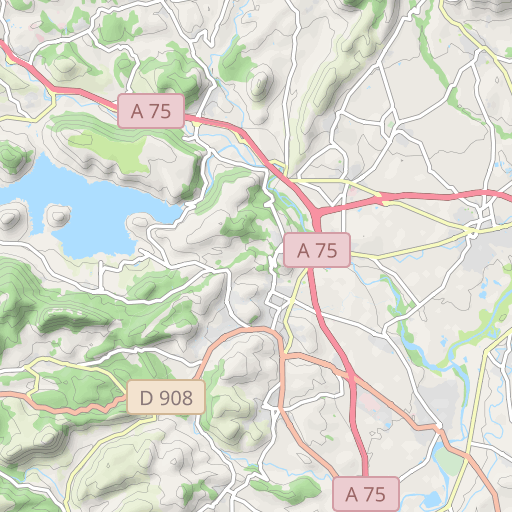
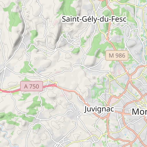
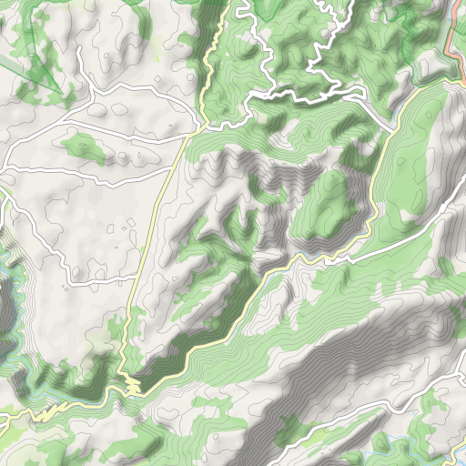
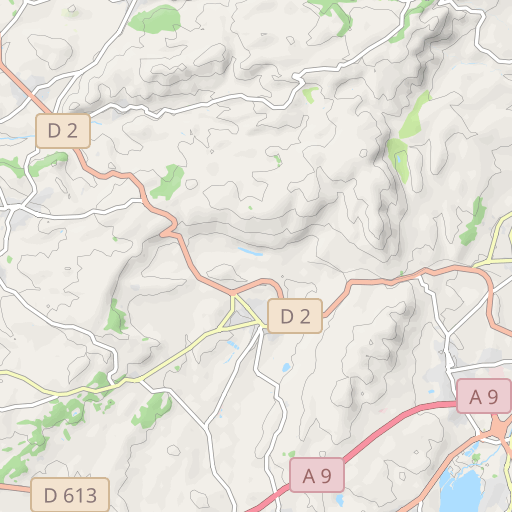
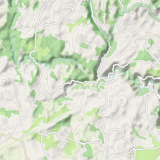
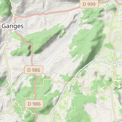
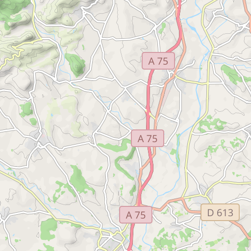
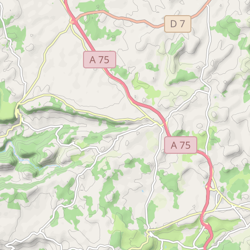
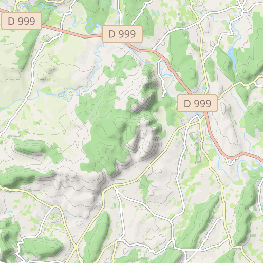
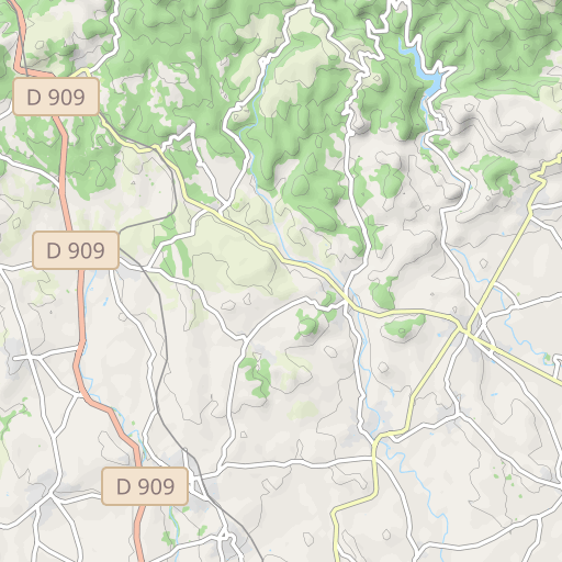
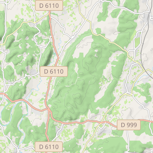
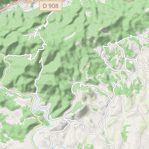
St Jean - Lavérune - Bel Air - St Paul - La Boissière - Aniane - Pt du Diable - Montpeyroux - Arboras - Col du vent - La Vacquerie - St Etienne de Gourgas - Fozières - Lodève - Le Péras - Octon (repas tiré du sac, avant Octon, au bord du lac du Salagou) - Mourèze - Clermont l'Hérault - Ceyras - St André de Sangonis - Gignac - La Taillade - Cournonterral - St Jean
User reviews (0)
Did you love one place in particular? Why not share your experience with others? By leaving a review, you can help the OpenRunner community discover incredible places or avoid disappointments. Do not hesitate to share your feelings, you can make a difference!


