Route Printing
Make an Impression on Your Outings!
Hiking and cycling enthusiasts can bring their outdoor adventures to life with OpenRunner's route printing function. This feature allows users to generate detailed maps of their routes, with a multitude of customization options to meet their specific needs. In this article, we will explore in detail the different facets of this feature that make outdoor exploration even more enjoyable.
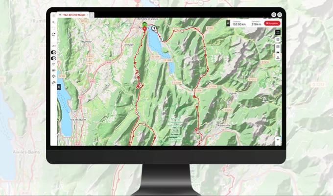
When using the print function on OpenRunner, one of the first decisions to make is the map background you want to use. You have a choice between various options, including IGN France, IGN Belgium, Thunderforest, and many others. This flexibility allows you to personalize your experience based on your location and preferences.
Customizing the trace is one of the key features of the printing function. It's possible to adjust the thickness and color of the trace, allowing you to highlight specific sections of the route or adapt it to your visual preferences.
OpenRunner offers multiple printing formats to cater to everyone's needs. Whether you want an A4-sized map for quick reference or an A0-sized map for a more detailed overview, you can choose the format that suits you best.
A particularly practical feature of the printing function is the ability to print multiple routes at the same time. This allows you to plan multiple trips or share routes with friends without having to print each route separately.
Customization doesn’t stop at the trace. You can also recenter, zoom in, and zoom out on the map to create the most precise view of your route. Whether you prefer an overview or a zoom on a specific region, OpenRunner gives you control.
To cater to different preferences and needs, OpenRunner allows printing maps in landscape or portrait format. This flexibility ensures that the printed map aligns with your vision.
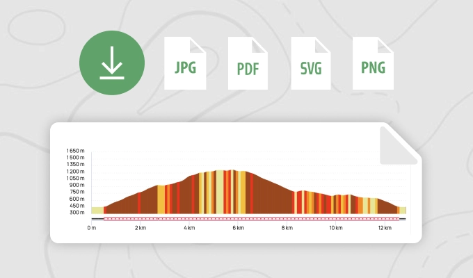
To further enhance your map, OpenRunner allows you to add various information, such as points of interest, UTM grid, or even road and mule passes from the Cents Cols database. You can also include an altitude profile, as well as data on positive elevation and length of your route.
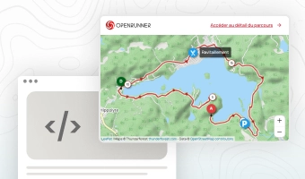
For those who love sharing their outdoor adventures with friends and family, OpenRunner has included a handy feature. For public routes, a QR code is generated, making it easy for you to share your routes with others. In summary, OpenRunner's printing function is an invaluable resource for outdoor enthusiasts. It offers a wide range of customization options, printing formats, and the ability to add additional information to create detailed route maps. Whether you're a passionate hiker or an experienced cyclist, OpenRunner helps make your adventures even more memorable and shareable. So, get ready to explore new horizons and print your next routes with OpenRunner!