Emprunté par l'auteur

#4973796
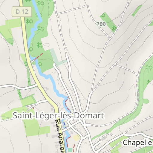
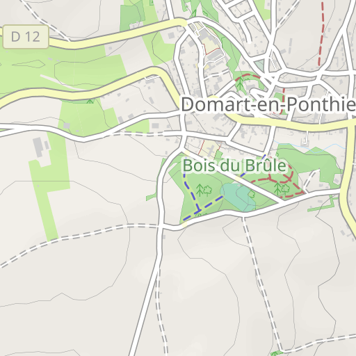
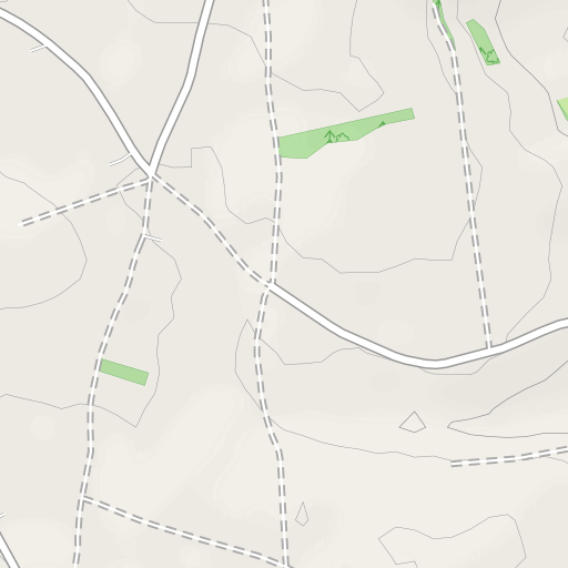
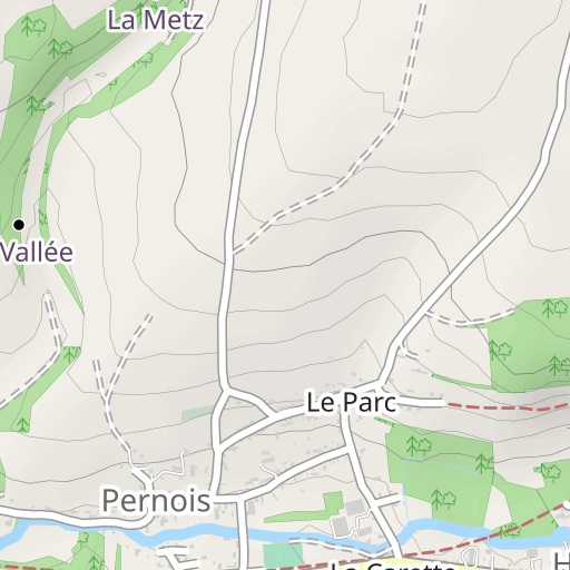
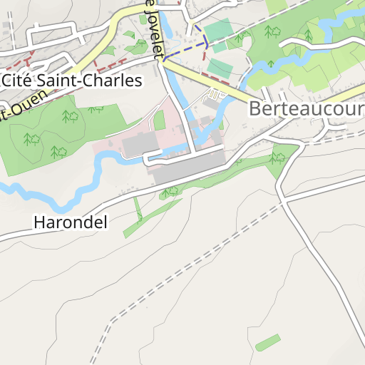
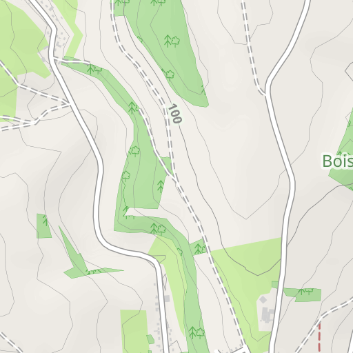
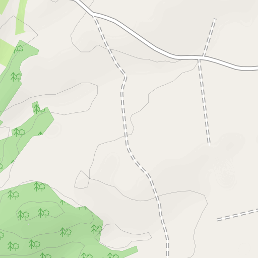
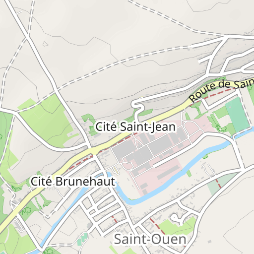
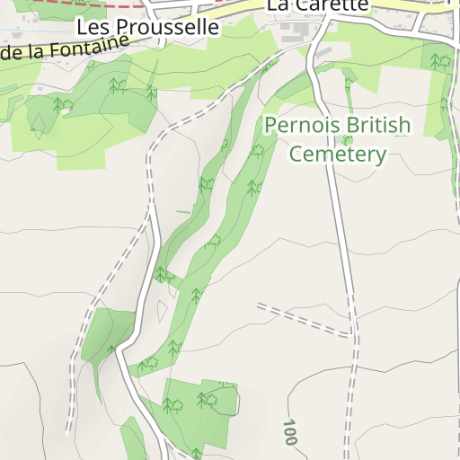
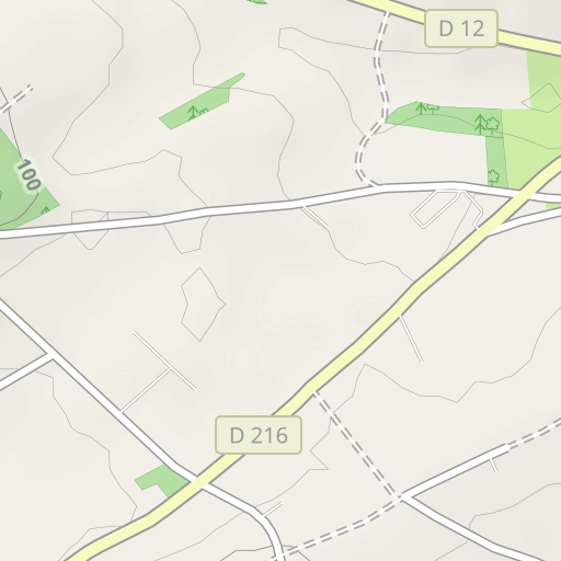
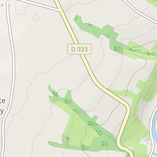
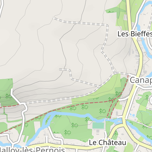
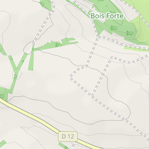
Saint Léger les Domart-21,782km
COURSE À PIED - TRAIL
Saint-Léger-lès-Domart Saint-Léger-lès-Domart roadrunning
Créé le 26/06/2015
5,0 0 avis
| 0 photos
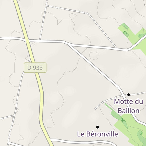
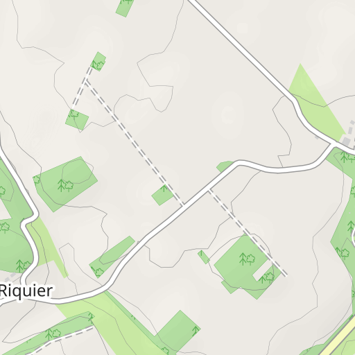
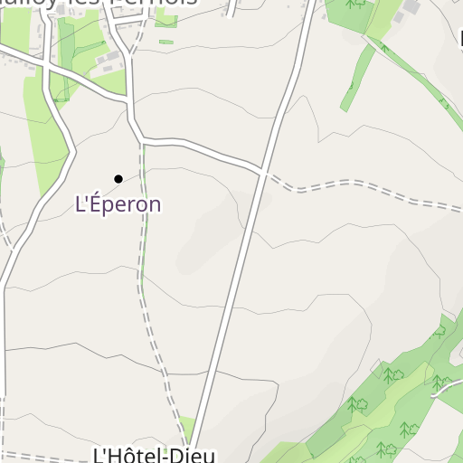
Découvrez ce parcours de trail de 21,8 km à proximité de Saint-Léger-lès-Domart. Il présente une ascension cumulée de plus de 290m.
Distance
21.78 km
Dénivelé +
298 m
Dénivelé -
298 m
Altitude min.
28 m
Altitude max.
116 m


500 m
Photos du parcours
L'auteur n'a pas encore ajouté de photos à ce parcours
Partagez votre expérience avec des photos prises le long de ce parcours ! Contactez l'auteur pour suggérer vos images et faire vivre cet itinéraire aux autres passionnés.
Mot de l'auteur
Note laissée par
roadrunning
<p>Parcours varié au départ de Saint léger, comprenant des passages sur chemins d'exploitation, chemins forestiers, monotraces en sous-bois, chemins étroits entre habitations, de quoi passer un agréable moment tout au long du tracé. Bonne sortie !</p>
Avis des utilisateurs (0)
Vous avez adoré un endroit en particulier ? Pourquoi ne pas partager votre expérience avec les autres ? En laissant un avis, vous pouver aider la communauté OpenRunner à découvrir des endroits incroyables ou à éviter les déceptions. N'hésitez pas à partager votre ressenti, vous pouvez faire la différence !


